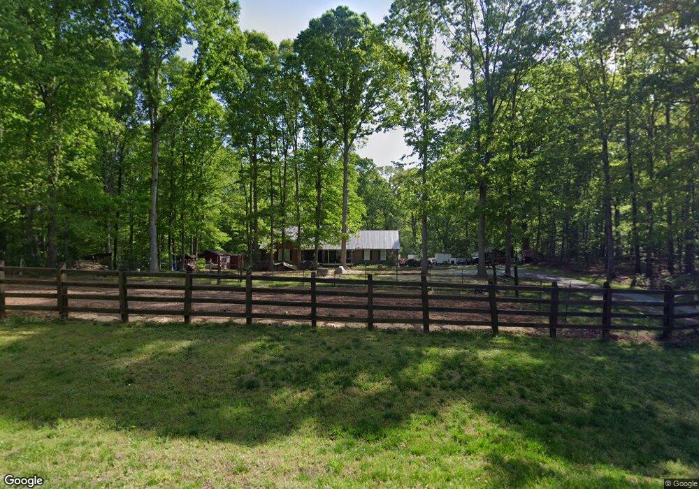
467 Mason Mill Rd Danielsville, GA 30633
Estimated Value: $342,178 - $448,000
--
Bed
2
Baths
1,927
Sq Ft
$203/Sq Ft
Est. Value
About This Home
This home is located at 467 Mason Mill Rd, Danielsville, GA 30633 and is currently estimated at $391,045, approximately $202 per square foot. 467 Mason Mill Rd is a home located in Madison County with nearby schools including Madison County High School.
Ownership History
Date
Name
Owned For
Owner Type
Purchase Details
Closed on
Mar 14, 2008
Sold by
Scoggins Larry
Bought by
Moore Burton
Current Estimated Value
Purchase Details
Closed on
Dec 3, 2003
Sold by
Pethel John
Bought by
Harper Christopher E and Harper Alice S
Purchase Details
Closed on
Jan 1, 1993
Bought by
Pethel John
Create a Home Valuation Report for This Property
The Home Valuation Report is an in-depth analysis detailing your home's value as well as a comparison with similar homes in the area
Home Values in the Area
Average Home Value in this Area
Purchase History
| Date | Buyer | Sale Price | Title Company |
|---|---|---|---|
| Moore Burton | $162,000 | -- | |
| Harper Christopher E | $142,500 | -- | |
| Pethel John | $12,000 | -- |
Source: Public Records
Tax History Compared to Growth
Tax History
| Year | Tax Paid | Tax Assessment Tax Assessment Total Assessment is a certain percentage of the fair market value that is determined by local assessors to be the total taxable value of land and additions on the property. | Land | Improvement |
|---|---|---|---|---|
| 2024 | $3,125 | $122,069 | $25,474 | $96,595 |
| 2023 | $3,405 | $111,545 | $21,228 | $90,317 |
| 2022 | $2,547 | $94,342 | $14,595 | $79,747 |
| 2021 | $2,252 | $75,778 | $14,595 | $61,183 |
| 2020 | $2,203 | $73,655 | $12,472 | $61,183 |
| 2019 | $2,188 | $72,353 | $12,472 | $59,881 |
| 2018 | $2,119 | $69,941 | $11,411 | $58,530 |
| 2017 | $1,872 | $65,014 | $10,614 | $54,400 |
| 2016 | $1,596 | $57,594 | $10,614 | $46,980 |
| 2015 | $1,642 | $59,197 | $12,217 | $46,980 |
| 2014 | $1,651 | $59,141 | $12,221 | $46,920 |
| 2013 | -- | $59,171 | $12,221 | $46,950 |
Source: Public Records
Map
Nearby Homes
- 795 E Jones Chapel Rd
- 0 Carey Ford Rd Unit 10495957
- 450 Stagecoach Way
- 0 Carey-Ford Rd
- 0 Cedar Ln Unit 1026097
- 0 Cedar Ln Unit 10530523
- 0 Georgia 191
- 107 Hill Lake Rd
- 266 Water Oak Rd
- 0 Hwy 29 N Unit 10574548
- 0 Hwy 29 N Unit CL335575
- 1885 Highway 29 N
- 00 Georgia 174 Unit 1
- 0 Dickson Dr Unit 416392
- 0 Dickson Dr Unit 7594620
- 0 Dickson Dr Unit 23800701
- 0 Dickson Dr Unit 10539867
- 417 Cheek Pulliam Rd
- 0 Irvin Kirk Rd
- 955 Collins Dudley Rd
- 467 Mason Mill Rd
- 367 Mason Mill Rd
- Tract C Mason Mill Rd
- 508 Mason Mill Rd
- 225 Mason Mill Rd
- 346 Mason Mill Rd
- 295 Mason Mill Rd
- 452 Mason Mill Rd
- 101 Mason Mill Dr
- 456 Mason Mill Rd
- 573 Mason Mill Rd
- 230 Mason Mill Rd
- 195 Mason Mill Rd
- 118 Mason Mill Dr
- 161 Mason Mill Rd
- 138 Mason Mill Rd
- 119 Mason Mill Rd
- 95 Mason Mill Rd
- 199 Phillips Rd
- 63 Mason Mill Rd