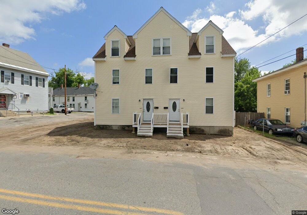
467 Riverside St Dracut, MA 01826
Estimated Value: $723,700 - $861,000
7
Beds
5
Baths
3,512
Sq Ft
$224/Sq Ft
Est. Value
About This Home
This home is located at 467 Riverside St, Dracut, MA 01826 and is currently estimated at $787,675, approximately $224 per square foot. 467 Riverside St is a home located in Middlesex County with nearby schools including George H. Englesby Elementary School, Richardson Middle School, and Dracut Senior High School.
Ownership History
Date
Name
Owned For
Owner Type
Purchase Details
Closed on
Jun 10, 2011
Sold by
Renaud Larry J and Renaud Marcia L J
Bought by
Zalaket George D
Current Estimated Value
Home Financials for this Owner
Home Financials are based on the most recent Mortgage that was taken out on this home.
Original Mortgage
$208,000
Outstanding Balance
$144,596
Interest Rate
4.81%
Mortgage Type
Purchase Money Mortgage
Estimated Equity
$643,079
Purchase Details
Closed on
May 19, 1995
Sold by
Renaud Eugene and Renaud Janice
Bought by
Renaud Larry and Renaud Marcia
Home Financials for this Owner
Home Financials are based on the most recent Mortgage that was taken out on this home.
Original Mortgage
$90,000
Interest Rate
8.34%
Mortgage Type
Purchase Money Mortgage
Create a Home Valuation Report for This Property
The Home Valuation Report is an in-depth analysis detailing your home's value as well as a comparison with similar homes in the area
Home Values in the Area
Average Home Value in this Area
Purchase History
| Date | Buyer | Sale Price | Title Company |
|---|---|---|---|
| Zalaket George D | $260,000 | -- | |
| Renaud Larry | $95,000 | -- |
Source: Public Records
Mortgage History
| Date | Status | Borrower | Loan Amount |
|---|---|---|---|
| Open | Zalaket George D | $208,000 | |
| Previous Owner | Renaud Larry | $90,000 |
Source: Public Records
Tax History
| Year | Tax Paid | Tax Assessment Tax Assessment Total Assessment is a certain percentage of the fair market value that is determined by local assessors to be the total taxable value of land and additions on the property. | Land | Improvement |
|---|---|---|---|---|
| 2025 | $6,720 | $664,000 | $139,500 | $524,500 |
| 2024 | $6,492 | $621,200 | $132,900 | $488,300 |
| 2023 | $7,192 | $621,100 | $115,600 | $505,500 |
| 2022 | $6,694 | $544,700 | $105,000 | $439,700 |
| 2021 | $6,311 | $485,100 | $95,500 | $389,600 |
| 2020 | $5,947 | $445,500 | $92,700 | $352,800 |
| 2019 | $5,371 | $390,600 | $88,300 | $302,300 |
| 2018 | $5,177 | $366,100 | $88,300 | $277,800 |
| 2017 | $4,604 | $366,100 | $88,300 | $277,800 |
| 2016 | $4,541 | $306,000 | $84,900 | $221,100 |
| 2015 | $4,569 | $306,000 | $84,900 | $221,100 |
| 2014 | $4,082 | $281,700 | $84,900 | $196,800 |
Source: Public Records
Map
Nearby Homes
- 49 Sparks St
- 94 Hampson St
- 39 Phoebe Ave
- 244 White St
- 75 Sladen St
- 16 Peabody Ave
- 28 Sarah Ave
- 26 Farmland Rd Unit C
- 101 Donohue Rd Unit 19
- 15 Louis Farm Rd Unit 15
- 51 Tobey Rd Unit 47
- 25 Tobey Rd Unit 57
- 30 4th Ave
- 19 Louis Farm Rd Unit 19
- 13 Louis Farm Rd Unit 13
- 417 Hildreth St Unit 2
- 417 Hildreth St Unit 30
- 89 Mammoth Rd
- 272 W 6th St
- 367 Hildreth St Unit 14
- 465 Riverside St Unit 467
- 461 Riverside St
- 459 Riverside St
- 489 Riverside St
- 473 Riverside St
- 475 Riverside St Unit 479
- 453 Riverside St
- 466 Riverside St
- 22 Bay St
- 472 Riverside St
- 458 Riverside St
- 447 Riverside St
- 18 Bay St
- 446 Riverside St Unit 2
- 444 Riverside St Unit 1
- 444 Riverside St Unit 2
- 444 Riverside St
- 487 Riverside St
- 12 Bay St
- 439 Riverside St
Your Personal Tour Guide
Ask me questions while you tour the home.