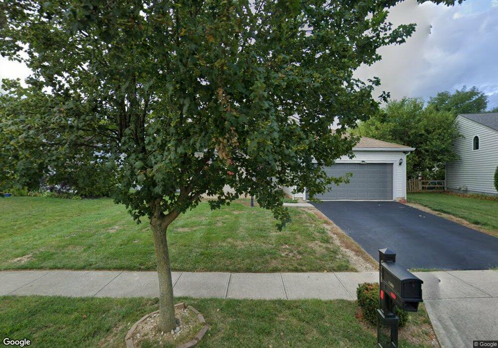
467 Rothgate Dr Groveport, OH 43125
Estimated Value: $278,041 - $311,000
2
Beds
2
Baths
1,402
Sq Ft
$206/Sq Ft
Est. Value
About This Home
This home is located at 467 Rothgate Dr, Groveport, OH 43125 and is currently estimated at $289,510, approximately $206 per square foot. 467 Rothgate Dr is a home located in Franklin County with nearby schools including Groveport Madison High School, Groveport Community School, and Madison Christian School.
Ownership History
Date
Name
Owned For
Owner Type
Purchase Details
Closed on
Apr 24, 2002
Sold by
M/I Schottenstein Homes Inc
Bought by
Smith Eddie H and Smith Brenda L
Current Estimated Value
Home Financials for this Owner
Home Financials are based on the most recent Mortgage that was taken out on this home.
Original Mortgage
$172,589
Interest Rate
7.24%
Mortgage Type
VA
Create a Home Valuation Report for This Property
The Home Valuation Report is an in-depth analysis detailing your home's value as well as a comparison with similar homes in the area
Home Values in the Area
Average Home Value in this Area
Purchase History
| Date | Buyer | Sale Price | Title Company |
|---|---|---|---|
| Smith Eddie H | $169,300 | Transohio Residential Title |
Source: Public Records
Mortgage History
| Date | Status | Borrower | Loan Amount |
|---|---|---|---|
| Closed | Smith Eddie H | $172,589 |
Source: Public Records
Tax History Compared to Growth
Tax History
| Year | Tax Paid | Tax Assessment Tax Assessment Total Assessment is a certain percentage of the fair market value that is determined by local assessors to be the total taxable value of land and additions on the property. | Land | Improvement |
|---|---|---|---|---|
| 2024 | $4,247 | $86,840 | $24,150 | $62,690 |
| 2023 | $4,209 | $86,835 | $24,150 | $62,685 |
| 2022 | $3,232 | $53,200 | $8,400 | $44,800 |
| 2021 | $3,245 | $53,200 | $8,400 | $44,800 |
| 2020 | $3,252 | $53,200 | $8,400 | $44,800 |
| 2019 | $3,071 | $44,280 | $7,000 | $37,280 |
| 2018 | $3,191 | $44,280 | $7,000 | $37,280 |
| 2017 | $3,180 | $44,280 | $7,000 | $37,280 |
| 2016 | $3,265 | $42,430 | $8,020 | $34,410 |
| 2015 | $3,294 | $42,430 | $8,020 | $34,410 |
| 2014 | $3,101 | $42,430 | $8,020 | $34,410 |
| 2013 | $1,392 | $44,660 | $8,435 | $36,225 |
Source: Public Records
Map
Nearby Homes
- 250 Green Ave
- 456 Benson Dr
- 336 Lambert St
- 287 College St
- 199 Mohr Ave
- 537 Blacklick St
- 111 Church St
- 3450 Rohr Rd
- 3515 Rohr Rd
- 135 Front St
- 0 Pontius Rd
- 3463 Rohr Rd
- 3461 Rohr Rd
- 4868 Hendron Rd
- 3339 Lauren Fields Dr S
- 4875 S Hamilton Rd
- 4822 Elmont Place
- 7474 Groveport Rd
- 5398 Armour Ct
- 3348 Glasgow Dr
- 468 Crestmoore Dr
- 463 Rothgate Dr
- 491 Greenhill Dr
- 495 Greenhill Dr
- 464 Crestmoore Dr
- 487 Greenhill Dr
- 499 Greenhill Dr
- 450 Rothgate Dr
- 459 Rothgate Dr
- 483 Greenhill Dr
- 453 Crestmoore Dr
- 503 Greenhill Dr
- 460 Crestmoore Dr
- 479 Greenhill Dr
- 455 Rothgate Dr
- 446 Rothgate Dr
- 446 Rothgate Dr Unit NV126
- 507 Greenhill Dr
- 475 Greenhill Dr
- 449 Crestmoore Dr