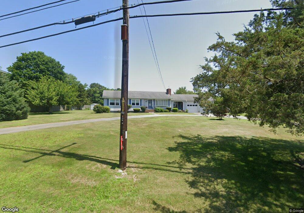
467 Smith Neck Rd South Dartmouth, MA 02748
Cow Yard/Nonquitt NeighborhoodEstimated Value: $614,000 - $798,000
3
Beds
2
Baths
1,491
Sq Ft
$450/Sq Ft
Est. Value
About This Home
This home is located at 467 Smith Neck Rd, South Dartmouth, MA 02748 and is currently estimated at $670,992, approximately $450 per square foot. 467 Smith Neck Rd is a home located in Bristol County with nearby schools including Dartmouth High School.
Ownership History
Date
Name
Owned For
Owner Type
Purchase Details
Closed on
Sep 12, 2022
Sold by
Gifford Kenneth W and Gifford Kathryn G
Bought by
Gifford Ft
Current Estimated Value
Purchase Details
Closed on
Jul 29, 1975
Bought by
Gifford Kenneth W and Gifford Kathryn G
Create a Home Valuation Report for This Property
The Home Valuation Report is an in-depth analysis detailing your home's value as well as a comparison with similar homes in the area
Home Values in the Area
Average Home Value in this Area
Purchase History
| Date | Buyer | Sale Price | Title Company |
|---|---|---|---|
| Gifford Ft | -- | None Available | |
| Gifford Kenneth W | -- | -- |
Source: Public Records
Mortgage History
| Date | Status | Borrower | Loan Amount |
|---|---|---|---|
| Previous Owner | Gifford Kenneth W | $135,000 | |
| Previous Owner | Gifford Kenneth W | $100,000 | |
| Previous Owner | Gifford Kenneth W | $60,000 |
Source: Public Records
Tax History Compared to Growth
Tax History
| Year | Tax Paid | Tax Assessment Tax Assessment Total Assessment is a certain percentage of the fair market value that is determined by local assessors to be the total taxable value of land and additions on the property. | Land | Improvement |
|---|---|---|---|---|
| 2025 | $4,608 | $535,200 | $275,700 | $259,500 |
| 2024 | $4,548 | $523,400 | $275,700 | $247,700 |
| 2023 | $4,584 | $499,900 | $275,700 | $224,200 |
| 2022 | $4,302 | $434,500 | $247,200 | $187,300 |
| 2021 | $4,029 | $388,900 | $212,400 | $176,500 |
| 2020 | $3,956 | $381,100 | $212,400 | $168,700 |
| 2019 | $3,943 | $379,100 | $212,400 | $166,700 |
| 2018 | $3,202 | $347,500 | $199,500 | $148,000 |
| 2017 | $3,764 | $375,600 | $230,100 | $145,500 |
| 2016 | $3,206 | $315,600 | $179,000 | $136,600 |
| 2015 | $3,237 | $319,200 | $180,800 | $138,400 |
| 2014 | $3,328 | $326,000 | $190,500 | $135,500 |
Source: Public Records
Map
Nearby Homes
- 482 Smith Neck Rd
- 105 Rock Odundee Rd
- 24 Eagle Dr
- 24 White Alder Way
- 738 Smith Neck Rd
- 48 N Shore Dr Unit 3&7
- 48 N Shore Dr Unit 8
- 12 Meadow Shores Rd
- Lot 1 Rafael Rd
- 158 Little River Rd
- 62 Hetty Green St Unit 62
- 61 Pardon Hill Rd
- 248 Bakerville Rd
- 23 High St
- 40 School St
- 0 Stoneledge Rd
- 76 Shipyard Ln
- 48 Wilson St
- 00 Prospect St
- Lot 2E Horseneck Rd
- 477 Smith Neck Rd
- 461 Smith Neck Rd
- 2 Bittersweet Ln
- 81 South Ave
- 6 Bittersweet Ln
- 460 Smith Neck Rd
- 83 South Ave
- 453 Smith Neck Rd
- 489 Smith Neck Rd
- 458 Smith Neck Rd
- 9 Bittersweet Ln
- 79 South Ave
- 79 South Ave
- 5 Bittersweet Ln
- 493 Smith Neck Rd
- 447 Smith Neck Rd
- 443 Smith Neck Rd
- 4 Smithfield Place
- 8 Smithfield Place
- 437 Smith Neck Rd