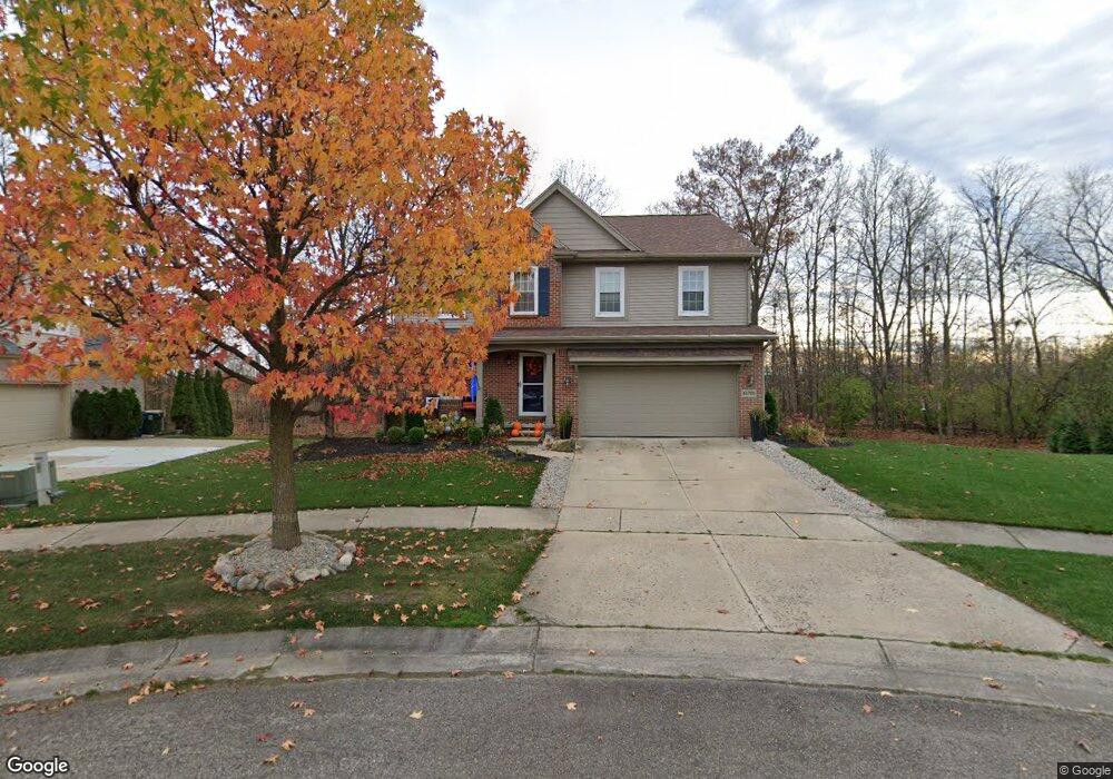
46705 Woodside Dr Unit Bldg-Unit Canton, MI 48187
Estimated Value: $549,865 - $631,000
--
Bed
3
Baths
2,587
Sq Ft
$223/Sq Ft
Est. Value
About This Home
This home is located at 46705 Woodside Dr Unit Bldg-Unit, Canton, MI 48187 and is currently estimated at $576,966, approximately $223 per square foot. 46705 Woodside Dr Unit Bldg-Unit is a home located in Wayne County with nearby schools including Canton High School, Discovery Middle School, and Plymouth High School.
Ownership History
Date
Name
Owned For
Owner Type
Purchase Details
Closed on
May 15, 2023
Sold by
Rahman Ashique
Bought by
Mclnally Todd
Current Estimated Value
Purchase Details
Closed on
Oct 25, 2019
Sold by
Teasdale Todd R and Teasdale Julia
Bought by
Teasdale Todd R and Teasdale Julia
Purchase Details
Closed on
Nov 14, 2014
Sold by
Teasdale Todd R and Teasdale Julia
Bought by
Teasdale Todd R
Purchase Details
Closed on
Mar 28, 2003
Sold by
Centex Homes
Bought by
Teasdale Todd R
Purchase Details
Closed on
Nov 6, 2002
Sold by
Selective Delaware Llc
Bought by
Centex Homes
Create a Home Valuation Report for This Property
The Home Valuation Report is an in-depth analysis detailing your home's value as well as a comparison with similar homes in the area
Home Values in the Area
Average Home Value in this Area
Purchase History
| Date | Buyer | Sale Price | Title Company |
|---|---|---|---|
| Mclnally Todd | $460,000 | None Listed On Document | |
| Teasdale Todd R | $345,000 | None Available | |
| Teasdale Todd R | -- | None Available | |
| Teasdale Todd R | -- | Lawyers Title Ins Corp | |
| Centex Homes | -- | Lawyers Title Ins |
Source: Public Records
Tax History Compared to Growth
Tax History
| Year | Tax Paid | Tax Assessment Tax Assessment Total Assessment is a certain percentage of the fair market value that is determined by local assessors to be the total taxable value of land and additions on the property. | Land | Improvement |
|---|---|---|---|---|
| 2025 | $3,879 | $237,700 | $0 | $0 |
| 2024 | $3,879 | $215,000 | $0 | $0 |
| 2023 | $3,553 | $211,500 | $0 | $0 |
| 2022 | $7,668 | $188,300 | $0 | $0 |
| 2021 | $7,441 | $181,400 | $0 | $0 |
| 2020 | $7,395 | $180,000 | $0 | $0 |
| 2019 | $5,452 | $176,850 | $0 | $0 |
| 2018 | $2,265 | $175,630 | $0 | $0 |
| 2017 | $5,518 | $175,600 | $0 | $0 |
| 2016 | $4,954 | $179,500 | $0 | $0 |
| 2015 | $12,447 | $159,890 | $0 | $0 |
| 2013 | $12,058 | $133,950 | $0 | $0 |
| 2010 | -- | $117,360 | $60,335 | $57,025 |
Source: Public Records
Map
Nearby Homes
- 316 Queen Anne Dr
- 1273 Kennebec
- 685 N Beck Rd
- 46743 Crosswick
- 46676 Grand Oak Ct
- 1300 N Beck Rd
- 45801 Henley Dr
- 46859 Hendrie Ct
- 1525 Peninsula Ct Unit 150
- 1244 W Crystal Cir
- 45814 Aragon Ln
- 45862 S Stonewood Rd Unit 218
- 45678 Aragon Ln
- 1215 Orchid Cir Unit 7
- 45762 S Stonewood Rd
- 45866 S Stonewood Rd
- 45668 S Stonewood Rd
- 48030 Cherry Hill Rd
- 1584 Commodore Cir Unit 33
- 703 Sandalwood Ct
- 46705 Woodside Dr
- 46685 Woodside Dr
- 46723 Woodside Dr Unit 40
- 46677 Woodside Dr
- 46743 Woodside Dr
- 46706 Woodside Dr
- 46647 Woodside Dr
- 46761 Woodside Dr
- 46648 Woodside Dr
- 46630 Woodside Dr
- 46609 Woodside Dr
- 46610 Woodside Dr
- 46781 Woodside Dr
- 46901 Saltz Rd
- 46949 Torrey Hill Ct
- 46949 Torrey Hill Ct
- 46591 Woodside Dr
- 46629 Woodside Dr
- 46551 Woodside Dr
- 46707 Brookridge Dr