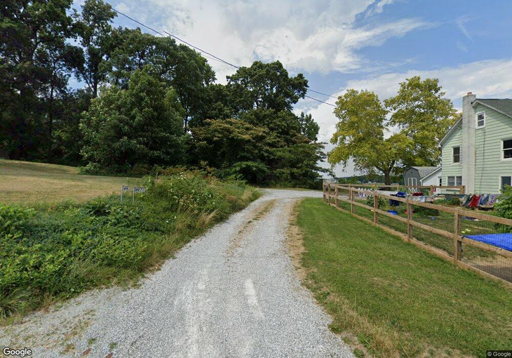
4671 List Rd Red Lion, PA 17356
Estimated Value: $251,000 - $365,000
4
Beds
1
Bath
1,248
Sq Ft
$227/Sq Ft
Est. Value
About This Home
This home is located at 4671 List Rd, Red Lion, PA 17356 and is currently estimated at $283,193, approximately $226 per square foot. 4671 List Rd is a home located in York County with nearby schools including North Hopewell-Winterstown Elementary School, Red Lion Area Junior High School, and Red Lion Area Senior High School.
Ownership History
Date
Name
Owned For
Owner Type
Purchase Details
Closed on
Dec 29, 1998
Sold by
Tyson Dale C and Tyson Joanne M
Bought by
Raffensberger Joseph W and Raffensberger Donna B
Current Estimated Value
Home Financials for this Owner
Home Financials are based on the most recent Mortgage that was taken out on this home.
Original Mortgage
$85,050
Outstanding Balance
$19,863
Interest Rate
6.84%
Estimated Equity
$263,330
Purchase Details
Closed on
Oct 4, 1993
Bought by
Tyson Dale C
Create a Home Valuation Report for This Property
The Home Valuation Report is an in-depth analysis detailing your home's value as well as a comparison with similar homes in the area
Home Values in the Area
Average Home Value in this Area
Purchase History
| Date | Buyer | Sale Price | Title Company |
|---|---|---|---|
| Raffensberger Joseph W | $92,700 | -- | |
| Tyson Dale C | -- | -- |
Source: Public Records
Mortgage History
| Date | Status | Borrower | Loan Amount |
|---|---|---|---|
| Open | Raffensberger Joseph W | $85,050 |
Source: Public Records
Tax History Compared to Growth
Tax History
| Year | Tax Paid | Tax Assessment Tax Assessment Total Assessment is a certain percentage of the fair market value that is determined by local assessors to be the total taxable value of land and additions on the property. | Land | Improvement |
|---|---|---|---|---|
| 2025 | $3,570 | $113,300 | $43,430 | $69,870 |
| 2024 | $3,459 | $113,300 | $43,430 | $69,870 |
| 2023 | $3,459 | $113,300 | $43,430 | $69,870 |
| 2022 | $3,459 | $113,300 | $43,430 | $69,870 |
| 2021 | $3,346 | $113,300 | $43,430 | $69,870 |
| 2020 | $3,346 | $113,300 | $43,430 | $69,870 |
| 2019 | $3,334 | $113,300 | $43,430 | $69,870 |
| 2018 | $3,334 | $113,300 | $43,430 | $69,870 |
| 2017 | $3,334 | $113,300 | $43,430 | $69,870 |
| 2016 | $0 | $113,300 | $43,430 | $69,870 |
| 2015 | -- | $113,300 | $43,430 | $69,870 |
| 2014 | -- | $113,300 | $43,430 | $69,870 |
Source: Public Records
Map
Nearby Homes
- 9353 Camp Rd
- 0 Oak Ridge Ave
- 3456 Seaks Run Rd
- 786 Arbor Dr
- 661 S Duke St
- 600 S Duke St
- 0 Woodland Dr Unit PAYK2084294
- 420 Greenway Dr
- 3263 Graydon Rd
- 305 Husson Rd
- 211 Country Ridge Dr
- 460 Highland Rd
- 12109 Woodland Dr
- 12568 Mount Olivet Rd
- 260 Country Ridge Dr
- 168 Country Ridge Dr
- 156 Country Ridge Dr
- 131 Country Ridge Dr
- 126 Country Ridge Dr
- 131 Country Club Rd
