Estimated Value: $252,232 - $635,000
2
Beds
1
Bath
1,272
Sq Ft
$278/Sq Ft
Est. Value
About This Home
This home is located at 4672 Gorrell Rd, Bland, MO 65014 and is currently estimated at $353,058, approximately $277 per square foot. 4672 Gorrell Rd is a home located in Gasconade County with nearby schools including Belle Elementary School, Maries County Middle School, and Belle High School.
Ownership History
Date
Name
Owned For
Owner Type
Purchase Details
Closed on
Nov 9, 2023
Sold by
Lindsey Leonard J and Lindsey Cindy A
Bought by
Ratliff Levi and Slusser Lilly A
Current Estimated Value
Purchase Details
Closed on
Nov 8, 2018
Sold by
Lindsey Leonard J and Lindsey Cindy A
Bought by
Lindsey Joseph J
Home Financials for this Owner
Home Financials are based on the most recent Mortgage that was taken out on this home.
Original Mortgage
$93,461
Interest Rate
4.9%
Mortgage Type
Purchase Money Mortgage
Create a Home Valuation Report for This Property
The Home Valuation Report is an in-depth analysis detailing your home's value as well as a comparison with similar homes in the area
Purchase History
| Date | Buyer | Sale Price | Title Company |
|---|---|---|---|
| Ratliff Levi | -- | None Listed On Document | |
| Lindsey Joseph J | -- | -- |
Source: Public Records
Mortgage History
| Date | Status | Borrower | Loan Amount |
|---|---|---|---|
| Previous Owner | Lindsey Joseph J | $93,461 |
Source: Public Records
Tax History
| Year | Tax Paid | Tax Assessment Tax Assessment Total Assessment is a certain percentage of the fair market value that is determined by local assessors to be the total taxable value of land and additions on the property. | Land | Improvement |
|---|---|---|---|---|
| 2025 | $440 | $9,300 | $0 | $0 |
| 2024 | $472 | $8,580 | $0 | $0 |
| 2023 | $470 | $9,780 | $0 | $0 |
| 2022 | $470 | $9,780 | $0 | $0 |
| 2021 | $470 | $9,772 | $1,465 | $8,307 |
| 2020 | $441 | $10,390 | $0 | $0 |
| 2019 | $434 | $10,390 | $0 | $0 |
| 2018 | $424 | $10,390 | $0 | $0 |
| 2017 | $491 | $10,270 | $0 | $0 |
| 2016 | $492 | $10,390 | $0 | $0 |
| 2015 | -- | $10,390 | $0 | $0 |
| 2014 | -- | $0 | $0 | $0 |
| 2013 | -- | $0 | $0 | $0 |
Source: Public Records
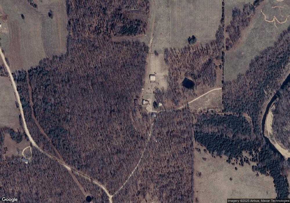
Map
Nearby Homes
- 4738 Gorrell Rd
- 54 ACRES Trainer
- 736 Westbrook Rd
- 0 Oak Forest Rd
- 000 Oak Forest Rd
- 1008 Lois Ln
- 00 Elk Head Rd
- 4621 Elk Head Rd
- 18 ACRES Elk Head Rd
- 30 ACRES Elk Head Rd
- 5975 Jakes Prairie Rd
- 19090 State Route B
- 21606 State Route C
- 15746 Hwy F
- 4050 Highway B
- 66 Highway Cc
- 18763 State Route B
- 0 Rd Unit MIS26009762
- 4203 Highway 19
- 3621 Highway 19
- 4672 Gorrell Rd
- 4672 Gorrell Rd
- 4672 Gorrell Rd
- 4672 Gorrell Rd
- 4672 Gorrell Rd
- 0 Tbd Gorrell Rd - Tract#3 Unit 21056937
- 4674 Gorrell Rd
- 4665 Gorrell Rd
- 0 Tbd Gorrell Rd Tract# 2 Unit 21056933
- 4611 Gorrell Rd
- 3376 Highway P
- 4608 Gorrell Rd
- 4606 Gorrell Rd
- 4600 Red Bird Rd
- 4605 Gorrell Rd
- 1406 Red Bird St
- 1378 Red Bird St
- 1404 Red Bird St
- 1409 Red Bird St
- 1409 Redbird St
Your Personal Tour Guide
Ask me questions while you tour the home.