4673 Upper Denton Rd Weatherford, TX 76085
Estimated Value: $240,139 - $705,000
--
Bed
--
Bath
1,920
Sq Ft
$245/Sq Ft
Est. Value
About This Home
This home is located at 4673 Upper Denton Rd, Weatherford, TX 76085 and is currently estimated at $469,535, approximately $244 per square foot. 4673 Upper Denton Rd is a home with nearby schools including Crockett Elementary School, Tison Middle School, and Weatherford High School.
Ownership History
Date
Name
Owned For
Owner Type
Purchase Details
Closed on
Aug 31, 2003
Sold by
Bryant Dana C and Bryant Bruce O
Bought by
Powell Donald and Powell Regina
Current Estimated Value
Purchase Details
Closed on
Jan 20, 2003
Sold by
Vasquez Brian and Vasquez Gretchen
Bought by
Powell Donald and Powell Regina
Purchase Details
Closed on
Dec 10, 2002
Sold by
Vigil John A and Vigil Ophelia M
Bought by
Powell Donald and Powell Regina
Purchase Details
Closed on
Dec 9, 2002
Sold by
Bryant Dana C and Bryant Bruce O
Bought by
Powell Donald and Powell Regina
Purchase Details
Closed on
Sep 10, 2001
Sold by
Bryant Dana C and Bryant Bruce O
Bought by
Powell Donald and Powell Regina
Purchase Details
Closed on
Mar 31, 2000
Sold by
Bryant Dana C and Bryant Bruce O
Bought by
Powell Donald and Powell Regina
Create a Home Valuation Report for This Property
The Home Valuation Report is an in-depth analysis detailing your home's value as well as a comparison with similar homes in the area
Home Values in the Area
Average Home Value in this Area
Purchase History
| Date | Buyer | Sale Price | Title Company |
|---|---|---|---|
| Powell Donald | -- | -- | |
| Powell Donald | -- | -- | |
| Powell Donald | -- | -- | |
| Powell Donald | -- | -- | |
| Powell Donald | -- | -- | |
| Powell Donald | -- | -- |
Source: Public Records
Tax History Compared to Growth
Tax History
| Year | Tax Paid | Tax Assessment Tax Assessment Total Assessment is a certain percentage of the fair market value that is determined by local assessors to be the total taxable value of land and additions on the property. | Land | Improvement |
|---|---|---|---|---|
| 2025 | $670 | $141,957 | $141,957 | -- |
| 2024 | $670 | $129,052 | $129,052 | -- |
| 2023 | $670 | $117,320 | $117,320 | $0 |
| 2022 | $1,986 | $145,420 | $145,420 | $0 |
| 2021 | $1,953 | $145,420 | $145,420 | $0 |
| 2020 | $1,788 | $114,490 | $114,490 | $0 |
| 2019 | $1,734 | $114,490 | $114,490 | $0 |
| 2018 | $1,585 | $72,850 | $72,850 | $0 |
| 2017 | $1,617 | $72,850 | $72,850 | $0 |
| 2016 | $3,395 | $152,950 | $72,850 | $80,100 |
| 2015 | $1,512 | $86,290 | $72,850 | $13,440 |
| 2014 | $1,636 | $86,840 | $72,850 | $13,990 |
Source: Public Records
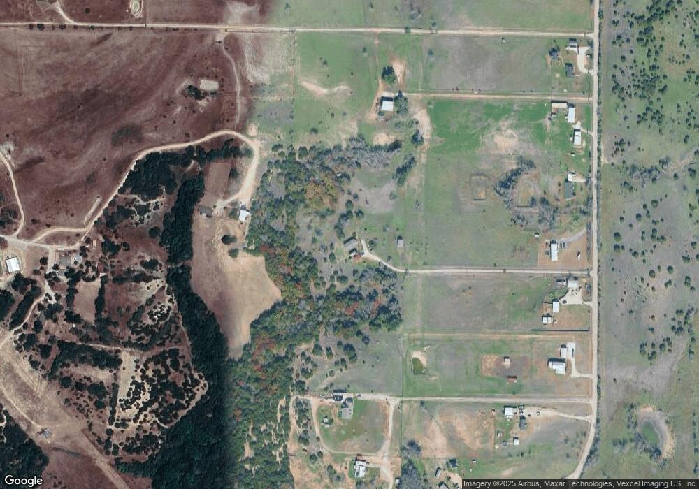
Map
Nearby Homes
- 2065 Preserve Trail
- 4895 Upper Denton Rd
- 0 R000118724 Unit 20846338
- 748 Rocky Ridge Ln
- 5350 Upper Denton Rd
- 152 Katy Ranch Dr
- 1357 Friendship Rd
- 209 Timber Valley Ct
- TBD Lot 42 Blk 2 Timber Valley Ln
- TBD Lot 43 Blk 2 Timber Valley Ln
- TBD Lots 42 & 43 Bl Timber Valley Ln
- 1009 Sabrina Ct
- 1000 Rays Way
- 2000 Collin St
- 505 Aermotor Loop
- 181 Fan Mill Trail
- 197 Fan Mill Trail
- 109 Perdue Ln
- 5885-A Old Springtown Rd
- 5885-B Old Springtown Rd
- 4615 Upper Denton Rd
- .... Grant Alan Ct
- 4691 Upper Denton Rd
- 4659 Upper Denton Rd
- 4603 Upper Denton Rd
- 4725 Upper Denton Rd
- 4629 Upper Denton Rd
- 4575 Upper Denton Rd
- Lot 6 Flagstone Dr
- Lot 1 Flagstone Dr
- Lot 10 Flagstone Dr
- Lot 3 Boulder Rd
- Lot 5 Flagstone Dr
- Lot 15 Flagstone Dr
- Lot 1 Boulder Rd
- 4739 Upper Denton Rd
- 142 Cedar Rd
- TBD Deer Butte St
- TBD Carter Hills Ln
- 4801 Upper Denton Rd