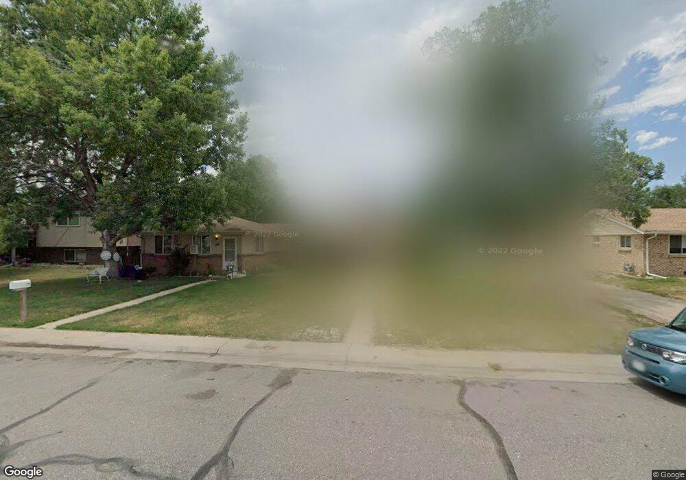
4675 Simms St Wheat Ridge, CO 80033
Fruitdale NeighborhoodEstimated Value: $584,000 - $623,000
4
Beds
2
Baths
1,576
Sq Ft
$384/Sq Ft
Est. Value
About This Home
This home is located at 4675 Simms St, Wheat Ridge, CO 80033 and is currently estimated at $604,977, approximately $383 per square foot. 4675 Simms St is a home located in Jefferson County with nearby schools including Prospect Valley Elementary School, Everitt Middle School, and Wheat Ridge High School.
Ownership History
Date
Name
Owned For
Owner Type
Purchase Details
Closed on
Jan 15, 2021
Sold by
Luethy Philip E
Bought by
Dean John M and Sundby Steve P
Current Estimated Value
Purchase Details
Closed on
Jun 17, 2002
Sold by
Beard William
Bought by
Luethy Philip E
Create a Home Valuation Report for This Property
The Home Valuation Report is an in-depth analysis detailing your home's value as well as a comparison with similar homes in the area
Home Values in the Area
Average Home Value in this Area
Purchase History
| Date | Buyer | Sale Price | Title Company |
|---|---|---|---|
| Dean John M | $375,000 | Land Title Guarantee Co | |
| Luethy Philip E | $260,000 | -- |
Source: Public Records
Tax History
| Year | Tax Paid | Tax Assessment Tax Assessment Total Assessment is a certain percentage of the fair market value that is determined by local assessors to be the total taxable value of land and additions on the property. | Land | Improvement |
|---|---|---|---|---|
| 2024 | $3,643 | $39,666 | $24,398 | $15,268 |
| 2023 | $3,643 | $39,666 | $24,398 | $15,268 |
| 2022 | $2,788 | $30,061 | $15,487 | $14,574 |
| 2021 | $2,894 | $31,608 | $16,284 | $15,324 |
| 2020 | $2,509 | $27,429 | $13,725 | $13,704 |
| 2019 | $2,474 | $27,429 | $13,725 | $13,704 |
| 2018 | $2,251 | $24,250 | $8,230 | $16,020 |
| 2017 | $2,051 | $24,250 | $8,230 | $16,020 |
| 2016 | $1,811 | $20,031 | $7,367 | $12,664 |
| 2015 | $1,578 | $20,031 | $7,367 | $12,664 |
| 2014 | $1,578 | $16,401 | $5,846 | $10,555 |
Source: Public Records
Map
Nearby Homes
- 11772 W 45th Place
- 11691 W 45th Place
- 11719 W 45th Place
- 4615 Quail St
- 4695 Parfet St
- 4303 Quail St Unit 8A
- 12323 Ridge Rd
- 11890 W 52nd Ave
- 11590 W 39th Place
- 5188 Rob Way
- 5182 Rob Way
- 12340 W 51st Ave
- 5192 Rob Way
- 5218 Routt St Unit A
- 5240 Routt Ct Unit B
- 5181 Vivian St
- 3935 Pierson St
- 12336 W 52nd Ave
- 5358 Routt St Unit B
- 3815 Quail Ct
Your Personal Tour Guide
Ask me questions while you tour the home.