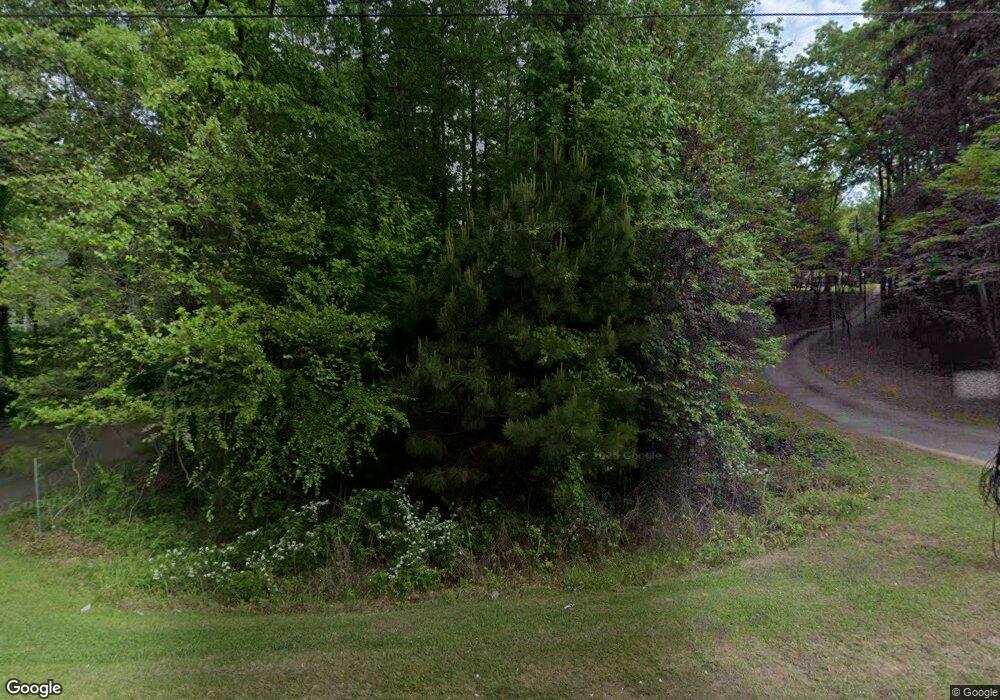
4675 W Price Rd Sugar Hill, GA 30518
Estimated Value: $431,929 - $520,000
3
Beds
2
Baths
1,368
Sq Ft
$338/Sq Ft
Est. Value
About This Home
This home is located at 4675 W Price Rd, Sugar Hill, GA 30518 and is currently estimated at $461,982, approximately $337 per square foot. 4675 W Price Rd is a home located in Gwinnett County with nearby schools including Roberts Elementary School, North Gwinnett Middle School, and North Gwinnett High School.
Ownership History
Date
Name
Owned For
Owner Type
Purchase Details
Closed on
Aug 13, 2025
Sold by
Prentice Debbie A
Bought by
Prentice D Trust and Prentice Debbie Aeen
Current Estimated Value
Purchase Details
Closed on
Feb 15, 1999
Sold by
Prentice Jay H
Bought by
Prentice M J M and Prentice Debbie A
Home Financials for this Owner
Home Financials are based on the most recent Mortgage that was taken out on this home.
Original Mortgage
$62,448
Interest Rate
6.73%
Mortgage Type
FHA
Create a Home Valuation Report for This Property
The Home Valuation Report is an in-depth analysis detailing your home's value as well as a comparison with similar homes in the area
Home Values in the Area
Average Home Value in this Area
Purchase History
| Date | Buyer | Sale Price | Title Company |
|---|---|---|---|
| Prentice D Trust | -- | -- | |
| Prentice M J M | -- | -- |
Source: Public Records
Mortgage History
| Date | Status | Borrower | Loan Amount |
|---|---|---|---|
| Previous Owner | Prentice M J M | $62,448 |
Source: Public Records
Tax History Compared to Growth
Tax History
| Year | Tax Paid | Tax Assessment Tax Assessment Total Assessment is a certain percentage of the fair market value that is determined by local assessors to be the total taxable value of land and additions on the property. | Land | Improvement |
|---|---|---|---|---|
| 2025 | $369 | $115,080 | $36,320 | $78,760 |
| 2024 | $1,308 | $115,080 | $36,320 | $78,760 |
| 2023 | $1,308 | $115,080 | $36,320 | $78,760 |
| 2022 | $1,227 | $88,040 | $20,240 | $67,800 |
| 2021 | $1,230 | $88,040 | $20,240 | $67,800 |
| 2020 | $3,536 | $88,040 | $20,240 | $67,800 |
| 2019 | $2,786 | $71,680 | $16,640 | $55,040 |
| 2018 | $2,796 | $71,680 | $16,640 | $55,040 |
| 2016 | $2,793 | $71,680 | $16,640 | $55,040 |
| 2015 | $2,826 | $71,680 | $16,640 | $55,040 |
| 2014 | $2,121 | $53,280 | $19,440 | $33,840 |
Source: Public Records
Map
Nearby Homes
- 425 Chandler Ct
- 4570 Deep Creek Dr
- 280 Chandler Ct
- 4651 Deep Creek Dr NE
- 159 Level Creek Rd
- 503 Glen Level Cir
- 5177 Cabot Creek Dr
- 314 Level Creek Rd
- 4920 Puritan Dr Unit 1
- 434 Level Creek Rd
- 5047 Sara Creek Way Unit 2
- 4405 Donahue Ave
- 502 Level Creek Rd
- 5055 Puritan Dr
- 4920 Markim Forest Ln
- 504 Level Creek Rd
- 5040 Puritan Dr
- 4719 Terquay Ct
- 4683 W Price Rd
- 4695 W Price Rd
- 0 W Price Rd Unit 20153952
- 0 W Price Rd Unit 7291166
- 0 W Price Rd Unit 20067253
- 0 W Price Rd Unit 7100779
- 0 W Price Rd Unit 7390282
- 0 W Price Rd Unit 7616643
- 0 W Price Rd Unit 3136874
- 0 W Price Rd Unit 7172106
- 0 W Price Rd Unit 8428202
- 0 W Price Rd Unit 6910884
- 0 W Price Rd Unit 9017092
- 0 W Price Rd Unit 3134875
- 0 W Price Rd Unit 3136575
- W W Price Rd Unit 7
- 0 W Price Rd
- W W Price Rd
- 4685 W Price Rd
- 4684 W Price Rd
