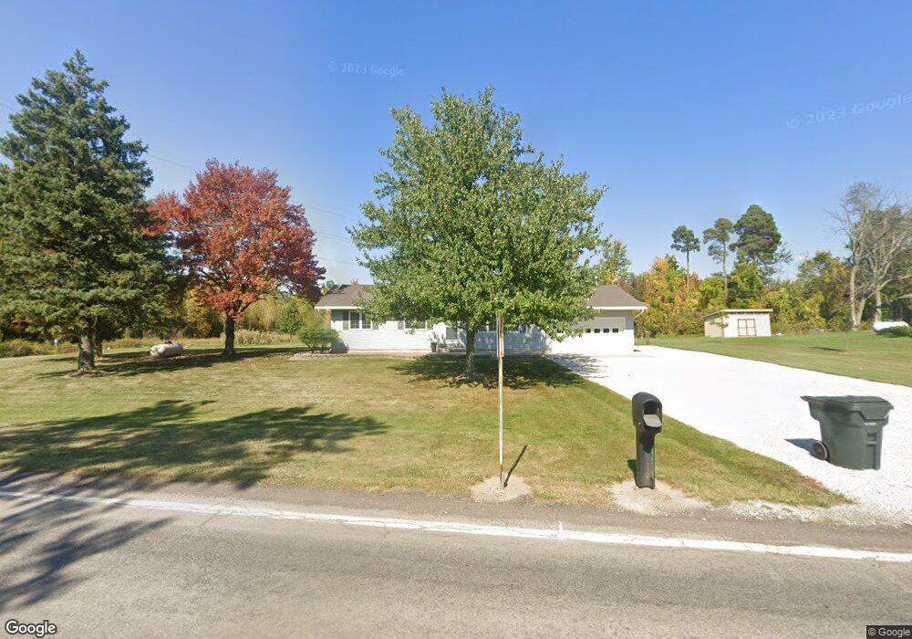
4676 State Route 181 Crestline, OH 44827
Estimated Value: $156,000 - $220,000
3
Beds
2
Baths
1,176
Sq Ft
$166/Sq Ft
Est. Value
About This Home
This home is located at 4676 State Route 181, Crestline, OH 44827 and is currently estimated at $195,303, approximately $166 per square foot. 4676 State Route 181 is a home located in Richland County with nearby schools including Stingel Elementary School, Ontario Middle School, and Ontario High School.
Ownership History
Date
Name
Owned For
Owner Type
Purchase Details
Closed on
Jun 22, 2010
Sold by
Pore Jessica A
Bought by
Pore Ii Chris A
Current Estimated Value
Home Financials for this Owner
Home Financials are based on the most recent Mortgage that was taken out on this home.
Original Mortgage
$3,000
Outstanding Balance
$1,004
Interest Rate
4.77%
Mortgage Type
Stand Alone Second
Estimated Equity
$194,299
Purchase Details
Closed on
Oct 18, 2001
Sold by
Fleiner George F
Bought by
Pore Christopher A
Home Financials for this Owner
Home Financials are based on the most recent Mortgage that was taken out on this home.
Original Mortgage
$101,650
Interest Rate
6.92%
Mortgage Type
New Conventional
Create a Home Valuation Report for This Property
The Home Valuation Report is an in-depth analysis detailing your home's value as well as a comparison with similar homes in the area
Home Values in the Area
Average Home Value in this Area
Purchase History
| Date | Buyer | Sale Price | Title Company |
|---|---|---|---|
| Pore Ii Chris A | -- | None Available | |
| Pore Christopher A | $107,000 | -- |
Source: Public Records
Mortgage History
| Date | Status | Borrower | Loan Amount |
|---|---|---|---|
| Open | Pore Ii Chris A | $3,000 | |
| Open | Pore Ii Chris A | $93,600 | |
| Previous Owner | Pore Christopher A | $101,650 |
Source: Public Records
Tax History
| Year | Tax Paid | Tax Assessment Tax Assessment Total Assessment is a certain percentage of the fair market value that is determined by local assessors to be the total taxable value of land and additions on the property. | Land | Improvement |
|---|---|---|---|---|
| 2024 | $2,112 | $43,360 | $8,200 | $35,160 |
| 2023 | $2,161 | $43,360 | $8,200 | $35,160 |
| 2022 | $2,000 | $34,540 | $7,460 | $27,080 |
| 2021 | $2,004 | $34,540 | $7,460 | $27,080 |
| 2020 | $2,139 | $34,540 | $7,460 | $27,080 |
| 2019 | $2,003 | $29,270 | $6,320 | $22,950 |
| 2018 | $1,700 | $29,270 | $6,320 | $22,950 |
| 2017 | $1,673 | $29,270 | $6,320 | $22,950 |
| 2016 | $1,689 | $29,360 | $6,130 | $23,230 |
| 2015 | $1,687 | $29,360 | $6,130 | $23,230 |
| 2014 | $1,690 | $29,360 | $6,130 | $23,230 |
| 2012 | $792 | $30,260 | $6,320 | $23,940 |
Source: Public Records
Map
Nearby Homes
- 4822 Flowers Rd
- 4051 State Route Ave W
- 5263 Lincoln Hwy
- 3880 Horizon Dr
- 3872 Snodgrass Rd
- 5446 Lincoln Hwy
- 0 Rudy Rd
- 1260 Thrush Rd
- 8 Lexington Ontario Rd
- 15 Lexington Ontario Rd
- 715 Cedar Mill Dr
- 847 S Horning Rd
- 1689 Ohio 314
- 3458 Ridgestone Dr
- 3516 Muirfield
- 3516 Muirfield Dr
- 763 County Line Rd Unit Lot 109
- 763 County Line Rd Unit Lot 50
- 763 County Line Rd Unit Lot 103
- 763 County Line Rd Unit Lot 44
- 4666 State Route 181
- 4685 State Route 181
- 4664 State Route 181
- 4734 Ohio 181
- 4734 State Route 181
- 4653 State Route 181
- 4660 State Route 181
- 4737 State Route 181
- 4655 State Route 181
- 4655 Ohio 181
- 4639 State Route 181
- 4743 State Route 181
- 4629 State Route 181
- 645 Eckstein Rd
- 701 Eckstein Rd
- 4809 State Route 181
- 4841 State Route 181
- 676 Eckstein Rd
- 4565 State Route 181
- 749 Eckstein Rd
Your Personal Tour Guide
Ask me questions while you tour the home.