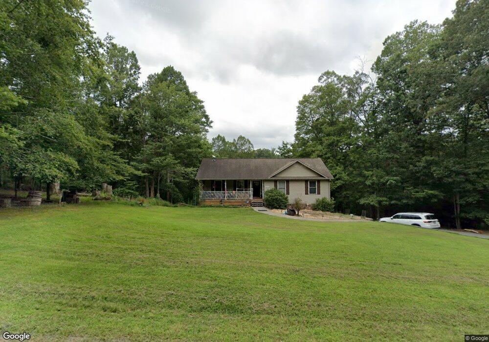
4677 Brookridge Rd Roanoke, VA 24014
Estimated Value: $309,000 - $343,000
3
Beds
3
Baths
1,892
Sq Ft
$170/Sq Ft
Est. Value
About This Home
This home is located at 4677 Brookridge Rd, Roanoke, VA 24014 and is currently estimated at $322,436, approximately $170 per square foot. 4677 Brookridge Rd is a home located in Roanoke County with nearby schools including Mt. Pleasant Elementary School, William Byrd Middle School, and William Byrd High School.
Ownership History
Date
Name
Owned For
Owner Type
Purchase Details
Closed on
Aug 7, 2015
Sold by
Anderson Harold D and Anderson Ruth L
Bought by
Bandy Christopher and Bandy Jessica Epperly
Current Estimated Value
Home Financials for this Owner
Home Financials are based on the most recent Mortgage that was taken out on this home.
Original Mortgage
$152,775
Outstanding Balance
$120,157
Interest Rate
4.03%
Mortgage Type
New Conventional
Estimated Equity
$202,279
Create a Home Valuation Report for This Property
The Home Valuation Report is an in-depth analysis detailing your home's value as well as a comparison with similar homes in the area
Home Values in the Area
Average Home Value in this Area
Purchase History
| Date | Buyer | Sale Price | Title Company |
|---|---|---|---|
| Bandy Christopher | $157,500 | None Available |
Source: Public Records
Mortgage History
| Date | Status | Borrower | Loan Amount |
|---|---|---|---|
| Open | Bandy Christopher | $152,775 |
Source: Public Records
Tax History Compared to Growth
Tax History
| Year | Tax Paid | Tax Assessment Tax Assessment Total Assessment is a certain percentage of the fair market value that is determined by local assessors to be the total taxable value of land and additions on the property. | Land | Improvement |
|---|---|---|---|---|
| 2025 | $2,668 | $259,000 | $37,000 | $222,000 |
| 2024 | $2,515 | $241,800 | $37,000 | $204,800 |
| 2023 | $2,385 | $225,000 | $35,000 | $190,000 |
| 2022 | $2,286 | $209,700 | $35,000 | $174,700 |
| 2021 | $2,024 | $185,700 | $29,000 | $156,700 |
| 2020 | $1,938 | $177,800 | $29,000 | $148,800 |
| 2019 | $1,922 | $176,300 | $29,000 | $147,300 |
| 2018 | $1,803 | $173,200 | $29,000 | $144,200 |
| 2017 | $1,803 | $165,400 | $29,000 | $136,400 |
| 2016 | $1,803 | $165,400 | $29,000 | $136,400 |
| 2015 | $1,802 | $165,300 | $29,000 | $136,300 |
| 2014 | $1,862 | $170,800 | $28,000 | $142,800 |
Source: Public Records
Map
Nearby Homes
- 4070 Pitzer Rd
- Lot 26 Palmetto Bluff Rd
- 3878 Ballyhack Trail
- 3888 Ballyhack Trail
- 3864 Ballyhack Trail
- 3846 Ballyhack Trail
- 3889 Ballyhack Trail
- 5225 Pitzer Rd
- 3836 Ballyhack Trail
- 3561 Rutrough Rd SE
- 3891 Saul Ln
- 3885 Saul Ln
- 3879 Saul Ln
- 0 Coopers Cove Rd
- 3849 Saul Ln
- 3855 Saul Ln
- 533 Coopers Cove Rd
- 3764 Ballyhack Trail
- 3754 Ballyhack Trail
- 3734 Ballyhack Trail
- 4685 Brookridge Rd
- 4669 Brookridge Rd
- 4693 Brookridge Rd
- 4631 Brookridge Rd
- 0 Brookridge Rd
- 4601 Brookridge Rd
- 4557 Brookridge Rd
- 4700 Brookridge Rd
- 4513 Brookridge Rd
- 4699 Brookridge Rd
- 4670 Brookridge Rd
- 4765 Brookridge Rd
- 4474 Brookridge Rd
- 4453 Brookridge Rd
- 4447 Brookridge Rd
- 4493 Brookridge Rd
- 4740 Brookridge Rd
- 4467 Brookridge Rd
- 4429 Brookridge Rd
- 4475 Brookridge Rd