4677 Lanier Rd Asheboro, NC 27205
Estimated Value: $464,000 - $720,937
--
Bed
2
Baths
2,226
Sq Ft
$273/Sq Ft
Est. Value
About This Home
This home is located at 4677 Lanier Rd, Asheboro, NC 27205 and is currently estimated at $608,312, approximately $273 per square foot. 4677 Lanier Rd is a home located in Randolph County with nearby schools including Sycamore Elementary School, Seagrove Elementary School, and Southwestern Randolph Middle School.
Ownership History
Date
Name
Owned For
Owner Type
Purchase Details
Closed on
Aug 1, 2025
Sold by
Parks Henry Rebecca
Bought by
Henry David Parks and Jones Henry Angelica
Current Estimated Value
Purchase Details
Closed on
Aug 6, 2024
Sold by
Mary Edythe M Parks Trust and Henry Rebecca P
Bought by
Parks Henry Rebecca
Purchase Details
Closed on
Jul 13, 2010
Sold by
Parks Leonard D and Parks Mary Edythe M
Bought by
Parks Leonard D and Leonard D Parks Trust
Create a Home Valuation Report for This Property
The Home Valuation Report is an in-depth analysis detailing your home's value as well as a comparison with similar homes in the area
Home Values in the Area
Average Home Value in this Area
Purchase History
| Date | Buyer | Sale Price | Title Company |
|---|---|---|---|
| Henry David Parks | -- | None Listed On Document | |
| Parks Henry David | -- | None Listed On Document | |
| Parks Henry Rebecca | -- | None Listed On Document | |
| Parks Leonard D | -- | None Available |
Source: Public Records
Tax History Compared to Growth
Tax History
| Year | Tax Paid | Tax Assessment Tax Assessment Total Assessment is a certain percentage of the fair market value that is determined by local assessors to be the total taxable value of land and additions on the property. | Land | Improvement |
|---|---|---|---|---|
| 2025 | $3,621 | $583,970 | $378,770 | $205,200 |
| 2024 | $3,621 | $583,970 | $378,770 | $205,200 |
| 2023 | $3,621 | $583,970 | $378,770 | $205,200 |
| 2022 | $3,873 | $514,510 | $368,770 | $145,740 |
| 2021 | $3,873 | $514,510 | $368,770 | $145,740 |
| 2020 | $3,718 | $514,510 | $368,770 | $145,740 |
| 2019 | $3,718 | $514,510 | $368,770 | $145,740 |
| 2018 | $3,568 | $480,560 | $331,890 | $148,670 |
| 2016 | $3,472 | $480,561 | $331,890 | $148,671 |
| 2015 | $3,484 | $480,561 | $331,890 | $148,671 |
| 2014 | -- | $480,561 | $331,890 | $148,671 |
Source: Public Records
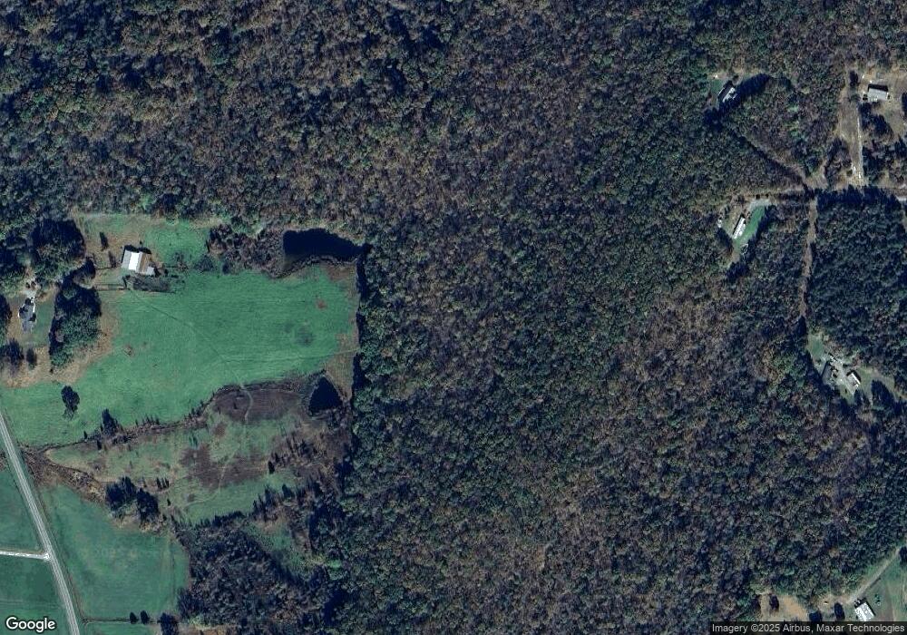
Map
Nearby Homes
- 00 High Pine Church Rd
- 5364 Pisgah Covered Bridge Rd
- 5500 Pisgah Covered Bridge Rd
- 7355 Pisgah Covered Bridge Rd
- 2484 Burney Rd
- 4026 Oak Tree Rd
- 6517 Mount Lebanon Rd
- 4240 Nc Highway 134
- 7039 Abner Rd
- 2500 Westgate Rd
- 1522 Hopewell Friends Rd
- Lot 24 Maple Hill Ct
- 001 High Meadow Dr
- 2565 High Meadow Dr
- 2613 High Meadow Dr
- Lot 13 Johns Ridge Dr
- Lot 12 Johns Ridge Dr
- 0 Fox Ridge Rd Unit 1197775
- Lot 37 Fox Ridge Rd
- 3162 Montclair Ct
- 4829 High Pine Church Rd
- 4776 Lanier Rd
- 4849 Lanier Rd
- 4847 Lanier Rd
- 4966 High Pine Church Rd
- 4889 Lanier Rd
- 2524 Mountain View Rd
- 4576 High Pine Church Rd
- 4929 Lanier Rd
- 4940 Lanier Rd
- 4514 Ridgeback Rd
- 4605 High Pine Church Rd
- 4552 High Pine Church Rd
- 5042 High Pine Church Rd
- 2512 Mountain View Rd
- 4575 Ridgeback Rd
- 4443 High Pine Church Rd
- 2461 Mountain View Rd
- 2451 Mountain View Rd
- 2446 Mountain View Rd