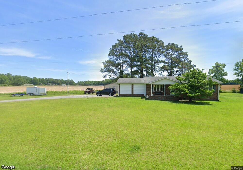
4677 Wheat Swamp Rd La Grange, NC 28551
Estimated Value: $155,371 - $260,000
3
Beds
2
Baths
1,251
Sq Ft
$160/Sq Ft
Est. Value
About This Home
This home is located at 4677 Wheat Swamp Rd, La Grange, NC 28551 and is currently estimated at $199,843, approximately $159 per square foot. 4677 Wheat Swamp Rd is a home located in Lenoir County with nearby schools including La Grange Elementary School, E.B. Frink Middle School, and North Lenoir High School.
Ownership History
Date
Name
Owned For
Owner Type
Purchase Details
Closed on
Apr 29, 2014
Sold by
Beamon Tommy Chester and Beamon Katherine S
Bought by
Crumbacker Richard Tate and Crumbacker Barbara Ann
Current Estimated Value
Home Financials for this Owner
Home Financials are based on the most recent Mortgage that was taken out on this home.
Original Mortgage
$82,350
Outstanding Balance
$61,181
Interest Rate
3.75%
Mortgage Type
Adjustable Rate Mortgage/ARM
Estimated Equity
$138,662
Create a Home Valuation Report for This Property
The Home Valuation Report is an in-depth analysis detailing your home's value as well as a comparison with similar homes in the area
Home Values in the Area
Average Home Value in this Area
Purchase History
| Date | Buyer | Sale Price | Title Company |
|---|---|---|---|
| Crumbacker Richard Tate | $91,500 | None Available |
Source: Public Records
Mortgage History
| Date | Status | Borrower | Loan Amount |
|---|---|---|---|
| Open | Crumbacker Richard Tate | $82,350 |
Source: Public Records
Tax History Compared to Growth
Tax History
| Year | Tax Paid | Tax Assessment Tax Assessment Total Assessment is a certain percentage of the fair market value that is determined by local assessors to be the total taxable value of land and additions on the property. | Land | Improvement |
|---|---|---|---|---|
| 2025 | $1,255 | $156,856 | $21,203 | $135,653 |
| 2024 | $928 | $89,060 | $15,232 | $73,828 |
| 2023 | $496 | $89,060 | $15,232 | $73,828 |
| 2022 | $496 | $89,060 | $15,232 | $73,828 |
| 2021 | $495 | $89,060 | $15,232 | $73,828 |
| 2020 | $892 | $89,060 | $15,232 | $73,828 |
| 2019 | $894 | $89,060 | $15,232 | $73,828 |
| 2018 | $880 | $89,060 | $15,232 | $73,828 |
| 2017 | $879 | $89,060 | $15,232 | $73,828 |
| 2014 | $898 | $92,505 | $15,232 | $77,273 |
| 2013 | -- | $92,505 | $15,232 | $77,273 |
| 2011 | -- | $92,505 | $15,232 | $77,273 |
Source: Public Records
Map
Nearby Homes
- 0 Fred Harrison Rd Unit LotWP001
- 4310 Colie Rd
- 3494 Danfield Dr
- 84 Hardy Dr
- 315 Glenfield Rd
- 3395 Danfield Dr
- 3379 Danfield Dr
- 3803 Huntcliff Dr
- 764 Jesse Hill Rd
- 3711 Drew Farmer Rd
- 3766 Huntcliff Dr
- 3725 Huntcliff Dr
- 3696 Drew Farmer Rd
- 3740 Huntcliff Dr
- 3684 Drew Farmer Rd
- 3730 Huntcliff Dr
- 2526 Moulton Dr
- 3100 Wheat Swamp Rd
- 2321 Fred Everett Rd
- 3821 Lindsey Ln
- 4647 Wheat Swamp Rd
- 4731 Wheat Swamp Rd
- 2615 Browntown Rd
- 2619 Browntown Rd
- 2565 Browntown Rd
- 2563 Browntown Rd
- 2656 Byrd Rd
- 4800 Wheat Swamp Rd
- 2674 Byrd Rd
- 2696 Byrd Rd
- 2418 Browntown Rd
- 2394 Browntown Rd
- 4880 Wheat Swamp Rd
- 2316 Browntown Rd
- 2298 Browntown Rd
- 2749 Byrd Rd
- 2280 Browntown Rd
- 4905 Wheat Swamp Rd
- 4942 Wheat Swamp Rd
- 2174 Browntown Rd