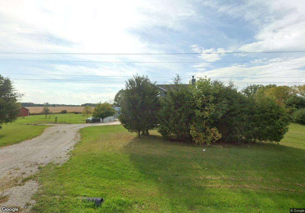
4678 State Route 61 Mount Gilead, OH 43338
Estimated Value: $447,000 - $531,684
3
Beds
3
Baths
2,128
Sq Ft
$226/Sq Ft
Est. Value
About This Home
This home is located at 4678 State Route 61, Mount Gilead, OH 43338 and is currently estimated at $480,921, approximately $225 per square foot. 4678 State Route 61 is a home with nearby schools including Park Avenue Elementary School, Mt Gilead Middle School, and Mt Gilead High School.
Ownership History
Date
Name
Owned For
Owner Type
Purchase Details
Closed on
Jul 5, 2018
Sold by
Lower Ricky J and Lower Jan M
Bought by
Lower Jesse and Lower Bridget
Current Estimated Value
Purchase Details
Closed on
Sep 18, 2001
Bought by
Lower Rick J & Jan M
Purchase Details
Closed on
Sep 11, 1997
Sold by
Walsh James T
Bought by
Seycheles Ltd
Create a Home Valuation Report for This Property
The Home Valuation Report is an in-depth analysis detailing your home's value as well as a comparison with similar homes in the area
Home Values in the Area
Average Home Value in this Area
Purchase History
| Date | Buyer | Sale Price | Title Company |
|---|---|---|---|
| Lower Jesse | $7,500 | -- | |
| Lower Rick J & Jan M | $21,200 | -- | |
| Seycheles Ltd | $32,000 | -- |
Source: Public Records
Tax History Compared to Growth
Tax History
| Year | Tax Paid | Tax Assessment Tax Assessment Total Assessment is a certain percentage of the fair market value that is determined by local assessors to be the total taxable value of land and additions on the property. | Land | Improvement |
|---|---|---|---|---|
| 2024 | $5,356 | $130,560 | $19,360 | $111,200 |
| 2023 | $5,356 | $130,560 | $19,360 | $111,200 |
| 2022 | $4,533 | $99,470 | $11,970 | $87,500 |
| 2021 | $4,293 | $99,470 | $11,970 | $87,500 |
| 2020 | $4,295 | $99,470 | $11,970 | $87,500 |
| 2019 | $2,997 | $68,710 | $10,050 | $58,660 |
| 2018 | $282 | $6,580 | $6,580 | $0 |
| 2017 | $282 | $6,580 | $6,580 | $0 |
| 2016 | $221 | $5,150 | $5,150 | $0 |
| 2015 | $207 | $5,150 | $5,150 | $0 |
| 2014 | $210 | $5,150 | $5,150 | $0 |
| 2013 | $211 | $5,430 | $5,430 | $0 |
Source: Public Records
Map
Nearby Homes
- 0 Township Road 110 Unit 6131011
- 4350 Township Road 110
- 5171 U S 42
- 5098 County Road 237
- 4449 County Road 114
- 250 S Main St
- 4719 Twp 115 Rd
- 4014 State Route 61
- 5280 Township Road 103
- 69 N Cherry St
- 236 W High St
- 251 Lincoln Ave
- 264 W High St
- 186 Iberia St
- 362 W High St
- 0 Iberia St
- 357 N Delaware St
- 0 Tamarack Unit 223034150
- 3845 Township Road 26
- 0 Lee St
- 4644 State Route 61
- 4677 State Route 61
- 4689 State Route 61
- 3958 Township Road 110
- 3958 Township Road 110
- 3965 Township Road 110
- 4603 State Route 61
- 4695 State Route 61
- 4706 State Route 61
- 3955 Township Road 110
- 3947 Township Road 110
- 3926 Township Road 110
- 3935 Township Road 110
- 3908 Township Road 110
- 4550 State Route 61
- 4054 Township Road 110
- 0 Township 111 Rd Unit 3.24 223003915
- 4530 State Route 61
- 4739 Township Road 111
- 4107 Township Road 111