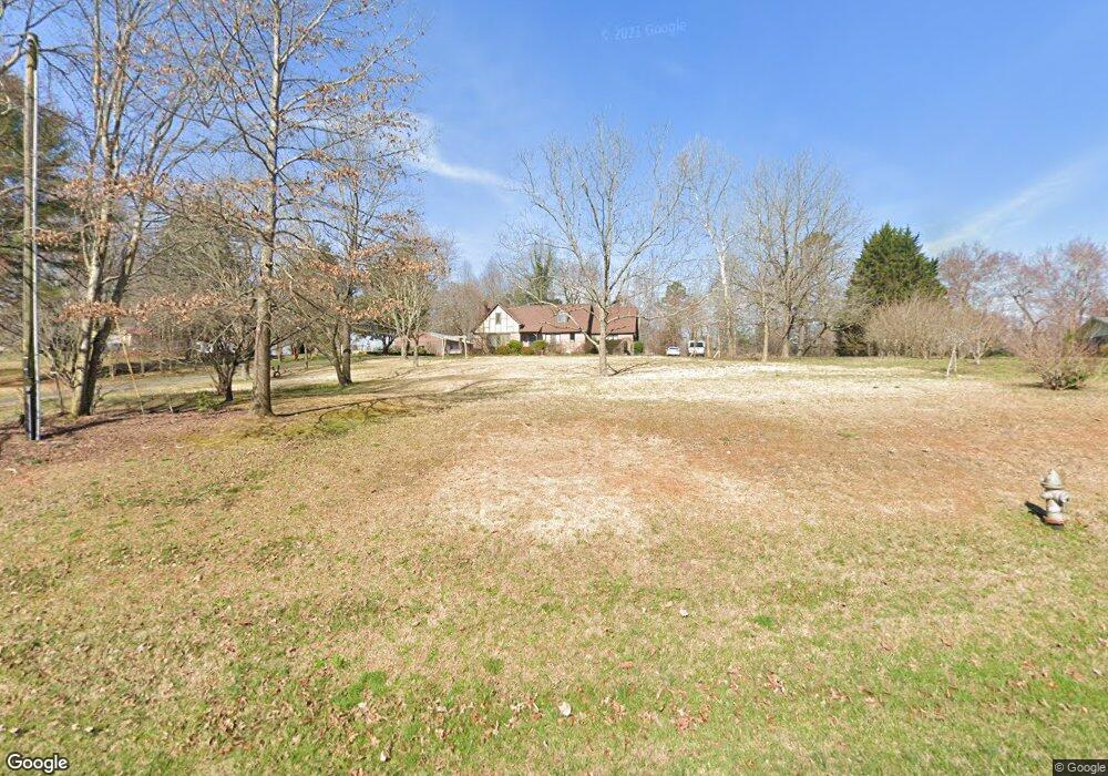
4679 Camp Creek Rd Mount Airy, GA 30563
Estimated Value: $247,000 - $458,000
3
Beds
3
Baths
2,138
Sq Ft
$170/Sq Ft
Est. Value
About This Home
This home is located at 4679 Camp Creek Rd, Mount Airy, GA 30563 and is currently estimated at $364,139, approximately $170 per square foot. 4679 Camp Creek Rd is a home located in Habersham County with nearby schools including Hazel Grove Elementary School, Habersham Success Academy, and North Habersham Middle School.
Ownership History
Date
Name
Owned For
Owner Type
Purchase Details
Closed on
Jun 9, 2011
Sold by
Hise Ken
Bought by
Hise Kenneth B
Current Estimated Value
Home Financials for this Owner
Home Financials are based on the most recent Mortgage that was taken out on this home.
Original Mortgage
$201,495
Outstanding Balance
$144,437
Interest Rate
5.5%
Mortgage Type
FHA
Estimated Equity
$219,702
Create a Home Valuation Report for This Property
The Home Valuation Report is an in-depth analysis detailing your home's value as well as a comparison with similar homes in the area
Home Values in the Area
Average Home Value in this Area
Purchase History
| Date | Buyer | Sale Price | Title Company |
|---|---|---|---|
| Hise Kenneth B | -- | -- |
Source: Public Records
Mortgage History
| Date | Status | Borrower | Loan Amount |
|---|---|---|---|
| Open | Hise Kenneth B | $201,495 |
Source: Public Records
Tax History Compared to Growth
Tax History
| Year | Tax Paid | Tax Assessment Tax Assessment Total Assessment is a certain percentage of the fair market value that is determined by local assessors to be the total taxable value of land and additions on the property. | Land | Improvement |
|---|---|---|---|---|
| 2025 | $1,817 | $110,526 | $23,437 | $87,089 |
| 2024 | -- | $111,500 | $20,864 | $90,636 |
| 2023 | $1,477 | $96,340 | $20,864 | $75,476 |
| 2022 | $1,831 | $84,384 | $20,864 | $63,520 |
| 2021 | $1,765 | $78,272 | $20,864 | $57,408 |
| 2020 | $1,560 | $59,924 | $10,432 | $49,492 |
| 2019 | $1,562 | $59,924 | $10,432 | $49,492 |
| 2018 | $1,550 | $59,924 | $10,432 | $49,492 |
| 2017 | $1,448 | $55,864 | $10,432 | $45,432 |
| 2016 | $1,405 | $139,660 | $10,432 | $45,432 |
| 2015 | $1,388 | $139,660 | $10,432 | $45,432 |
| 2014 | $1,390 | $137,370 | $10,432 | $44,516 |
| 2013 | -- | $54,948 | $10,432 | $44,516 |
Source: Public Records
Map
Nearby Homes
- 144 Rolling Ridge Rd
- 309 Morning Star Ln
- 278 Oakwood Place
- 0 N Highway 365 Unit 10006830
- 2240 Hazel Creek Rd
- 209 Hazel Creek Rd
- 1605 Cody Rd
- 110 Waterloo Dr
- 199 Rocky Shoals Trail
- 787 Ansley Rd
- 120 Beck Rd
- 0 Gladston Rd
- 268 Northwoods Dr
- 161 Wayward Winds Dr
- 222 N Mize Rd
- 676 Sweetgrass Dr
- 204 Linwood Dr
- 799 Sweetgrass Dr
- 339 Ben Loudermilk Rd
- 136 Sweetgrass Dr
- 4729 Camp Creek Rd
- 0 Camp Creek Rd Unit 2965313
- 0 Camp Creek Rd Unit 3002319
- 0 Camp Creek Rd Unit 7112059
- 0 Camp Creek Rd Unit 7256302
- 0 Camp Creek Rd Unit 3185738
- 0 Camp Creek Rd Unit 8212633
- 0 Camp Creek Rd Unit 7507057
- 00 Camp Creek Rd
- 0 Camp Creek Rd Unit 8126705
- 0 Camp Creek Rd Unit 4246538
- 0 Camp Creek Rd Unit 4245962
- 0 Camp Creek Rd Unit 20092237
- 0 Camp Creek Rd Unit 8043630
- 0 Camp Creek Rd Unit 8969057
- 0 Camp Creek Rd Unit 8853230
- 0 Camp Creek Rd Unit 8896370
- 0 Camp Creek Rd Unit 8841471
- 0 Camp Creek Rd Unit 8940710
- 0 Camp Creek Rd Unit 7027479