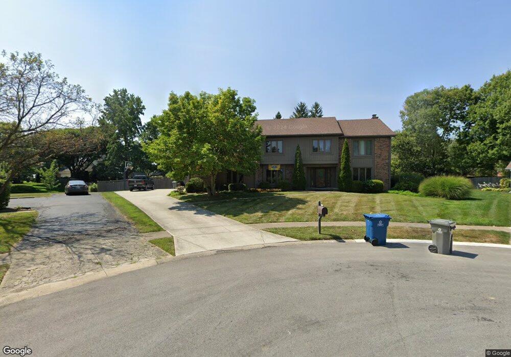
4679 Hazelwood Cir Carmel, IN 46033
East Carmel NeighborhoodEstimated Value: $555,000 - $600,313
4
Beds
4
Baths
2,804
Sq Ft
$205/Sq Ft
Est. Value
About This Home
This home is located at 4679 Hazelwood Cir, Carmel, IN 46033 and is currently estimated at $574,078, approximately $204 per square foot. 4679 Hazelwood Cir is a home located in Hamilton County with nearby schools including Mohawk Trails Elementary School, Clay Middle School, and Carmel High School.
Ownership History
Date
Name
Owned For
Owner Type
Purchase Details
Closed on
Apr 4, 2018
Bought by
Kai-Hueng Wang
Current Estimated Value
Home Financials for this Owner
Home Financials are based on the most recent Mortgage that was taken out on this home.
Original Mortgage
$294,100
Outstanding Balance
$252,862
Interest Rate
4.43%
Mortgage Type
New Conventional
Estimated Equity
$321,216
Purchase Details
Closed on
Jun 30, 2011
Sold by
Cai Yuping and Cai Xiaoxu R
Bought by
Nelsen Holly D
Create a Home Valuation Report for This Property
The Home Valuation Report is an in-depth analysis detailing your home's value as well as a comparison with similar homes in the area
Home Values in the Area
Average Home Value in this Area
Purchase History
| Date | Buyer | Sale Price | Title Company |
|---|---|---|---|
| Kai-Hueng Wang | $346,000 | -- | |
| Wang Kai Hueng | $346,000 | First American Title | |
| Nelsen Holly D | $165,500 | None Available |
Source: Public Records
Mortgage History
| Date | Status | Borrower | Loan Amount |
|---|---|---|---|
| Open | Wang Kai Hueng | $294,100 |
Source: Public Records
Tax History Compared to Growth
Tax History
| Year | Tax Paid | Tax Assessment Tax Assessment Total Assessment is a certain percentage of the fair market value that is determined by local assessors to be the total taxable value of land and additions on the property. | Land | Improvement |
|---|---|---|---|---|
| 2024 | $5,667 | $507,200 | $128,200 | $379,000 |
| 2023 | $5,667 | $511,000 | $86,200 | $424,800 |
| 2022 | $4,145 | $427,700 | $86,200 | $341,500 |
| 2021 | $4,145 | $361,400 | $86,200 | $275,200 |
| 2020 | $3,782 | $328,400 | $86,200 | $242,200 |
| 2019 | $3,749 | $327,800 | $62,000 | $265,800 |
| 2018 | $3,597 | $320,000 | $62,000 | $258,000 |
| 2017 | $5,343 | $317,700 | $62,000 | $255,700 |
| 2016 | $3,222 | $290,700 | $62,000 | $228,700 |
| 2014 | $3,250 | $296,900 | $57,000 | $239,900 |
| 2013 | $3,250 | $296,700 | $57,000 | $239,700 |
Source: Public Records
Map
Nearby Homes
- 13233 Hazelwood Dr
- 4655 Allen Dr
- 13082 Andover Dr
- 1983 Woodbine Ct
- 4443 E Main St
- 4952 Jennings Dr
- 4966 Riley Mews
- 4950 Tudor Place
- 128 1st Ct
- 12901 Harrison Dr
- 651 Hawthorne Dr
- 12705 Brookshire Pkwy
- 1346 Smokey Row Ln
- 781 Dayton Dr
- 1910 Spruce Dr
- 12669 Brookshire Pkwy
- 1816 Spruce Dr
- 5059 Morton Place
- 5072 Pelican Place
- 1483 Spruce Dr
- 4689 Hazelwood Cir
- 4678 Hazelwood Cir
- 13215 Brookshire Pkwy
- 4674 Cheval Place
- 4684 Cheval Place
- 13187 Brookshire Pkwy
- 4697 Hazelwood Cir
- 4690 Hazelwood Cir
- 13221 Brookshire Pkwy
- 4690 Cheval Place
- 4700 Hazelwood Cir
- 4708 Cheval Place
- 4681 Briarwood Trace
- 4709 Hazelwood Cir
- 4681 Briarwood Trace
- 4695 Briarwood Trace
- 13200 Brookshire Pkwy
- 13218 Brookshire Pkwy
- 4667 Briarwood Trace
- 4677 Cheval Place