468 Boone Rd Quincy, MI 49082
Estimated Value: $85,788 - $156,000
3
Beds
1
Bath
980
Sq Ft
$129/Sq Ft
Est. Value
About This Home
This home is located at 468 Boone Rd, Quincy, MI 49082 and is currently estimated at $126,697, approximately $129 per square foot. 468 Boone Rd is a home located in Branch County with nearby schools including Jennings Elementary School, Quincy Middle School, and Quincy High School.
Ownership History
Date
Name
Owned For
Owner Type
Purchase Details
Closed on
Nov 10, 2010
Sold by
Cnb Lending Services Llc
Bought by
Delcamp Mark L and Delcamp Deborah K
Current Estimated Value
Purchase Details
Closed on
Jul 22, 2010
Sold by
King William H
Bought by
Cnb Lending Services Llc
Purchase Details
Closed on
May 24, 1995
Sold by
Lawrence Jeffery
Bought by
King William and King Constance
Create a Home Valuation Report for This Property
The Home Valuation Report is an in-depth analysis detailing your home's value as well as a comparison with similar homes in the area
Purchase History
| Date | Buyer | Sale Price | Title Company |
|---|---|---|---|
| Delcamp Mark L | $12,000 | Michigan Bankers Title Of Mi | |
| Cnb Lending Services Llc | $13,587 | None Available | |
| King William | $30,000 | -- |
Source: Public Records
Tax History
| Year | Tax Paid | Tax Assessment Tax Assessment Total Assessment is a certain percentage of the fair market value that is determined by local assessors to be the total taxable value of land and additions on the property. | Land | Improvement |
|---|---|---|---|---|
| 2025 | $675 | $29,856 | $0 | $0 |
| 2024 | $2 | $29,278 | $0 | $0 |
| 2023 | $223 | $26,430 | $0 | $0 |
| 2022 | $223 | $22,576 | $0 | $0 |
| 2020 | -- | $22,365 | $0 | $0 |
| 2019 | -- | $21,202 | $0 | $0 |
| 2018 | -- | $22,033 | $0 | $0 |
| 2017 | -- | $21,620 | $0 | $0 |
| 2016 | -- | $13,330 | $0 | $0 |
| 2015 | -- | $16,349 | $0 | $0 |
| 2014 | -- | $15,553 | $0 | $0 |
| 2013 | -- | $5,793 | $0 | $0 |
Source: Public Records
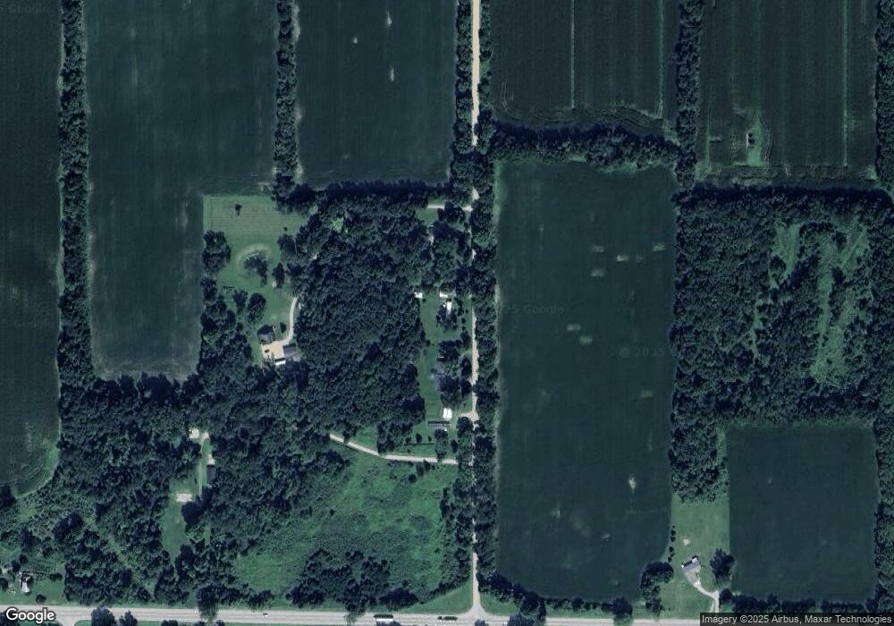
Map
Nearby Homes
- 1085 E Chicago Rd
- 1085 E Chicago Rd Unit B
- 1085 E Chicago Rd Unit A
- 14 Cole St
- 29 Broughton St
- 8 Hunting Trail Ave
- 46 W Chicago St
- 0 Wildwood Rd
- 493 Richard St
- 1056 Brookwood Dr
- 9180 Arkansaw Rd
- 981 Generic Dr
- 201 Wildwood Beach Rd
- 1233 Robinson Rd
- 944 Lukesport Rd
- 1247 Coplin Rd
- 345 N Fremont Rd
- 808 Rolling Meadows Dr
- 732 Cambridge Dr
- 8941 Kellogg Dr
Your Personal Tour Guide
Ask me questions while you tour the home.