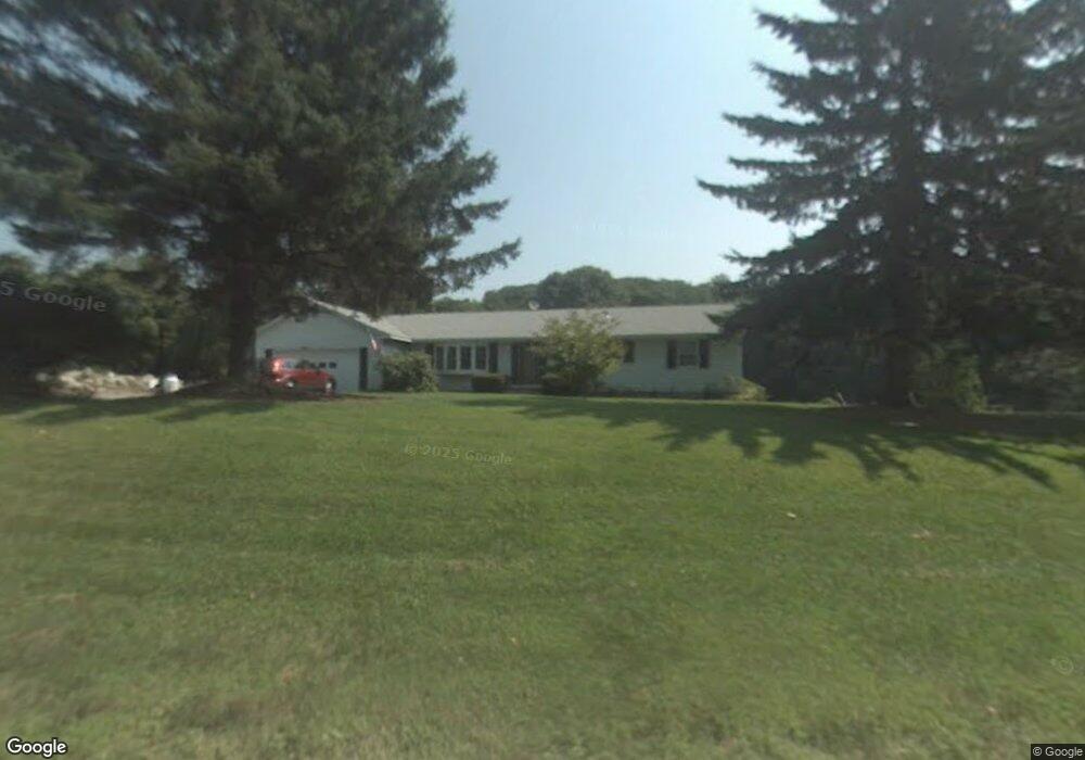
468 Cornwall Bridge Rd Sharon, CT 06069
Estimated Value: $518,078 - $687,000
3
Beds
2
Baths
1,644
Sq Ft
$379/Sq Ft
Est. Value
About This Home
This home is located at 468 Cornwall Bridge Rd, Sharon, CT 06069 and is currently estimated at $622,359, approximately $378 per square foot. 468 Cornwall Bridge Rd is a home located in Litchfield County with nearby schools including Housatonic Valley Regional High School.
Ownership History
Date
Name
Owned For
Owner Type
Purchase Details
Closed on
Dec 15, 2020
Sold by
Prindle Brent N and Prindle Barbara B
Bought by
Prindle-Grillo Wendy I and Hanlon Deborah L
Current Estimated Value
Purchase Details
Closed on
Mar 25, 1982
Bought by
Prindle Brent N and Prindle Barbara B
Create a Home Valuation Report for This Property
The Home Valuation Report is an in-depth analysis detailing your home's value as well as a comparison with similar homes in the area
Home Values in the Area
Average Home Value in this Area
Purchase History
| Date | Buyer | Sale Price | Title Company |
|---|---|---|---|
| Prindle-Grillo Wendy I | -- | None Available | |
| Prindle-Grillo Wendy I | -- | None Available | |
| Prindle Brent N | -- | -- |
Source: Public Records
Mortgage History
| Date | Status | Borrower | Loan Amount |
|---|---|---|---|
| Previous Owner | Prindle Brent N | $88,000 | |
| Previous Owner | Prindle Brent N | $110,000 |
Source: Public Records
Tax History
| Year | Tax Paid | Tax Assessment Tax Assessment Total Assessment is a certain percentage of the fair market value that is determined by local assessors to be the total taxable value of land and additions on the property. | Land | Improvement |
|---|---|---|---|---|
| 2025 | $3,488 | $312,800 | $115,600 | $197,200 |
| 2024 | $3,300 | $312,800 | $115,600 | $197,200 |
| 2023 | $2,758 | $191,500 | $90,700 | $100,800 |
| 2022 | $2,758 | $191,500 | $90,700 | $100,800 |
| 2021 | $2,777 | $191,500 | $90,700 | $100,800 |
| 2020 | $2,758 | $191,500 | $90,700 | $100,800 |
| 2019 | $2,758 | $191,500 | $90,700 | $100,800 |
| 2018 | $2,869 | $195,200 | $114,000 | $81,200 |
| 2017 | $2,869 | $195,200 | $114,000 | $81,200 |
| 2016 | $2,811 | $195,200 | $114,000 | $81,200 |
| 2015 | $2,674 | $195,200 | $114,000 | $81,200 |
| 2014 | $2,586 | $195,200 | $114,000 | $81,200 |
Source: Public Records
Map
Nearby Homes
- 25 Bowne Rd
- 70 Kent Rd S
- 3 W Mountain Rd
- 130 Sharon Mountain Rd
- 76 Fairchild Rd
- 45 Herrick Rd
- 0 W Woods Rd Unit 2
- 143 Whitcomb Hill Rd
- 1 W Woods Rd
- 50 Jewett Hill Rd
- 331 Calkinstown Rd
- 30 Knibloe Hill Rd
- 1 Great Elm Dr
- 59 Cornwall Bridge Rd
- 2 Great Elm Rd
- 0 Railroad St
- 0 Cornwall Bridge Rd Unit 170559925
- 16 Upper Main St
- 221 Fuller Mountain Rd
- 79 Hilltop Rd
- 474 Cornwall Bridge Rd
- 480 Cornwall Bridge Rd
- 174 Westwoods Road 2
- 174 Westwoods Rd
- 478 Cornwall Bridge Rd
- 461 Cornwall Bridge Rd
- 461 Cornwall Bridge Rd
- 482 Cornwall Bridge Rd
- 173 Westwoods Road 2
- 460 Cornwall Bridge Rd
- 6 Kings Hill Rd
- 19 Dunbar Rd
- 14 Kings Hill Rd
- 1 Cemetery Rd
- 479 Cornwall Bridge Rd
- Lot Cemetery Rd
- 13 Dunbar Rd
- 0 Cemetery Rd
- 47 Caroline Dr
- 22 Kings Hill Rd
Your Personal Tour Guide
Ask me questions while you tour the home.