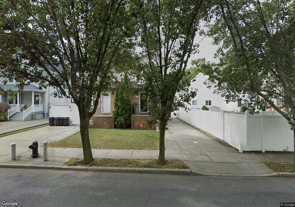
468 Giffords Ln Staten Island, NY 10308
Great Kills NeighborhoodEstimated Value: $625,000 - $746,000
3
Beds
3
Baths
1,920
Sq Ft
$359/Sq Ft
Est. Value
About This Home
This home is located at 468 Giffords Ln, Staten Island, NY 10308 and is currently estimated at $689,077, approximately $358 per square foot. 468 Giffords Ln is a home located in Richmond County with nearby schools including P.S. 32 The Gifford School, I.S. 075 Frank D. Paulo, and Susan E Wagner High School.
Ownership History
Date
Name
Owned For
Owner Type
Purchase Details
Closed on
Jul 28, 2003
Sold by
Maple Development Corp
Bought by
White Richard A and White Lucille
Current Estimated Value
Home Financials for this Owner
Home Financials are based on the most recent Mortgage that was taken out on this home.
Original Mortgage
$239,900
Interest Rate
6.01%
Mortgage Type
Purchase Money Mortgage
Create a Home Valuation Report for This Property
The Home Valuation Report is an in-depth analysis detailing your home's value as well as a comparison with similar homes in the area
Home Values in the Area
Average Home Value in this Area
Purchase History
| Date | Buyer | Sale Price | Title Company |
|---|---|---|---|
| White Richard A | $299,900 | Commonwealth Land Title Ins |
Source: Public Records
Mortgage History
| Date | Status | Borrower | Loan Amount |
|---|---|---|---|
| Previous Owner | White Richard A | $239,900 |
Source: Public Records
Tax History Compared to Growth
Tax History
| Year | Tax Paid | Tax Assessment Tax Assessment Total Assessment is a certain percentage of the fair market value that is determined by local assessors to be the total taxable value of land and additions on the property. | Land | Improvement |
|---|---|---|---|---|
| 2025 | $3,804 | $40,020 | $5,937 | $34,083 |
| 2024 | $3,908 | $39,060 | $5,739 | $33,321 |
| 2023 | $3,746 | $30,985 | $5,720 | $25,265 |
| 2022 | $2,631 | $33,000 | $6,900 | $26,100 |
| 2021 | $2,773 | $33,060 | $6,900 | $26,160 |
| 2020 | $2,741 | $29,460 | $6,900 | $22,560 |
| 2019 | $2,539 | $30,420 | $6,900 | $23,520 |
| 2018 | $4,966 | $25,821 | $6,212 | $19,609 |
| 2017 | $4,666 | $24,360 | $6,900 | $17,460 |
| 2016 | $4,757 | $25,347 | $6,747 | $18,600 |
| 2015 | $4,024 | $23,913 | $5,090 | $18,823 |
| 2014 | $4,024 | $22,560 | $5,760 | $16,800 |
Source: Public Records
Map
Nearby Homes
- 87 Pemberton Ave
- 132 Elkhart St
- 420 Arthur Kill Rd
- 466 Doane Ave
- 72 Eric Ln
- 12 Lexington Ln
- 62 Daleham St
- 414 Elverton Ave
- 379 Brookfield Ave
- 12 Troy St
- 38 Troy St
- 40 Troy St
- 350 Brookfield Ave
- 52 Barlow Ave
- 259 Brookfield Ave
- 160 Tanglewood Dr
- 339 Abingdon Ave
- 305 Corbin Ave
- 47 Jumel St
- 4 Country Woods Ln
- 466 Giffords Ln
- 450 Arthur Kill Rd
- 448 Arthur Kill Rd
- 452 Arthur Kill Rd
- 454 Arthur Kill Rd
- 460 Giffords Ln
- 456 Arthur Kill Rd
- 458 Arthur Kill Rd
- 146 Daleham St
- 460 Arthur Kill Rd Unit 470
- 460-470 Arthur Kill Rd
- 450 Giffords Ln
- 149 Elkhart St
- 140 Daleham St
- 464 Arthur Kill Rd Unit Basement
- 464 Arthur Kill Rd Unit 1
- 464 Arthur Kill Rd
- 141 Elkhart St
- 17 Dorit Ct
- 15 Dorit Ct