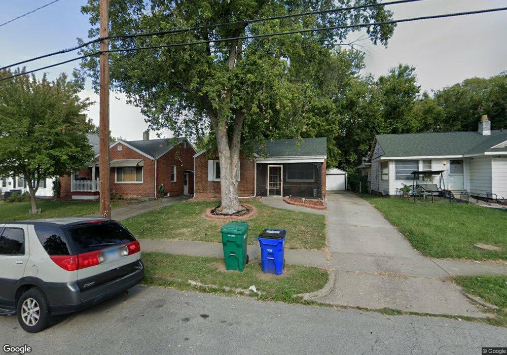
468 S Monroe St Decatur, IL 62522
Near West NeighborhoodEstimated Value: $52,000 - $97,280
2
Beds
1
Bath
1,650
Sq Ft
$45/Sq Ft
Est. Value
About This Home
This home is located at 468 S Monroe St, Decatur, IL 62522 and is currently estimated at $74,070, approximately $44 per square foot. 468 S Monroe St is a home located in Macon County with nearby schools including Dennis Lab School, St. Patrick School, and Teen Challenge-Home For Girls.
Ownership History
Date
Name
Owned For
Owner Type
Purchase Details
Closed on
Sep 27, 2010
Sold by
Atkins Lillian A and Kinnison Lillian A
Bought by
Townes Kevin
Current Estimated Value
Home Financials for this Owner
Home Financials are based on the most recent Mortgage that was taken out on this home.
Original Mortgage
$45,967
Outstanding Balance
$30,349
Interest Rate
4.36%
Mortgage Type
VA
Estimated Equity
$43,721
Purchase Details
Closed on
Sep 1, 2003
Create a Home Valuation Report for This Property
The Home Valuation Report is an in-depth analysis detailing your home's value as well as a comparison with similar homes in the area
Home Values in the Area
Average Home Value in this Area
Purchase History
| Date | Buyer | Sale Price | Title Company |
|---|---|---|---|
| Townes Kevin | $45,000 | None Available | |
| -- | $37,900 | -- |
Source: Public Records
Mortgage History
| Date | Status | Borrower | Loan Amount |
|---|---|---|---|
| Open | Townes Kevin | $45,967 |
Source: Public Records
Tax History Compared to Growth
Tax History
| Year | Tax Paid | Tax Assessment Tax Assessment Total Assessment is a certain percentage of the fair market value that is determined by local assessors to be the total taxable value of land and additions on the property. | Land | Improvement |
|---|---|---|---|---|
| 2024 | $844 | $14,721 | $2,628 | $12,093 |
| 2023 | $816 | $14,200 | $2,535 | $11,665 |
| 2022 | $730 | $13,140 | $2,346 | $10,794 |
| 2021 | $202 | $12,272 | $2,191 | $10,081 |
| 2020 | $202 | $11,702 | $2,089 | $9,613 |
| 2019 | $202 | $11,702 | $2,089 | $9,613 |
| 2018 | $725 | $10,617 | $1,253 | $9,364 |
| 2017 | $199 | $10,900 | $1,286 | $9,614 |
| 2016 | $729 | $11,011 | $1,299 | $9,712 |
| 2015 | $705 | $10,816 | $1,276 | $9,540 |
| 2014 | $661 | $10,709 | $1,263 | $9,446 |
| 2013 | $658 | $11,111 | $1,310 | $9,801 |
Source: Public Records
Map
Nearby Homes
- 617 W Decatur St
- 628 W Forest Ave
- 437 Powers Ln
- 441 S Seigel St
- 612 W Macon St
- 530 Powers Ln
- 450 W Macon St
- 440 W Macon St
- 657 W Wood St
- 580 Powers Ln
- 650 S Crea St
- 717 W Prairie Ave Unit 2
- 899 W Main St
- 320 W Main St
- 452 W Prairie Ave
- 442 W Prairie Ave
- 281 W Prairie Ave
- 609 W William St
- 233 N Edward St
- 366 W Prairie Ave
- 454 S Monroe St
- 480 S Monroe St
- 442 S Monroe St
- 463 S Monroe St
- 465 S Monroe St
- 473 S Monroe St
- 453 S Ewing Ave
- 434 S Monroe St
- 459 S Ewing Ave
- 495 S Monroe St
- 487 S Ewing Ave
- 437 S Monroe St
- 459 S Monroe St
- 422 S Monroe St
- 616 W Forest Ave
- 441 S Ewing Ave
- 447 S Ewing Ave
- 563 W Decatur St
- 414 S Monroe St
- 634 W Forest Ave