J
Seller's Agent in 2013
JO ANN GEER
Summit Sotheby's Int'l Rlty (Auto Mall)
(435) 619-3399
163 Total Sales
Estimated Value: $505,000 - $625,000
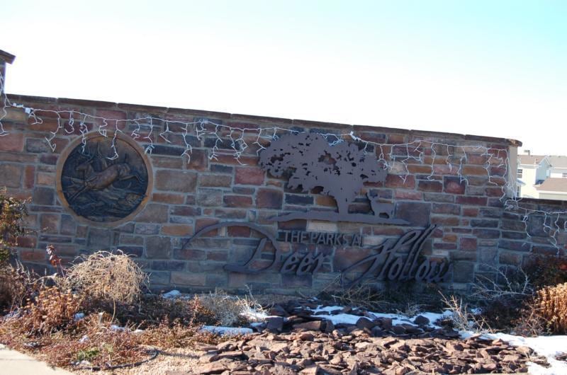
The Parks at Deer Hollow offers winding streets, vintage street signs, 7 planned parks, with more than 30 acres of green space and a 6 acre lake. Great place to build your dream home. Amazing views of the surrounding mountain areas. Homeowners Association is not currently established.
Last Agent to Sell the Property
Summit Sotheby's Int'l Rlty (Auto Mall) License #294953-BB00 Listed on: 01/30/2013

Co-Listed By
MONA NIES
Coldwell Banker Advantage
Last Buyer's Agent
Mona Nies
Stratum Real Estate Group PLLC (Cedar) License #5487673SA00
| Date | Buyer | Sale Price | Title Company |
|---|---|---|---|
| Brady Aaron E | $553,280 | Security Escrow & Title | |
| Douglas Spencer W | -- | None Available | |
| Douglas Spencer Wood | -- | Mountain View Ttl Cedar City |
| Date | Status | Borrower | Loan Amount |
|---|---|---|---|
| Open | Brady Aaron E | $416,000 | |
| Previous Owner | Douglas Spencer Wood | $240,000 |
| Date | Event | Price | Change | Sq Ft Price |
|---|---|---|---|---|
| 07/19/2013 07/19/13 | Sold | -- | -- | -- |
| 03/21/2013 03/21/13 | Pending | -- | -- | -- |
| 01/29/2013 01/29/13 | For Sale | $22,000 | -- | -- |
| Year | Tax Paid | Tax Assessment Tax Assessment Total Assessment is a certain percentage of the fair market value that is determined by local assessors to be the total taxable value of land and additions on the property. | Land | Improvement |
|---|---|---|---|---|
| 2025 | $2,071 | $265,695 | $48,454 | $217,241 |
| 2023 | $2,219 | $338,290 | $42,135 | $296,155 |
| 2022 | $2,323 | $259,670 | $31,860 | $227,810 |
| 2021 | $1,865 | $208,495 | $18,585 | $189,910 |
| 2020 | $1,760 | $174,210 | $16,860 | $157,350 |
| 2019 | $1,743 | $165,420 | $15,550 | $149,870 |
| 2018 | $1,612 | $149,465 | $15,550 | $133,915 |
| 2017 | $1,609 | $149,465 | $15,550 | $133,915 |
| 2016 | $1,634 | $136,950 | $13,405 | $123,545 |
| 2015 | $1,712 | $136,950 | $0 | $0 |
| 2014 | $889 | $67,075 | $0 | $0 |
J
Seller's Agent in 2013
JO ANN GEER
Summit Sotheby's Int'l Rlty (Auto Mall)
(435) 619-3399
163 Total Sales
M
Seller Co-Listing Agent in 2013
MONA NIES
Coldwell Banker Advantage
A
Buyer Co-Listing Agent in 2013
AMY FLANIGAN
Coldwell Banker Advantage
Source: Iron County Board of REALTORS®
MLS Number: 63587
APN: D-1219-0035-0000