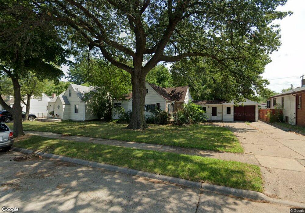
4683 Westpoint St Dearborn Heights, MI 48125
Estimated Value: $165,000 - $203,424
2
Beds
1
Bath
1,316
Sq Ft
$144/Sq Ft
Est. Value
About This Home
This home is located at 4683 Westpoint St, Dearborn Heights, MI 48125 and is currently estimated at $189,356, approximately $143 per square foot. 4683 Westpoint St is a home located in Wayne County with nearby schools including Polk Elementary School, Bedford School, and Pardee School.
Ownership History
Date
Name
Owned For
Owner Type
Purchase Details
Closed on
Jan 17, 2025
Sold by
Araiza Alejandro
Bought by
Valencia-Garcia Mario and Mondragon Janett Mora
Current Estimated Value
Purchase Details
Closed on
Apr 13, 2019
Sold by
Smith Valerie Marie
Bought by
Araiza Perez Alejandro
Purchase Details
Closed on
Mar 26, 2008
Sold by
Keil Corey and Hernandez Inez
Bought by
Deutsche Bank Trust Co Americas and Equifirst Mortgage Loan Trust 2005-1
Purchase Details
Closed on
Jul 21, 2000
Sold by
Peterson Helen R
Bought by
Hernandez Inez
Create a Home Valuation Report for This Property
The Home Valuation Report is an in-depth analysis detailing your home's value as well as a comparison with similar homes in the area
Home Values in the Area
Average Home Value in this Area
Purchase History
| Date | Buyer | Sale Price | Title Company |
|---|---|---|---|
| Valencia-Garcia Mario | $120,000 | None Listed On Document | |
| Valencia-Garcia Mario | $120,000 | None Listed On Document | |
| Araiza Perez Alejandro | $35,000 | None Available | |
| Deutsche Bank Trust Co Americas | $91,375 | None Available | |
| Hernandez Inez | $119,500 | -- |
Source: Public Records
Tax History Compared to Growth
Tax History
| Year | Tax Paid | Tax Assessment Tax Assessment Total Assessment is a certain percentage of the fair market value that is determined by local assessors to be the total taxable value of land and additions on the property. | Land | Improvement |
|---|---|---|---|---|
| 2025 | $3,324 | $100,500 | $0 | $0 |
| 2024 | $3,324 | $88,900 | $0 | $0 |
| 2023 | $3,699 | $76,300 | $0 | $0 |
| 2022 | $4,227 | $66,800 | $0 | $0 |
| 2021 | $4,199 | $60,700 | $0 | $0 |
| 2019 | $2,146 | $49,600 | $0 | $0 |
| 2018 | $1,498 | $41,300 | $0 | $0 |
| 2017 | $1,204 | $38,100 | $0 | $0 |
| 2016 | $2,430 | $36,300 | $0 | $0 |
| 2015 | $3,363 | $33,700 | $0 | $0 |
| 2013 | $3,480 | $36,000 | $0 | $0 |
| 2010 | -- | $42,300 | $0 | $0 |
Source: Public Records
Map
Nearby Homes
- 4901 Cornell St
- 4665 Syracuse St
- 4489 Westpoint St
- 4506 Syracuse St
- 4474 Syracuse St
- 24117 Eton Ave
- 4193 Cornell St
- 24035 Currier St
- 24339 Eton Ave
- 4449 Academy St
- 24360 Pennie St
- 5689 Cornell St
- 5671 Syracuse St
- 24443 Powers Ave
- 24426 Lehigh St
- 24409 Stanford St
- 4459 Parker St
- 3925 Madison St
- 3841 Westpoint St
- 23214 S Brookside Dr
- 4665 Westpoint St
- 4657 Westpoint St
- 4691 Westpoint St
- 4649 Westpoint St
- 4699 Westpoint St
- 4668 Cornell St
- 4694 Cornell St
- 4652 Cornell St
- 4702 Cornell St
- 4641 Westpoint St
- 4715 Westpoint St
- 4682 Westpoint St
- 4664 Westpoint St
- 4690 Westpoint St
- 4656 Westpoint St
- 4636 Cornell St
- 4710 Cornell St
- 4698 Westpoint St
- 4648 Westpoint St
- 4706 Westpoint St