4685 Highway 66 Ashland, OR 97520
Estimated Value: $593,239 - $607,000
4
Beds
3
Baths
3,264
Sq Ft
$184/Sq Ft
Est. Value
About This Home
This home is located at 4685 Highway 66, Ashland, OR 97520 and is currently estimated at $600,120, approximately $183 per square foot. 4685 Highway 66 is a home located in Jackson County with nearby schools including Bellview Elementary School, Ashland Middle School, and Ashland High School.
Ownership History
Date
Name
Owned For
Owner Type
Purchase Details
Closed on
Jul 9, 2025
Sold by
Williams Richard
Bought by
Williams Living Trust and Williams
Current Estimated Value
Purchase Details
Closed on
Oct 1, 2001
Sold by
Grant David M
Bought by
Williams Richard M
Home Financials for this Owner
Home Financials are based on the most recent Mortgage that was taken out on this home.
Original Mortgage
$215,000
Interest Rate
6.9%
Purchase Details
Closed on
Sep 10, 2001
Sold by
Grant Alison D W
Bought by
Williams Richard M
Home Financials for this Owner
Home Financials are based on the most recent Mortgage that was taken out on this home.
Original Mortgage
$215,000
Interest Rate
6.9%
Create a Home Valuation Report for This Property
The Home Valuation Report is an in-depth analysis detailing your home's value as well as a comparison with similar homes in the area
Home Values in the Area
Average Home Value in this Area
Purchase History
| Date | Buyer | Sale Price | Title Company |
|---|---|---|---|
| Williams Living Trust | -- | None Listed On Document | |
| Williams Richard M | -- | Jackson County Title | |
| Williams Richard M | $310,000 | Jackson County Title |
Source: Public Records
Mortgage History
| Date | Status | Borrower | Loan Amount |
|---|---|---|---|
| Previous Owner | Williams Richard M | $215,000 |
Source: Public Records
Tax History Compared to Growth
Tax History
| Year | Tax Paid | Tax Assessment Tax Assessment Total Assessment is a certain percentage of the fair market value that is determined by local assessors to be the total taxable value of land and additions on the property. | Land | Improvement |
|---|---|---|---|---|
| 2025 | $4,398 | $307,530 | $113,690 | $193,840 |
| 2024 | $4,398 | $298,580 | $154,150 | $144,430 |
| 2023 | $4,256 | $289,890 | $149,670 | $140,220 |
| 2022 | $4,053 | $289,890 | $149,670 | $140,220 |
| 2021 | $3,912 | $281,450 | $145,320 | $136,130 |
| 2020 | $3,802 | $273,260 | $141,100 | $132,160 |
| 2019 | $3,720 | $257,590 | $133,020 | $124,570 |
| 2018 | $3,512 | $250,090 | $129,150 | $120,940 |
| 2017 | $3,493 | $250,090 | $129,150 | $120,940 |
| 2016 | $3,412 | $235,740 | $121,730 | $114,010 |
| 2015 | $3,305 | $235,740 | $121,730 | $114,010 |
| 2014 | $3,195 | $222,220 | $114,740 | $107,480 |
Source: Public Records
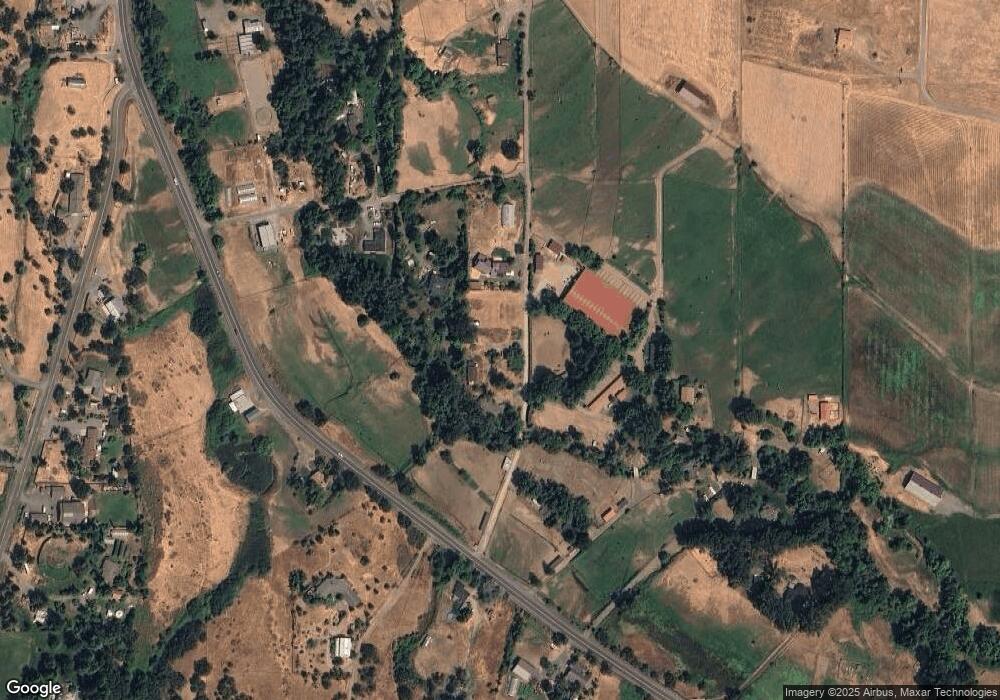
Map
Nearby Homes
- 240 Mobile Dr
- 4890 Highway 66
- 420 Reiten Dr
- 855 Reiten Dr
- 3721 Siskiyou Blvd
- 4260 Clayton Rd
- 0 Timberlake Dr Unit 391E25 132 220208170
- 700 Neil Creek Rd
- 288 Maywood Way
- 448 Timberlake Dr
- 694 Timberlake Dr
- 1999 Tolman Creek Rd
- 3345 Highway 66
- 899 Timberlake Dr
- 3345 Hwy 66 Hwy
- 376 Crowson Rd
- 3152 Siskiyou Blvd
- 488 Crowson Rd
- 938 Cypress Point Loop
- 2799 Siskiyou Blvd Unit 7
- 4575 Oregon 66
- 4575 Highway 66
- 4681 Highway 66
- 4723 Highway 66
- 4720 Highway 66
- 4604 Highway 66
- 4725 Highway 66
- 4481 Highway 66
- 4481 Hwy 66
- 4735 Highway 66
- 4757 E Highway 66
- 4723 Oregon 66
- 4612 Highway 66
- 4780 Highway 66
- 4780 Hwy 66
- 4485 Hwy 66
- 4757 Oregon 66
- 4757 Highway 66
- 4669 Oregon 66
- 4669 Highway 66