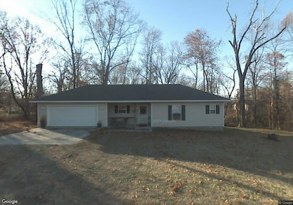
4685 Rusty Ln Springdale, AR 72762
Estimated Value: $363,000 - $494,000
Studio
2
Baths
1,590
Sq Ft
$257/Sq Ft
Est. Value
About This Home
This home is located at 4685 Rusty Ln, Springdale, AR 72762 and is currently estimated at $409,188, approximately $257 per square foot. 4685 Rusty Ln is a home located in Washington County with nearby schools including Bernice Young Elementary School, Central Junior High School, and Hellstern Middle School.
Ownership History
Date
Name
Owned For
Owner Type
Purchase Details
Closed on
Jun 29, 2021
Sold by
Mitchell Darrell A and Mitchell Diane M
Bought by
Castleman Sarah Rose and Castleman Steven Michael
Current Estimated Value
Home Financials for this Owner
Home Financials are based on the most recent Mortgage that was taken out on this home.
Original Mortgage
$221,350
Outstanding Balance
$199,968
Interest Rate
2.9%
Mortgage Type
New Conventional
Estimated Equity
$209,220
Purchase Details
Closed on
May 23, 2008
Sold by
Mitchell Diane M
Bought by
Mitchell Darrell A and Mitchell Diane M
Home Financials for this Owner
Home Financials are based on the most recent Mortgage that was taken out on this home.
Original Mortgage
$129,600
Interest Rate
5.89%
Mortgage Type
Stand Alone Refi Refinance Of Original Loan
Create a Home Valuation Report for This Property
The Home Valuation Report is an in-depth analysis detailing your home's value as well as a comparison with similar homes in the area
Purchase History
| Date | Buyer | Sale Price | Title Company |
|---|---|---|---|
| Castleman Sarah Rose | $233,000 | None Listed On Document | |
| Mitchell Darrell A | -- | Triad Title Company |
Source: Public Records
Mortgage History
| Date | Status | Borrower | Loan Amount |
|---|---|---|---|
| Open | Castleman Sarah Rose | $221,350 | |
| Previous Owner | Mitchell Darrell A | $129,600 |
Source: Public Records
Tax History
| Year | Tax Paid | Tax Assessment Tax Assessment Total Assessment is a certain percentage of the fair market value that is determined by local assessors to be the total taxable value of land and additions on the property. | Land | Improvement |
|---|---|---|---|---|
| 2025 | $1,841 | $78,620 | $48,380 | $30,240 |
| 2024 | $1,861 | $78,620 | $48,380 | $30,240 |
| 2023 | $1,901 | $78,620 | $48,380 | $30,240 |
| 2022 | $1,248 | $30,800 | $14,410 | $16,390 |
| 2021 | $939 | $30,800 | $14,410 | $16,390 |
| 2020 | $939 | $30,800 | $14,410 | $16,390 |
| 2019 | $876 | $23,740 | $10,410 | $13,330 |
| 2018 | $901 | $23,740 | $10,410 | $13,330 |
| 2017 | $889 | $23,740 | $10,410 | $13,330 |
| 2016 | $889 | $23,740 | $10,410 | $13,330 |
| 2015 | $889 | $23,740 | $10,410 | $13,330 |
| 2014 | $945 | $24,810 | $10,380 | $14,430 |
Source: Public Records
Map
Nearby Homes
- 7.4 AC Elm Springs Oak Grove Rd
- 657 Oak Grove Rd
- 695 Oak Grove Rd
- 718 N 40th St
- 5085 Elm Springs Rd
- 5119 Elm Springs Rd
- 8.76 AC Elm Springs Oak Grove Rd
- 5483 Har Ber Ave
- 355 Andy St
- 301 SE Dallas Ln
- 5461 Elm Springs Rd
- 3602 W Emma Ave
- 524 Westford St
- 548 Westford St
- 4077 Glenstone Terrace Unit E
- 6272 Wells Cir
- TBD 0063
- TBD 0071
- 1459 Fredonia St
- 1101 Karena St
- 4641 W Seaton Dr
- 203 N 48th St
- 4579 Rusty Ln
- 4715 W Seaton Dr
- 177 N 48th St
- 4568 W Seaton Dr
- 4557 W Seaton Dr
- 109 N 48th St
- 4521 W Seaton Dr
- 4630 W Seaton Dr
- 307 N 48th St
- 177 N Seaton N
- 4600 W Seaton Dr
- 5.29 acres W Seaton Dr
- 4509 Rusty Ln
- 109 Seaton Dr
- 250 Seaton
- 365 N 48th St
- 111 S 48th St
- 130 Seaton Dr
Your Personal Tour Guide
Ask me questions while you tour the home.