4686 Mccord St Springfield, OH 45503
Estimated Value: $351,826 - $484,000
3
Beds
2
Baths
1,653
Sq Ft
$243/Sq Ft
Est. Value
About This Home
This home is located at 4686 Mccord St, Springfield, OH 45503 and is currently estimated at $402,457, approximately $243 per square foot. 4686 Mccord St is a home located in Clark County with nearby schools including Northridge Elementary School, Kenton Ridge Middle & High School, and Emmanuel Christian Academy.
Ownership History
Date
Name
Owned For
Owner Type
Purchase Details
Closed on
Sep 23, 2016
Sold by
House Brian W and House Kathy L
Bought by
Eiford Darrell J and Conrad Eiford Debra S
Current Estimated Value
Home Financials for this Owner
Home Financials are based on the most recent Mortgage that was taken out on this home.
Original Mortgage
$235,417
Outstanding Balance
$186,506
Interest Rate
3.43%
Mortgage Type
VA
Estimated Equity
$215,951
Purchase Details
Closed on
Aug 24, 2010
Sold by
Michael Jones Designs Inc
Bought by
House Brian W and Daum Kathy L
Home Financials for this Owner
Home Financials are based on the most recent Mortgage that was taken out on this home.
Original Mortgage
$171,200
Interest Rate
4.6%
Mortgage Type
New Conventional
Create a Home Valuation Report for This Property
The Home Valuation Report is an in-depth analysis detailing your home's value as well as a comparison with similar homes in the area
Home Values in the Area
Average Home Value in this Area
Purchase History
| Date | Buyer | Sale Price | Title Company |
|---|---|---|---|
| Eiford Darrell J | $229,900 | Fidelity Lawyers Title Agenc | |
| House Brian W | $225,000 | None Available |
Source: Public Records
Mortgage History
| Date | Status | Borrower | Loan Amount |
|---|---|---|---|
| Open | Eiford Darrell J | $235,417 | |
| Previous Owner | House Brian W | $171,200 |
Source: Public Records
Tax History Compared to Growth
Tax History
| Year | Tax Paid | Tax Assessment Tax Assessment Total Assessment is a certain percentage of the fair market value that is determined by local assessors to be the total taxable value of land and additions on the property. | Land | Improvement |
|---|---|---|---|---|
| 2025 | $3,900 | $122,620 | $34,600 | $88,020 |
| 2024 | $3,799 | $99,000 | $25,520 | $73,480 |
| 2023 | $3,799 | $99,000 | $25,520 | $73,480 |
| 2022 | $3,831 | $99,000 | $25,520 | $73,480 |
| 2021 | $3,445 | $77,540 | $19,930 | $57,610 |
| 2020 | $3,448 | $77,540 | $19,930 | $57,610 |
| 2019 | $3,514 | $77,540 | $19,930 | $57,610 |
| 2018 | $3,613 | $76,590 | $18,270 | $58,320 |
| 2017 | $3,096 | $74,516 | $18,274 | $56,242 |
| 2016 | $3,471 | $74,516 | $18,274 | $56,242 |
| 2015 | $3,408 | $73,644 | $17,402 | $56,242 |
| 2014 | $3,407 | $73,644 | $17,402 | $56,242 |
| 2013 | $3,328 | $73,644 | $17,402 | $56,242 |
Source: Public Records
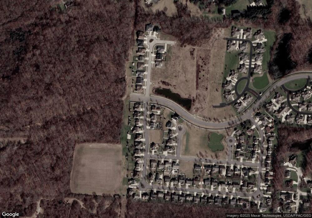
Map
Nearby Homes
- 593 Hiser Ave
- 862 Brendle Trace Unit 20
- 1033 Westmont Cir
- 4455 Derr Rd
- 0 Moorefield Rd
- 4446 Ridgewood Rd E Unit 3
- 1162 Kingsgate Rd
- 5249 Taywell Dr
- 1709 Thomas Dr
- 5220 Ridgewood Rd E
- 1327 Kingsgate Rd
- 1500 Kingsgate Rd
- 1502 Kingsgate Rd
- 1500 Kingsgate Rd Unit 19430
- 1502 Kingsgate Rd Unit 19432
- 1509 Kingsgate Rd
- 3631 Kingsgate Ln
- 1149 Foxboro Rd
- 1501 Kingsgate Rd
- 1707 Berwick Dr
- 4668 Mccord St
- 4652 Mccord St
- 4651 Antrim Ln
- 4691 Mccord St
- 4673 Mccord St
- 4630 Mccord St
- 4655 Antrim Ln
- 4655 Mccord St
- 4731 Mccord Cir W
- 4633 Antrim Ln
- 4637 Mccord St
- 4612 Mccord St
- 4737 Mccord Cir W
- 4611 Antrim Ln
- 4619 Mccord St
- 4594 Mccord St
- 4743 Mccord Cir W
- 4601 Mccord St
- 4593 Antrim Ln
- 4752 Mccord St