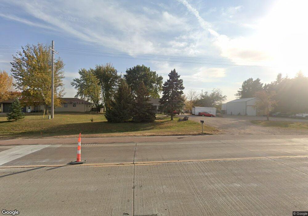
46861 265th St Sioux Falls, SD 57106
Northwest Sioux Falls NeighborhoodEstimated Value: $322,000 - $384,000
3
Beds
3
Baths
1,176
Sq Ft
$290/Sq Ft
Est. Value
About This Home
This home is located at 46861 265th St, Sioux Falls, SD 57106 and is currently estimated at $340,696, approximately $289 per square foot. 46861 265th St is a home located in Minnehaha County with nearby schools including West Central Middle School, West Central High School, and St. Michael Elementary.
Ownership History
Date
Name
Owned For
Owner Type
Purchase Details
Closed on
Jul 30, 2021
Sold by
Poss Matthew and Poss Samantha
Bought by
Brockhouse Erin and Brockhouse Jerimiah
Current Estimated Value
Home Financials for this Owner
Home Financials are based on the most recent Mortgage that was taken out on this home.
Original Mortgage
$223,250
Outstanding Balance
$203,366
Interest Rate
3.02%
Mortgage Type
New Conventional
Estimated Equity
$137,330
Create a Home Valuation Report for This Property
The Home Valuation Report is an in-depth analysis detailing your home's value as well as a comparison with similar homes in the area
Home Values in the Area
Average Home Value in this Area
Purchase History
| Date | Buyer | Sale Price | Title Company |
|---|---|---|---|
| Brockhouse Erin | $235,000 | Stewart Title Company |
Source: Public Records
Mortgage History
| Date | Status | Borrower | Loan Amount |
|---|---|---|---|
| Open | Brockhouse Erin | $223,250 |
Source: Public Records
Tax History
| Year | Tax Paid | Tax Assessment Tax Assessment Total Assessment is a certain percentage of the fair market value that is determined by local assessors to be the total taxable value of land and additions on the property. | Land | Improvement |
|---|---|---|---|---|
| 2024 | $3,660 | $346,700 | $89,000 | $257,700 |
| 2023 | $3,450 | $309,700 | $62,500 | $247,200 |
| 2022 | $2,703 | $228,800 | $48,100 | $180,700 |
| 2021 | $3,409 | $212,900 | $0 | $0 |
| 2020 | $3,409 | $211,955 | $0 | $0 |
| 2019 | $3,289 | $199,384 | $0 | $0 |
| 2018 | $2,780 | $193,579 | $0 | $0 |
| 2017 | $2,887 | $177,605 | $37,676 | $139,929 |
| 2016 | $2,887 | $177,605 | $37,676 | $139,929 |
| 2015 | $2,979 | $168,529 | $31,396 | $137,133 |
| 2014 | $3,112 | $169,109 | $31,396 | $137,713 |
Source: Public Records
Map
Nearby Homes
- 9005 W Dragonfly Dr
- 8812 Windmill Ridge St
- 701 S Gill Ave
- 521 S Big Stone Ave
- 8611 W Shoreline Place
- 8619 W Shoreline Place
- 8621 W Shoreline Place
- 8617 W Shoreline Place
- 8609 W Shoreline Place
- 8607 W Shoreline Place
- 8600 W Shoreline Place
- 516 S Mary Gene Ave
- 100 N Bryggen Place
- 102 N Bryggen Place
- 104 N Bryggen Place
- 106 N Bryggen Place
- 8709 W Rathburn St
- 301 S Waterside Cir
- 8016 W Browning St
- 1100 S Maria Ave
- 0 Tbd 265th St Unit 21411189
- 0 Tbd 265th St Unit 21413280
- 46863 265th St
- 46857 265th St
- 9005 W Kingfisher Cir
- 46867 265th St
- 46855 265th St
- 9105 W Kingfisher Cir
- 46831 265th St
- 9001 W Kingfisher Cir
- 9109 W Kingfisher Cir
- 46869 265th St
- 9201 W Kingfisher Cir
- 9000 W Kingfisher Cir
- 46851 265th St
- 9205 W Kingfisher Cir
- 0 265th St Unit 21804963
- 0 265th St
- 9100 W Kingfisher Cir
- 9104 W Kingfisher Cir
Your Personal Tour Guide
Ask me questions while you tour the home.