Estimated Value: $440,000 - $584,787
2
Beds
1
Bath
1,306
Sq Ft
$390/Sq Ft
Est. Value
About This Home
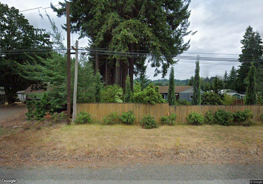
This home is located at 46870 SE Highway 26, Sandy, OR 97055 and is currently estimated at $509,947, approximately $390 per square foot. 46870 SE Highway 26 is a home located in Clackamas County with nearby schools including Firwood Elementary School, Cedar Ridge Middle School, and Sandy High School.
Ownership History
Date
Name
Owned For
Owner Type
Purchase Details
Closed on
Oct 13, 2011
Sold by
Raudenbush Orville A
Bought by
Nash Dennis and Mcguire Alan E
Current Estimated Value
Purchase Details
Closed on
Oct 11, 2011
Sold by
Hosie Steven R
Bought by
Nash Dennis and Mcguire Alan E
Purchase Details
Closed on
Oct 30, 2009
Sold by
Hustoft Janice F
Bought by
Hustoft Janice Faith and Hosie Steven R
Purchase Details
Closed on
Sep 29, 2004
Sold by
Armstrong Russell B
Bought by
Hustoft Gary W and Armstrong Russell B
Create a Home Valuation Report for This Property
The Home Valuation Report is an in-depth analysis detailing your home's value as well as a comparison with similar homes in the area
Home Values in the Area
Average Home Value in this Area
Purchase History
| Date | Buyer | Sale Price | Title Company |
|---|---|---|---|
| Nash Dennis | $79,100 | Fatco | |
| Nash Dennis | $79,100 | First Amer Title Ins Co Or | |
| Hustoft Janice Faith | -- | Accommodation | |
| Hustoft Gary W | -- | -- |
Source: Public Records
Tax History Compared to Growth
Tax History
| Year | Tax Paid | Tax Assessment Tax Assessment Total Assessment is a certain percentage of the fair market value that is determined by local assessors to be the total taxable value of land and additions on the property. | Land | Improvement |
|---|---|---|---|---|
| 2025 | $3,585 | $263,317 | -- | -- |
| 2024 | $3,421 | $255,648 | -- | -- |
| 2023 | $3,421 | $248,202 | $0 | $0 |
| 2022 | $3,245 | $240,973 | $0 | $0 |
| 2021 | $3,129 | $233,955 | $0 | $0 |
| 2020 | $3,046 | $227,141 | $0 | $0 |
| 2019 | $3,033 | $220,526 | $0 | $0 |
| 2018 | $2,949 | $214,103 | $0 | $0 |
| 2017 | $2,881 | $207,867 | $0 | $0 |
| 2016 | $2,778 | $201,813 | $0 | $0 |
| 2015 | $2,700 | $195,935 | $0 | $0 |
| 2014 | $2,602 | $190,228 | $0 | $0 |
Source: Public Records
Map
Nearby Homes
- 44871 SE Highway 26
- 45495 SE Coalman Rd
- 44300 SE Sandercock Ln
- 43940 SE Music Camp Rd
- 50010 SE Coalman Rd
- 20671 SE Greenleaf Dr
- 44434 SE Coalman Rd
- 23861 SE 442nd Ave
- 20475 SE Baty Rd
- 21385 SE Firwood Rd
- 44220 SE Pagh Rd
- 25751 SE Brian Ranch Rd
- 41800 Deschutes Ave Unit 86A
- 18855 Crooked River St Unit 41
- 18905 Crooked River St Unit 46
- 41865 Deschutes Ave Unit 61
- 18935 Crooked River St Unit 49
- 41900 Deschutes Ave Unit 81B
- 42101 SE Locksmith Ln
- 41830 Deschutes Ave Unit 85A
- 46880 SE Highway 26
- 46800 SE Highway 26
- 46881 SE Highway 26
- 46881 SE Highway 26 Unit 1
- 46726 SE Highway 26
- 47000 U S 26 Unit 36
- 47000 U S 26 Unit 18
- 47000 U S 26 Unit 16
- 47000 U S 26
- 47000 SE Hwy 26 Unit 1
- 46809 SE Highway 26
- 46950 SE Highway 26
- 46636 SE Highway 26
- 46727 SE Highway 26
- 47007 SE Highway 26
- 0 Highway 26 Unit 21551521
- 46530 SE Highway 26
- 47035 SE Highway 26
- 47035 SE Highway 26 Unit 2
- 47035 SE Highway 26 Unit 1