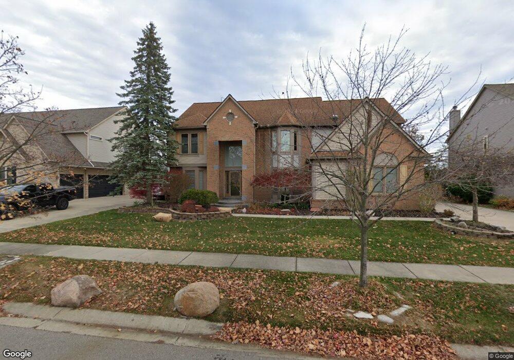
46895 Glengarry Blvd Canton, MI 48188
Estimated Value: $578,032 - $662,000
Studio
3
Baths
3,153
Sq Ft
$198/Sq Ft
Est. Value
About This Home
This home is located at 46895 Glengarry Blvd, Canton, MI 48188 and is currently estimated at $624,508, approximately $198 per square foot. 46895 Glengarry Blvd is a home located in Wayne County with nearby schools including Canton High School, Plymouth High School, and Salem High School.
Ownership History
Date
Name
Owned For
Owner Type
Purchase Details
Closed on
Nov 12, 2020
Sold by
Lafayette Steven D
Bought by
Hammoud Haidar A
Current Estimated Value
Home Financials for this Owner
Home Financials are based on the most recent Mortgage that was taken out on this home.
Original Mortgage
$427,500
Interest Rate
2.71%
Mortgage Type
New Conventional
Create a Home Valuation Report for This Property
The Home Valuation Report is an in-depth analysis detailing your home's value as well as a comparison with similar homes in the area
Home Values in the Area
Average Home Value in this Area
Purchase History
| Date | Buyer | Sale Price | Title Company |
|---|---|---|---|
| Hammoud Haidar A | $450,000 | Stg |
Source: Public Records
Mortgage History
| Date | Status | Borrower | Loan Amount |
|---|---|---|---|
| Previous Owner | Hammoud Haidar A | $427,500 |
Source: Public Records
Tax History
| Year | Tax Paid | Tax Assessment Tax Assessment Total Assessment is a certain percentage of the fair market value that is determined by local assessors to be the total taxable value of land and additions on the property. | Land | Improvement |
|---|---|---|---|---|
| 2025 | $4,588 | $293,900 | $0 | $0 |
| 2024 | $4,457 | $254,900 | $0 | $0 |
| 2023 | $4,249 | $251,700 | $0 | $0 |
| 2022 | $9,138 | $224,100 | $0 | $0 |
| 2021 | $9,120 | $223,300 | $0 | $0 |
| 2020 | $7,291 | $215,800 | $0 | $0 |
| 2019 | $7,155 | $207,950 | $0 | $0 |
| 2018 | $2,995 | $200,280 | $0 | $0 |
| 2017 | $7,195 | $196,800 | $0 | $0 |
| 2016 | $6,498 | $198,900 | $0 | $0 |
| 2015 | $16,459 | $175,470 | $0 | $0 |
| 2013 | $15,944 | $180,420 | $0 | $0 |
| 2010 | -- | $148,640 | $70,062 | $78,578 |
Source: Public Records
Map
Nearby Homes
- 51083 Meadowlands
- 464 Waterview Ct
- 1752 Thistle Dr
- 45246 Gerald Ct
- 48030 Cherry Hill Rd
- 48318 Manhattan Cir
- 46501 Killarney Cir
- 45863 Baywood Blvd
- 8517 N Beck Rd
- 45169 Middlebury Ln
- 1849 Wentworth Ct
- 47450 Ellery Ln
- 215 Edington Cir
- 407 Fairfield Ct
- 2759 Calloway Ct
- 241 Edington Cir
- 379 Springfield Dr
- 1275 Hendrie
- 45678 Aragon Ln
- 1289 Old Colony Ln Unit 232
- 46883 Glengarry Blvd
- 46927 Glengarry Blvd
- 46939 Glengarry Blvd
- 46775 Inverness Rd
- 46753 Inverness Rd
- 865 Sandalwood Rd
- 46880 Glengarry Blvd
- 46729 Inverness Rd
- 46953 Glengarry Blvd
- 46856 Glengarry Blvd
- 797 Sandalwood Rd
- 46703 Inverness Rd
- 46832 Glengarry Blvd
- 46807 Glengarry Blvd
- 624 Country Club Ln
- 602 Country Club Ln
- 46746 Inverness Rd
- 46714 Inverness Rd
- 46808 Glengarry Blvd
- 46681 Inverness Rd
Your Personal Tour Guide
Ask me questions while you tour the home.