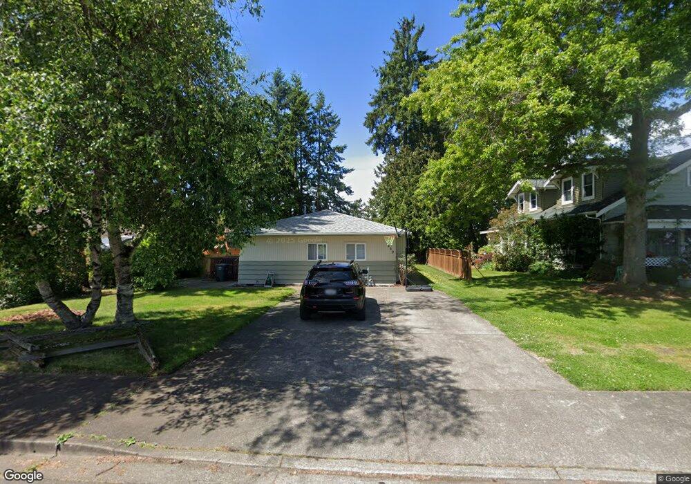
469 4th St Blaine, WA 98230
Estimated Value: $443,790 - $510,000
3
Beds
3
Baths
1,609
Sq Ft
$295/Sq Ft
Est. Value
About This Home
This home is located at 469 4th St, Blaine, WA 98230 and is currently estimated at $473,948, approximately $294 per square foot. 469 4th St is a home located in Whatcom County with nearby schools including Blaine Primary School, Blaine Elementary School, and Blaine Middle School.
Ownership History
Date
Name
Owned For
Owner Type
Purchase Details
Closed on
Jul 27, 2011
Sold by
Devoss Tamera L and Large Pamela A
Bought by
Dent Harry W and Dent Catherine E
Current Estimated Value
Home Financials for this Owner
Home Financials are based on the most recent Mortgage that was taken out on this home.
Original Mortgage
$119,844
Outstanding Balance
$82,552
Interest Rate
4.46%
Mortgage Type
New Conventional
Estimated Equity
$391,396
Purchase Details
Closed on
May 24, 2006
Sold by
Dent Harry Wayne and Dent Catherine Elana
Bought by
Devoss Tamera L and Large Pamela A
Home Financials for this Owner
Home Financials are based on the most recent Mortgage that was taken out on this home.
Original Mortgage
$41,800
Interest Rate
6.13%
Mortgage Type
Stand Alone Second
Create a Home Valuation Report for This Property
The Home Valuation Report is an in-depth analysis detailing your home's value as well as a comparison with similar homes in the area
Home Values in the Area
Average Home Value in this Area
Purchase History
| Date | Buyer | Sale Price | Title Company |
|---|---|---|---|
| Dent Harry W | $150,085 | First American Title Ins | |
| Devoss Tamera L | $209,280 | Chicago Title Insurance |
Source: Public Records
Mortgage History
| Date | Status | Borrower | Loan Amount |
|---|---|---|---|
| Open | Dent Harry W | $119,844 | |
| Previous Owner | Devoss Tamera L | $41,800 | |
| Previous Owner | Devoss Tamera L | $167,200 |
Source: Public Records
Tax History Compared to Growth
Tax History
| Year | Tax Paid | Tax Assessment Tax Assessment Total Assessment is a certain percentage of the fair market value that is determined by local assessors to be the total taxable value of land and additions on the property. | Land | Improvement |
|---|---|---|---|---|
| 2024 | $2,672 | $396,700 | $127,650 | $269,050 |
| 2023 | $2,672 | $396,700 | $127,650 | $269,050 |
| 2022 | $2,428 | $357,387 | $115,000 | $242,387 |
| 2021 | $2,316 | $278,234 | $99,084 | $179,150 |
| 2020 | $2,204 | $241,943 | $86,160 | $155,783 |
| 2019 | $2,052 | $221,556 | $78,900 | $142,656 |
| 2018 | $1,907 | $201,338 | $71,700 | $129,638 |
| 2017 | $1,701 | $168,484 | $60,000 | $108,484 |
| 2016 | $1,541 | $168,484 | $60,000 | $108,484 |
| 2015 | $1,510 | $147,304 | $44,163 | $103,141 |
| 2014 | -- | $140,965 | $42,262 | $98,703 |
| 2013 | -- | $139,428 | $41,800 | $97,628 |
Source: Public Records
Map
Nearby Homes
- 240 G St
- 547 E St
- 159830 3rd St
- 319 6th St
- 341 C St
- 1300 G St
- 253 Clark St
- 942 3rd St
- 707 C St
- 0 Peace Portal Dr Unit NWM2324632
- 41 Birch Ct
- 976 Peace Portal Dr
- 241 9th St
- 1061 Peace Portal Dr Unit 6
- 1047 Garfield Ave
- 0 Drayton Harbor Rd Unit NWM2321274
- 549 Cherry St
- 426 10th St
- 225 10th St
- 259 11th St