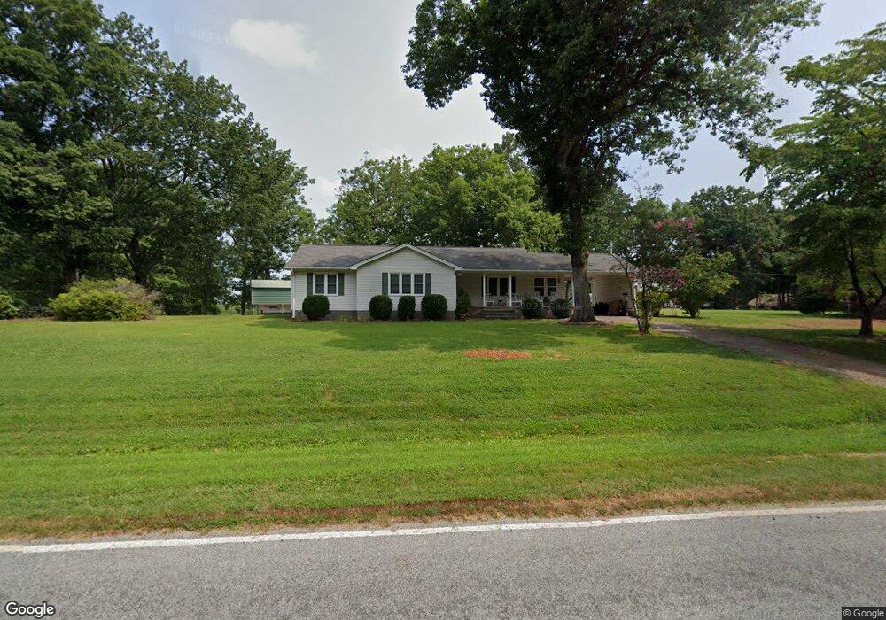
469 Barham Rd Reidsville, NC 27320
Estimated Value: $242,000 - $315,000
2
Beds
1
Bath
1,814
Sq Ft
$151/Sq Ft
Est. Value
About This Home
This home is located at 469 Barham Rd, Reidsville, NC 27320 and is currently estimated at $274,126, approximately $151 per square foot. 469 Barham Rd is a home located in Rockingham County with nearby schools including Bethany Elementary School, Rockingham County Middle School, and Rockingham County High School.
Ownership History
Date
Name
Owned For
Owner Type
Purchase Details
Closed on
Dec 16, 2005
Sold by
Fox Eva Barham Donathan and Fox Steven B
Bought by
Wall James Ralph and Wall Maria Barham
Current Estimated Value
Home Financials for this Owner
Home Financials are based on the most recent Mortgage that was taken out on this home.
Original Mortgage
$122,220
Outstanding Balance
$71,786
Interest Rate
6.19%
Mortgage Type
Construction
Estimated Equity
$202,340
Purchase Details
Closed on
Sep 22, 2005
Sold by
Barham Donald Wayne
Bought by
Fox Eva Barham Donathan and Donathan Eva Barham
Create a Home Valuation Report for This Property
The Home Valuation Report is an in-depth analysis detailing your home's value as well as a comparison with similar homes in the area
Home Values in the Area
Average Home Value in this Area
Purchase History
| Date | Buyer | Sale Price | Title Company |
|---|---|---|---|
| Wall James Ralph | $60,000 | Chicago Title Insurance Comp | |
| Fox Eva Barham Donathan | -- | None Available |
Source: Public Records
Mortgage History
| Date | Status | Borrower | Loan Amount |
|---|---|---|---|
| Open | Wall James Ralph | $122,220 |
Source: Public Records
Tax History Compared to Growth
Tax History
| Year | Tax Paid | Tax Assessment Tax Assessment Total Assessment is a certain percentage of the fair market value that is determined by local assessors to be the total taxable value of land and additions on the property. | Land | Improvement |
|---|---|---|---|---|
| 2025 | $1,500 | $213,473 | $33,418 | $180,055 |
| 2024 | $1,416 | $213,473 | $33,418 | $180,055 |
| 2023 | $1,416 | $119,928 | $21,266 | $98,662 |
| 2022 | $972 | $119,928 | $21,266 | $98,662 |
| 2021 | $965 | $119,928 | $21,266 | $98,662 |
| 2020 | $1,033 | $119,928 | $21,266 | $98,662 |
| 2019 | $1,036 | $119,928 | $21,266 | $98,662 |
| 2018 | $999 | $114,738 | $28,228 | $86,510 |
| 2017 | $1,002 | $114,738 | $28,228 | $86,510 |
| 2015 | $1,108 | $114,738 | $28,228 | $86,510 |
| 2014 | -- | $114,738 | $28,228 | $86,510 |
Source: Public Records
Map
Nearby Homes
- 205 Pearman Rd
- 129 Bethel Trace
- 6821 Nc Highway 65
- 834 Neal Rd
- 0 Griffin Rd
- 7956 N Carolina 65
- 624 Lowe Rd
- 588 Lowe Rd
- 129 Witherspoon Ln
- 8020 N Carolina 65
- 107 Alley Farm Rd
- 937 Haynes Rd
- 00 Mccollum Rd
- 7966 N Carolina 65
- 130 Laced Maple Ct
- 1264 Washburn Rd
- Parcel C Iron Works Rd
- 120 Scenic View Trail
- 460 Gold Hill Rd
- 228 Sitting Rock Dr