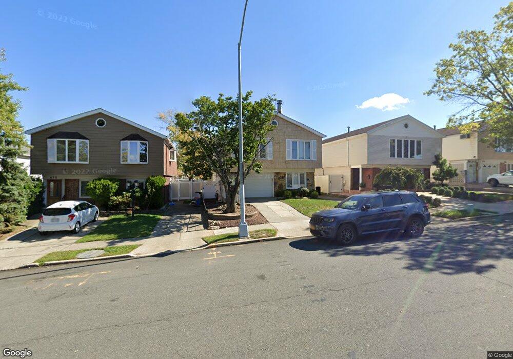
469 Colon Ave Staten Island, NY 10308
Great Kills NeighborhoodEstimated Value: $850,826 - $1,001,000
4
Beds
2
Baths
2,392
Sq Ft
$387/Sq Ft
Est. Value
About This Home
This home is located at 469 Colon Ave, Staten Island, NY 10308 and is currently estimated at $925,457, approximately $386 per square foot. 469 Colon Ave is a home located in Richmond County with nearby schools including P.S. 32 The Gifford School, I.S. 075 Frank D. Paulo, and Susan E Wagner High School.
Ownership History
Date
Name
Owned For
Owner Type
Purchase Details
Closed on
Jun 2, 2005
Sold by
Contino Grace
Bought by
Romagnano Joseph and Moscato Amanda
Current Estimated Value
Purchase Details
Closed on
Mar 26, 2003
Sold by
Romagnano Georgette and Contino Grace
Bought by
Contino Grace
Purchase Details
Closed on
Jun 25, 1998
Sold by
Mazzarisi Louis A
Bought by
Romagnano Georgette and Contino Grace
Home Financials for this Owner
Home Financials are based on the most recent Mortgage that was taken out on this home.
Original Mortgage
$170,000
Interest Rate
6.92%
Purchase Details
Closed on
Sep 5, 1996
Sold by
Mazzarisi Louis A and Mazzarisi Andrea
Bought by
Mazzarisi Louis A
Create a Home Valuation Report for This Property
The Home Valuation Report is an in-depth analysis detailing your home's value as well as a comparison with similar homes in the area
Home Values in the Area
Average Home Value in this Area
Purchase History
| Date | Buyer | Sale Price | Title Company |
|---|---|---|---|
| Romagnano Joseph | $575,000 | -- | |
| Contino Grace | $30,149 | Homestead Title Agency Inc | |
| Romagnano Georgette | $245,000 | -- | |
| Mazzarisi Louis A | $70,000 | Chicago Title Insurance Co |
Source: Public Records
Mortgage History
| Date | Status | Borrower | Loan Amount |
|---|---|---|---|
| Previous Owner | Romagnano Georgette | $170,000 |
Source: Public Records
Tax History Compared to Growth
Tax History
| Year | Tax Paid | Tax Assessment Tax Assessment Total Assessment is a certain percentage of the fair market value that is determined by local assessors to be the total taxable value of land and additions on the property. | Land | Improvement |
|---|---|---|---|---|
| 2025 | $7,697 | $53,280 | $9,388 | $43,892 |
| 2024 | $7,709 | $48,300 | $9,770 | $38,530 |
| 2023 | $7,326 | $37,472 | $8,668 | $28,804 |
| 2022 | $6,770 | $43,860 | $11,880 | $31,980 |
| 2021 | $7,137 | $39,600 | $11,880 | $27,720 |
| 2020 | $7,131 | $40,620 | $11,880 | $28,740 |
| 2019 | $6,631 | $43,320 | $11,880 | $31,440 |
| 2018 | $6,068 | $31,227 | $9,512 | $21,715 |
| 2017 | $5,706 | $29,460 | $11,880 | $17,580 |
| 2016 | $6,203 | $32,580 | $11,880 | $20,700 |
| 2015 | $5,763 | $32,700 | $9,900 | $22,800 |
| 2014 | $5,763 | $31,620 | $9,900 | $21,720 |
Source: Public Records
Map
Nearby Homes
- 466 Doane Ave
- 379 Brookfield Ave
- 350 Brookfield Ave
- 414 Elverton Ave
- 72 Eric Ln
- 87 Pemberton Ave
- 26 E Brandis Ave
- 339 Abingdon Ave
- 345 Colon Ave
- 259 Brookfield Ave
- 132 Elkhart St
- 307 Abingdon Ave
- 74 E Brandis Ave
- 420 Arthur Kill Rd
- 919 Armstrong Ave
- 271 Doane Ave
- 185 Brookfield Ave
- 924 Armstrong Ave Unit 2-3
- 248 Abingdon Ave
- 68 Elkhart St