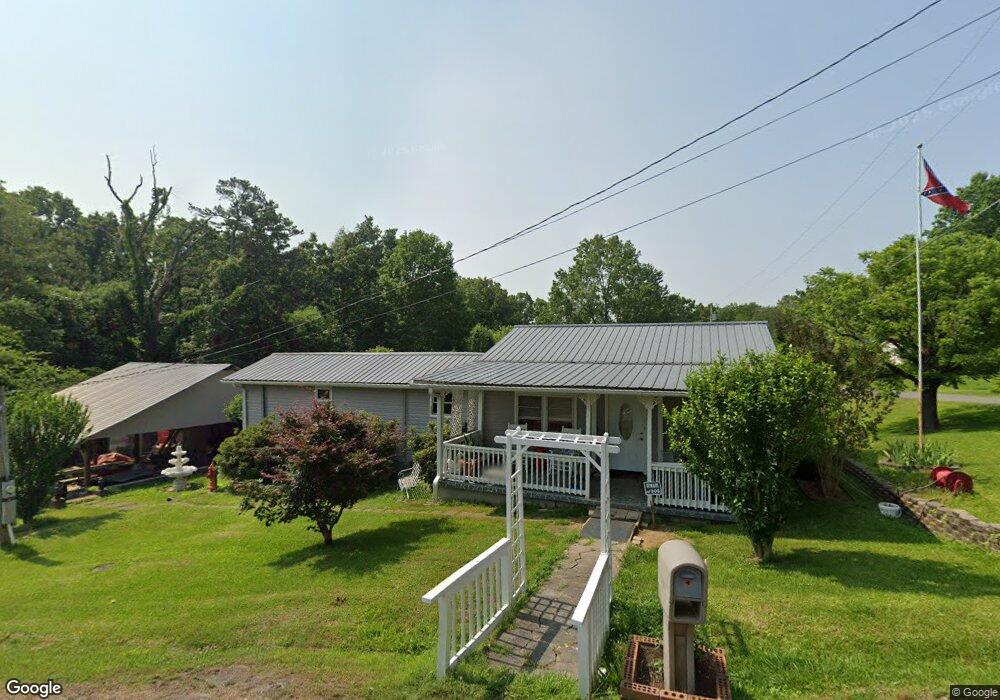
469 Davis Rd Chickamauga, GA 30707
Estimated Value: $127,330 - $227,000
Studio
1
Bath
1,056
Sq Ft
$178/Sq Ft
Est. Value
About This Home
This home is located at 469 Davis Rd, Chickamauga, GA 30707 and is currently estimated at $188,333, approximately $178 per square foot. 469 Davis Rd is a home located in Walker County with nearby schools including Cherokee Ridge Elementary School, Rossville Middle School, and Ridgeland High School.
Ownership History
Date
Name
Owned For
Owner Type
Purchase Details
Closed on
Jan 1, 1988
Sold by
Joann Robert E and Joann Mathis
Bought by
Mathis Robert E and Mathis Debra K
Current Estimated Value
Purchase Details
Closed on
May 3, 1973
Sold by
Family Real Estate Co Inc
Bought by
Joann Robert E and Joann Mathis
Purchase Details
Closed on
Jan 1, 1972
Bought by
Family Real Estate Co Inc
Create a Home Valuation Report for This Property
The Home Valuation Report is an in-depth analysis detailing your home's value as well as a comparison with similar homes in the area
Home Values in the Area
Average Home Value in this Area
Purchase History
| Date | Buyer | Sale Price | Title Company |
|---|---|---|---|
| Mathis Robert E | -- | -- | |
| Joann Robert E | -- | -- | |
| Family Real Estate Co Inc | -- | -- |
Source: Public Records
Tax History
| Year | Tax Paid | Tax Assessment Tax Assessment Total Assessment is a certain percentage of the fair market value that is determined by local assessors to be the total taxable value of land and additions on the property. | Land | Improvement |
|---|---|---|---|---|
| 2025 | $783 | $44,332 | $3,672 | $40,660 |
| 2024 | $807 | $40,872 | $2,448 | $38,424 |
| 2023 | $781 | $38,896 | $2,448 | $36,448 |
| 2022 | $693 | $33,514 | $2,448 | $31,066 |
| 2021 | $626 | $22,204 | $2,448 | $19,756 |
| 2020 | $544 | $18,407 | $2,448 | $15,959 |
| 2019 | $552 | $18,407 | $2,448 | $15,959 |
| 2018 | $487 | $18,407 | $2,448 | $15,959 |
| 2017 | $603 | $18,407 | $2,448 | $15,959 |
| 2016 | $532 | $18,431 | $2,472 | $15,959 |
| 2015 | $480 | $15,452 | $2,748 | $12,704 |
| 2014 | $404 | $15,452 | $2,748 | $12,704 |
| 2013 | -- | $15,451 | $2,748 | $12,703 |
Source: Public Records
Map
Nearby Homes
- 550 Osborn Rd
- 117 S Forest Rd
- 115 Wilder St
- 55 Rutledge St
- 191 Haleys Cove Dr
- 30 Boseman Ln
- 5.28 ACRES Johnson Rd
- 1208 Johnson Rd
- 633 E Garden Farm Rd
- 140 Arlington Dr
- 146 Arlington Dr
- 923 Crest Dr
- 108 Arlington Dr
- 116 Arlington Dr
- 100 Arlington Dr
- 94 Arlington Dr
- 130 Arlington Dr
- 124 Arlington Dr
- 84 Arlington Dr
- 944 Hurtt Rd
Your Personal Tour Guide
Ask me questions while you tour the home.