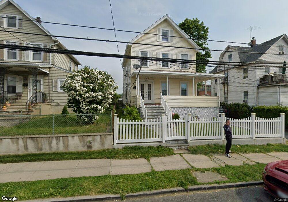
469 Ellendale Ave Port Chester, NY 10573
Estimated Value: $783,961 - $804,000
4
Beds
2
Baths
2,192
Sq Ft
$362/Sq Ft
Est. Value
About This Home
This home is located at 469 Ellendale Ave, Port Chester, NY 10573 and is currently estimated at $794,490, approximately $362 per square foot. 469 Ellendale Ave is a home located in Westchester County with nearby schools including Port Chester Senior High School, Corpus Christi Holy Rosary School, and Rye Country Day School.
Ownership History
Date
Name
Owned For
Owner Type
Purchase Details
Closed on
Apr 5, 2005
Sold by
Acapana William
Bought by
Acapana Moises
Current Estimated Value
Home Financials for this Owner
Home Financials are based on the most recent Mortgage that was taken out on this home.
Original Mortgage
$351,000
Interest Rate
1%
Mortgage Type
New Conventional
Create a Home Valuation Report for This Property
The Home Valuation Report is an in-depth analysis detailing your home's value as well as a comparison with similar homes in the area
Home Values in the Area
Average Home Value in this Area
Purchase History
| Date | Buyer | Sale Price | Title Company |
|---|---|---|---|
| Acapana Moises | -- | -- | |
| Acapana Moises | -- | United General Title Ins Co |
Source: Public Records
Mortgage History
| Date | Status | Borrower | Loan Amount |
|---|---|---|---|
| Previous Owner | Acapana Moises | $351,000 |
Source: Public Records
Tax History Compared to Growth
Tax History
| Year | Tax Paid | Tax Assessment Tax Assessment Total Assessment is a certain percentage of the fair market value that is determined by local assessors to be the total taxable value of land and additions on the property. | Land | Improvement |
|---|---|---|---|---|
| 2024 | $15,506 | $671,300 | $188,100 | $483,200 |
| 2023 | $9,089 | $633,300 | $179,200 | $454,100 |
| 2022 | $4,428 | $608,900 | $179,200 | $429,700 |
| 2021 | $4,935 | $517,500 | $179,200 | $338,300 |
| 2020 | $7,354 | $517,500 | $179,200 | $338,300 |
| 2019 | $9,993 | $472,200 | $176,000 | $296,200 |
| 2018 | $8,302 | $468,100 | $178,000 | $290,100 |
| 2017 | $1,792 | $446,300 | $155,400 | $290,900 |
| 2016 | $8,155 | $423,000 | $158,900 | $264,100 |
| 2015 | -- | $419,200 | $155,800 | $263,400 |
| 2014 | -- | $390,000 | $146,900 | $243,100 |
| 2013 | -- | $398,500 | $155,400 | $243,100 |
Source: Public Records
Map
Nearby Homes
- 24 Park Place
- 420 W William St
- 485 Westchester Ave
- 413 Franklin St
- 244 S Ridge St
- 410 Westchester Ave Unit 202
- 35 Summit Ave Unit 3H
- 370 Westchester Ave Unit 7P
- 431 Irving Ave
- 360 Westchester Ave Unit 302
- 360 Westchester Ave Unit 223
- 395 Westchester Ave Unit 3A
- 395 Westchester Ave Unit LC
- 377 Westchester Ave Unit 6C
- 377 Westchester Ave Unit 5N
- 96 Inwood Ave
- 11 Whittemore Place
- 130 Spring St
- 111 Spring St
- 22 Spring St
- 465 Ellendale Ave
- 471 Ellendale Ave
- 472 Ellendale Ave
- 483 Ellendale Ave
- 479 Ellendale Ave Unit 2
- 479 Ellendale Ave
- 64 Merritt St
- 474 Franklin St
- 476 Franklin St
- 474 Ellendale Ave
- 485 Ellendale Ave
- 476 Ellendale Ave
- 451 Ellendale Ave
- 478 Franklin St
- 37 Merritt St
- 35 Merritt St
- 478 Ellendale Ave
- 76 Merritt St
- 489 Ellendale Ave Unit 1
- 489 Ellendale Ave