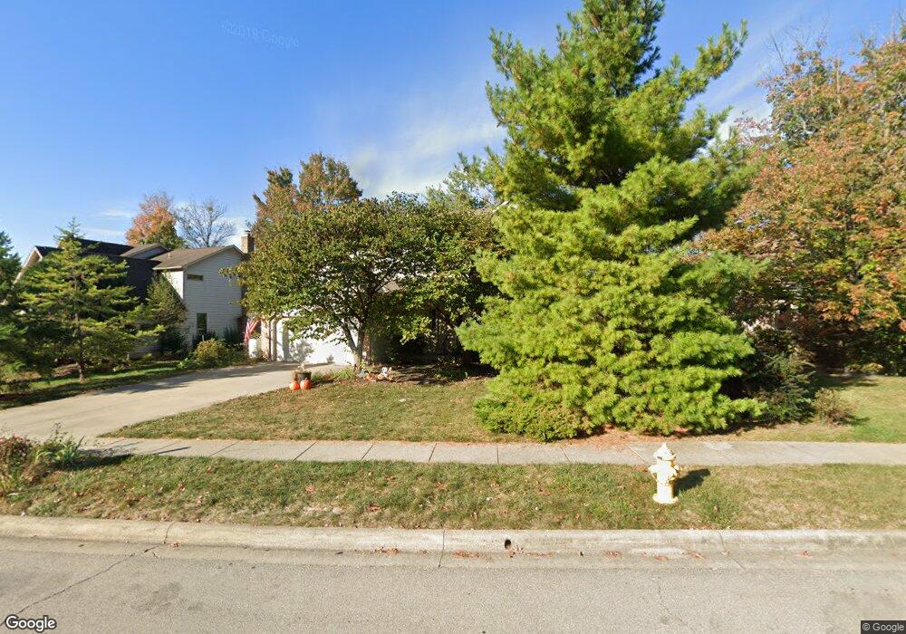
469 Glenside Ln Powell, OH 43065
Liberty Township NeighborhoodEstimated Value: $418,000 - $449,008
4
Beds
3
Baths
2,040
Sq Ft
$214/Sq Ft
Est. Value
About This Home
This home is located at 469 Glenside Ln, Powell, OH 43065 and is currently estimated at $436,502, approximately $213 per square foot. 469 Glenside Ln is a home located in Delaware County with nearby schools including Heritage Elementary School, Olentangy Shanahan Middle School, and Olentangy High School.
Ownership History
Date
Name
Owned For
Owner Type
Purchase Details
Closed on
Apr 14, 2023
Sold by
Rizzo Bruce A and Rizzo Brenda K
Bought by
Bruce And Brenda Rizzo Living Trust
Current Estimated Value
Purchase Details
Closed on
Sep 23, 1998
Sold by
Cochran Diane L
Bought by
Rizzo Bruce A and Rizzo Brenda K
Home Financials for this Owner
Home Financials are based on the most recent Mortgage that was taken out on this home.
Original Mortgage
$151,000
Interest Rate
6.99%
Mortgage Type
New Conventional
Create a Home Valuation Report for This Property
The Home Valuation Report is an in-depth analysis detailing your home's value as well as a comparison with similar homes in the area
Home Values in the Area
Average Home Value in this Area
Purchase History
| Date | Buyer | Sale Price | Title Company |
|---|---|---|---|
| Bruce And Brenda Rizzo Living Trust | -- | None Listed On Document | |
| Rizzo Bruce A | $181,000 | -- |
Source: Public Records
Mortgage History
| Date | Status | Borrower | Loan Amount |
|---|---|---|---|
| Previous Owner | Rizzo Bruce A | $151,000 |
Source: Public Records
Tax History Compared to Growth
Tax History
| Year | Tax Paid | Tax Assessment Tax Assessment Total Assessment is a certain percentage of the fair market value that is determined by local assessors to be the total taxable value of land and additions on the property. | Land | Improvement |
|---|---|---|---|---|
| 2024 | $6,858 | $124,360 | $31,640 | $92,720 |
| 2023 | $6,883 | $124,360 | $31,640 | $92,720 |
| 2022 | $5,979 | $87,860 | $19,290 | $68,570 |
| 2021 | $6,013 | $87,860 | $19,290 | $68,570 |
| 2020 | $6,041 | $87,860 | $19,290 | $68,570 |
| 2019 | $4,977 | $75,050 | $19,290 | $55,760 |
| 2018 | $4,999 | $75,050 | $19,290 | $55,760 |
| 2017 | $4,783 | $71,340 | $15,440 | $55,900 |
| 2016 | $5,062 | $71,340 | $15,440 | $55,900 |
| 2015 | $4,618 | $71,340 | $15,440 | $55,900 |
| 2014 | $4,684 | $71,340 | $15,440 | $55,900 |
| 2013 | $4,649 | $69,200 | $15,440 | $53,760 |
Source: Public Records
Map
Nearby Homes
- 492 Glenside Ln
- 436 Meadow View Dr
- 88 Ravine Rd
- 8511 Stonewoods Ln
- 199 Spicewood Ln
- 8511 Meacham Ct
- 8447 Meacham Ct
- 8523 Meacham Ct
- 423 Hidden Ravines Dr
- 8268 Coppertop Ln
- 424 Hidden Ravines Dr
- 280 Whistling Way Dr
- 495 Chardonnay Ln Unit 495
- 8552 Misty Woods Cir
- 912 Matthews Brook Ln
- 8061 Cranes Crossing Dr
- 789 Hidden Springs Dr
- 1017 Riverpoint Ct
- 8101 Orange Station Loop
- 0 N Parkway Dr Unit 225026764
- 461 Glenside Ln
- 477 Glenside Ln
- 276 Fox Ridge Cir
- 455 Glenside Ln
- 272 Fox Ridge Cir
- 280 Fox Ridge Cir
- 324 Northview Dr
- 472 Glenside Ln
- 328 Northview Dr
- 464 Glenside Ln
- 478 Glenside Ln
- 447 Glenside Ln
- 332 Northview Dr
- 456 Glenside Ln
- 486 Glenside Ln
- 268 Fox Ridge Cir
- 338 Northview Dr
- 448 Glenside Ln
- 441 Glenside Ln
- 281 Fox Ridge Cir