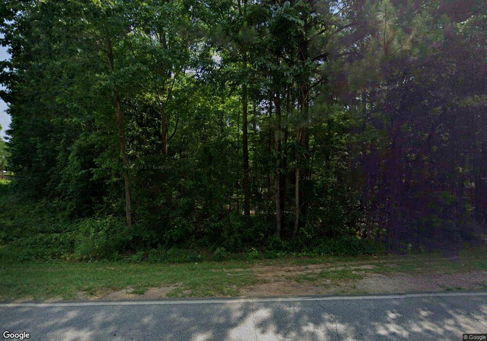
469 Keys Ferry Rd McDonough, GA 30252
Estimated Value: $316,460 - $340,000
3
Beds
2
Baths
2,201
Sq Ft
$148/Sq Ft
Est. Value
About This Home
This home is located at 469 Keys Ferry Rd, McDonough, GA 30252 and is currently estimated at $326,115, approximately $148 per square foot. 469 Keys Ferry Rd is a home located in Henry County with nearby schools including New Hope Elementary School, Ola Middle School, and Ola High School.
Ownership History
Date
Name
Owned For
Owner Type
Purchase Details
Closed on
Dec 21, 2021
Sold by
Brown Christina
Bought by
Brown Clinton
Current Estimated Value
Purchase Details
Closed on
Jul 14, 2017
Sold by
Brown Clinton S
Bought by
Brown Clinton S and Brown Christina Michelle
Home Financials for this Owner
Home Financials are based on the most recent Mortgage that was taken out on this home.
Original Mortgage
$184,848
Interest Rate
3.91%
Mortgage Type
New Conventional
Purchase Details
Closed on
Dec 12, 2002
Sold by
Manaircon Inc
Bought by
Bullard David I
Home Financials for this Owner
Home Financials are based on the most recent Mortgage that was taken out on this home.
Original Mortgage
$123,120
Interest Rate
6.01%
Mortgage Type
New Conventional
Create a Home Valuation Report for This Property
The Home Valuation Report is an in-depth analysis detailing your home's value as well as a comparison with similar homes in the area
Home Values in the Area
Average Home Value in this Area
Purchase History
| Date | Buyer | Sale Price | Title Company |
|---|---|---|---|
| Brown Clinton | -- | -- | |
| Brown Clinton S | $183,000 | -- | |
| Brown Clinton S | $183,000 | -- | |
| Bullard David I | $153,900 | -- |
Source: Public Records
Mortgage History
| Date | Status | Borrower | Loan Amount |
|---|---|---|---|
| Previous Owner | Brown Clinton S | $184,848 | |
| Previous Owner | Bullard David I | $123,120 |
Source: Public Records
Tax History Compared to Growth
Tax History
| Year | Tax Paid | Tax Assessment Tax Assessment Total Assessment is a certain percentage of the fair market value that is determined by local assessors to be the total taxable value of land and additions on the property. | Land | Improvement |
|---|---|---|---|---|
| 2025 | $3,898 | $140,000 | $15,640 | $124,360 |
| 2024 | $3,898 | $134,520 | $14,120 | $120,400 |
| 2023 | $3,405 | $135,840 | $13,600 | $122,240 |
| 2022 | $3,282 | $109,240 | $12,560 | $96,680 |
| 2021 | $2,807 | $89,160 | $10,760 | $78,400 |
| 2020 | $2,642 | $82,160 | $10,120 | $72,040 |
| 2019 | $2,531 | $77,480 | $9,600 | $67,880 |
| 2018 | $2,376 | $70,920 | $8,880 | $62,040 |
| 2016 | $681 | $58,520 | $6,920 | $51,600 |
| 2015 | $1,462 | $53,160 | $7,040 | $46,120 |
| 2014 | $1,711 | $49,120 | $7,040 | $42,080 |
Source: Public Records
Map
Nearby Homes
- 117 Floresta Dr
- 326 Dylan Way
- 2001 Jefferson Way
- 125 Floresta Dr
- 1105 Patriot Cir
- 505 Judith Ct
- 393 Stallsworth Rd
- 0 Mackey Rd Unit 10539146
- 180 Mackey Rd
- 170 Mackey Rd
- 150 Mackey Rd
- 6830 Peeksville Rd
- 304 Chusman Ct
- 146 Aubree Way
- 0 Keys Ferry Rd Unit 10362682
- 0 Keys Ferry Rd Unit 10362675
- 207 Michele Ct
- 314 Marbella Way
- 1003 Ola Dale Dr
- 530 Austin Dr
- 101 Williams Bluff
- 473 Keys Ferry Rd
- 103 Williams Bluff
- 461 Keys Ferry Rd
- 105 Williams Bluff Unit 1
- 100 Williams Bluff Unit 24
- 100 Williams Bluff
- 100 Williams Bluff Unit 1
- 459 Keys Ferry Rd
- 107 Williams Bluff Unit 1
- 104 Williams Bluff
- 536 Keys Ferry Rd
- 475 Keys Ferry Rd
- 109 Williams Bluff Unit 1
- 605 Keys Ferry Rd
- 106 Williams Bluff
- 538 Keys Ferry Rd
- 133 Williams Bluff
- 133 Williams Bluff Unit 2
- 135 Williams Bluff
