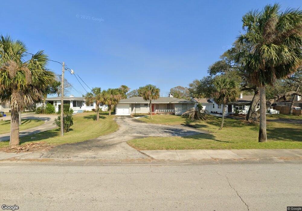
469 Riverside Dr Ormond Beach, FL 32176
Estimated Value: $303,735 - $336,000
3
Beds
2
Baths
1,304
Sq Ft
$241/Sq Ft
Est. Value
About This Home
This home is located at 469 Riverside Dr, Ormond Beach, FL 32176 and is currently estimated at $313,934, approximately $240 per square foot. 469 Riverside Dr is a home located in Volusia County with nearby schools including Ormond Beach Middle School, Seabreeze High School, and Lourdes Academy.
Ownership History
Date
Name
Owned For
Owner Type
Purchase Details
Closed on
Nov 1, 2001
Sold by
Nielan Kellie A and Morris Thomas F
Bought by
Morris Thomas F and Nielan Kellie A
Current Estimated Value
Purchase Details
Closed on
Nov 15, 1992
Bought by
Morris Thomas F
Purchase Details
Closed on
Aug 15, 1992
Bought by
Morris Thomas F
Purchase Details
Closed on
Oct 15, 1985
Bought by
Morris Thomas F
Purchase Details
Closed on
Sep 15, 1985
Bought by
Morris Thomas F
Create a Home Valuation Report for This Property
The Home Valuation Report is an in-depth analysis detailing your home's value as well as a comparison with similar homes in the area
Home Values in the Area
Average Home Value in this Area
Purchase History
| Date | Buyer | Sale Price | Title Company |
|---|---|---|---|
| Morris Thomas F | -- | -- | |
| Morris Thomas F | $83,000 | -- | |
| Morris Thomas F | $100 | -- | |
| Morris Thomas F | $100 | -- | |
| Morris Thomas F | $69,900 | -- |
Source: Public Records
Tax History
| Year | Tax Paid | Tax Assessment Tax Assessment Total Assessment is a certain percentage of the fair market value that is determined by local assessors to be the total taxable value of land and additions on the property. | Land | Improvement |
|---|---|---|---|---|
| 2026 | $4,568 | $280,775 | $167,321 | $113,454 |
| 2025 | $4,568 | $279,164 | $167,321 | $111,843 |
| 2024 | $4,109 | $285,721 | $167,321 | $118,400 |
| 2023 | $4,109 | $285,886 | $99,985 | $185,901 |
| 2022 | $3,737 | $257,326 | $76,723 | $180,603 |
| 2021 | $3,413 | $193,951 | $58,058 | $135,893 |
| 2020 | $3,134 | $181,265 | $56,318 | $124,947 |
| 2019 | $2,914 | $171,368 | $56,318 | $115,050 |
| 2018 | $2,660 | $145,806 | $51,013 | $94,793 |
| 2017 | $2,721 | $143,513 | $50,897 | $92,616 |
| 2016 | $2,559 | $129,281 | $0 | $0 |
| 2015 | $2,580 | $125,270 | $0 | $0 |
| 2014 | $2,709 | $132,624 | $0 | $0 |
Source: Public Records
Map
Nearby Homes
- 482 Riverside Dr
- 67 Ormond Shores Dr
- 2 Cypress Cir
- 601 Robin Rd Unit A
- 3 Oriole Cir Unit B
- 123 Arlington Way
- 47 Chippingwood Ln
- 11 Oriole Cir Unit A
- 46 Chippingwood Ln
- 106 Cardinal Dr Unit B
- 497 Grandview Ave
- 395 S Atlantic Ave Unit 305
- 395 S Atlantic Ave Unit 701
- 395 S Atlantic Ave Unit 301
- 395 S Atlantic Ave Unit 102
- 395 S Atlantic Ave Unit 501
- 395 S Atlantic Ave Unit 402
- 150 Benjamin Dr
- 46 Marvin Rd
- 159 Ponce de Leon Dr
- 475 Riverside Dr
- 463 Riverside Dr
- 483 Riverside Dr
- 12 Rockefeller Dr
- 468 Magnolia St
- 476 Magnolia St
- 462 Magnolia St
- 482 Magnolia St
- 489 Riverside Dr
- 476 Riverside Dr
- 468 Riverside Dr
- 24 Rockefeller Dr
- 462 Riverside Dr
- 490 Magnolia St
- 458 Riverside Dr
- 497 Riverside Dr
- 441 Riverside Dr
- 496 Magnolia St
- 17 Rockefeller Dr
- 494 Riverside Dr
Your Personal Tour Guide
Ask me questions while you tour the home.