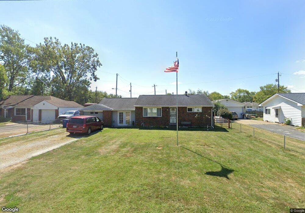
469 Rumsey Rd Columbus, OH 43207
Obetz-Lockbourne NeighborhoodEstimated Value: $150,000 - $178,000
2
Beds
1
Bath
768
Sq Ft
$210/Sq Ft
Est. Value
About This Home
This home is located at 469 Rumsey Rd, Columbus, OH 43207 and is currently estimated at $161,294, approximately $210 per square foot. 469 Rumsey Rd is a home located in Franklin County with nearby schools including Parsons Elementary School, Buckeye Middle School, and Marion-Franklin High School.
Ownership History
Date
Name
Owned For
Owner Type
Purchase Details
Closed on
May 27, 2009
Sold by
Nationstar Mortgage Llc
Bought by
Graves Richard
Current Estimated Value
Purchase Details
Closed on
Feb 12, 2009
Sold by
Devolid Patricia A and Case #08Cve03 4201
Bought by
Nationstar Mortgage Llc
Purchase Details
Closed on
Oct 20, 1999
Sold by
Cunningham Paul R
Bought by
Devolld Patricia A
Home Financials for this Owner
Home Financials are based on the most recent Mortgage that was taken out on this home.
Original Mortgage
$69,291
Interest Rate
7.91%
Mortgage Type
FHA
Purchase Details
Closed on
Nov 4, 1981
Bought by
Cunningham Paul R
Create a Home Valuation Report for This Property
The Home Valuation Report is an in-depth analysis detailing your home's value as well as a comparison with similar homes in the area
Home Values in the Area
Average Home Value in this Area
Purchase History
| Date | Buyer | Sale Price | Title Company |
|---|---|---|---|
| Graves Richard | $27,000 | Allodial | |
| Nationstar Mortgage Llc | $41,250 | Allodial | |
| Devolld Patricia A | $69,700 | -- | |
| Cunningham Paul R | -- | -- |
Source: Public Records
Mortgage History
| Date | Status | Borrower | Loan Amount |
|---|---|---|---|
| Previous Owner | Devolld Patricia A | $69,291 |
Source: Public Records
Tax History
| Year | Tax Paid | Tax Assessment Tax Assessment Total Assessment is a certain percentage of the fair market value that is determined by local assessors to be the total taxable value of land and additions on the property. | Land | Improvement |
|---|---|---|---|---|
| 2025 | $2,863 | $51,320 | $15,930 | $35,390 |
| 2024 | $2,863 | $51,320 | $15,930 | $35,390 |
| 2023 | $2,739 | $51,320 | $15,930 | $35,390 |
| 2022 | $1,781 | $23,630 | $10,610 | $13,020 |
| 2021 | $1,583 | $23,630 | $10,610 | $13,020 |
| 2020 | $1,455 | $23,630 | $10,610 | $13,020 |
| 2019 | $1,254 | $20,160 | $9,240 | $10,920 |
| 2018 | $1,320 | $20,160 | $9,240 | $10,920 |
| 2017 | $1,409 | $20,160 | $9,240 | $10,920 |
| 2016 | $1,866 | $20,830 | $3,120 | $17,710 |
| 2015 | $1,303 | $16,700 | $3,120 | $13,580 |
| 2014 | $1,035 | $16,700 | $3,120 | $13,580 |
| 2013 | $537 | $17,570 | $3,290 | $14,280 |
Source: Public Records
Map
Nearby Homes
- 3380 Parsons Ave
- 691 Colton Rd
- 1633-1635 E Greenway Ave
- 562 Ashwood Rd
- 435 Carolann Ave
- 525 Ashwood Rd
- 135 Rumsey Rd
- 780 Basswood Rd
- 460 Coulter Ave
- 0 Williams Rd
- 577 Barcher Rd
- 245 Marilla Rd
- 3302 Hilock Place
- 860 Basswood Rd
- 228 Currier Dr
- 83 Rumsey Rd
- 3251 Hilock Ct
- 484 Cedarwood Rd
- 211 Delaney Dr
- 381 Chatterly Ln
Your Personal Tour Guide
Ask me questions while you tour the home.