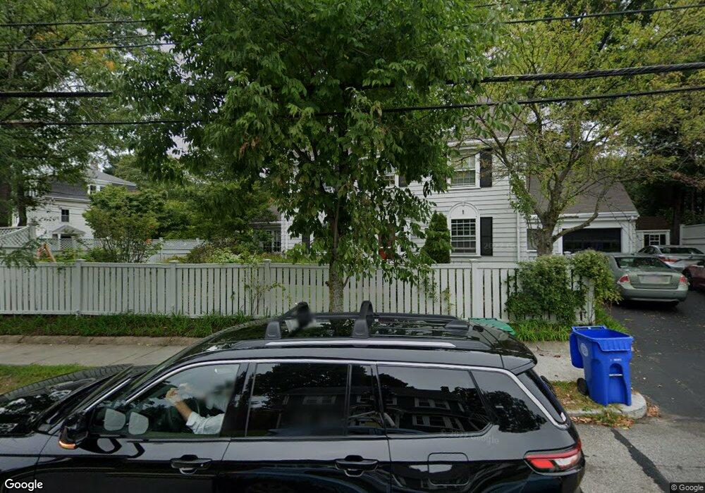
469 Wolcott St Auburndale, MA 02466
Auburndale NeighborhoodEstimated Value: $1,303,000 - $1,675,000
5
Beds
4
Baths
2,012
Sq Ft
$711/Sq Ft
Est. Value
About This Home
This home is located at 469 Wolcott St, Auburndale, MA 02466 and is currently estimated at $1,430,230, approximately $710 per square foot. 469 Wolcott St is a home located in Middlesex County with nearby schools including C.C. Burr, F.A. Day Middle School, and Newton North High School.
Ownership History
Date
Name
Owned For
Owner Type
Purchase Details
Closed on
Nov 29, 2022
Sold by
Goldberg Kenneth L and Neumann Judith M
Bought by
M Neumann T J
Current Estimated Value
Purchase Details
Closed on
May 25, 1989
Sold by
Harrison John
Bought by
Goldberg Kenneth
Create a Home Valuation Report for This Property
The Home Valuation Report is an in-depth analysis detailing your home's value as well as a comparison with similar homes in the area
Home Values in the Area
Average Home Value in this Area
Purchase History
| Date | Buyer | Sale Price | Title Company |
|---|---|---|---|
| M Neumann T J | -- | None Available | |
| Goldberg Kenneth | $267,500 | -- |
Source: Public Records
Mortgage History
| Date | Status | Borrower | Loan Amount |
|---|---|---|---|
| Previous Owner | Goldberg Kenneth | $500,000 | |
| Previous Owner | Goldberg Kenneth | $180,000 | |
| Previous Owner | Goldberg Kenneth | $20,000 |
Source: Public Records
Tax History
| Year | Tax Paid | Tax Assessment Tax Assessment Total Assessment is a certain percentage of the fair market value that is determined by local assessors to be the total taxable value of land and additions on the property. | Land | Improvement |
|---|---|---|---|---|
| 2025 | $10,316 | $1,052,700 | $756,100 | $296,600 |
| 2024 | $9,975 | $1,022,000 | $734,100 | $287,900 |
| 2023 | $9,498 | $933,000 | $558,800 | $374,200 |
| 2022 | $9,088 | $863,900 | $517,400 | $346,500 |
| 2021 | $8,769 | $815,000 | $488,100 | $326,900 |
| 2020 | $8,509 | $815,000 | $488,100 | $326,900 |
| 2019 | $8,269 | $791,300 | $473,900 | $317,400 |
| 2018 | $7,846 | $725,100 | $426,900 | $298,200 |
| 2017 | $7,524 | $676,600 | $402,700 | $273,900 |
| 2016 | $7,196 | $632,300 | $376,400 | $255,900 |
| 2015 | $6,860 | $590,900 | $351,800 | $239,100 |
Source: Public Records
Map
Nearby Homes
- 232 Melrose St Unit 2
- 10 Higgins St
- 283 Melrose St
- 226 Auburn St Unit 226
- 194 Auburn St
- 194 Auburn St Unit 2
- 2202 Commonwealth Ave Unit 1
- 305 Webster St Unit 2
- 160 Pine St Unit 15
- 160 Pine St Unit 12
- 1917 Commonwealth Ave Unit 1917
- 49 Staniford St
- 17 Lasell St
- 7 Sharon Ave Unit 7
- 12 Oakwood Rd
- 8 Curve St
- 0 Duncan Rd Unit 72925240
- 101-103 Lexington St
- 214 River St Unit 214
- 1754 Washington St
- 388 Lexington St
- 461 Wolcott St
- 472 Wolcott St
- 382 Lexington St
- 391 Lexington St
- 406 Lexington St
- 464 Wolcott St
- 457 Wolcott St
- 395 Lexington St
- 395 Lexington St Unit 5-bed
- 395 Lexington St
- 395 Lexington St Unit 1
- 395 Lexington St Unit 2
- 376 Lexington St
- 376 Lexington St Unit 376
- 393 Lexington St
- 393 Lexington St
- 393 Lexington St Unit 2
- 2085 Commonwealth Ave
- 2085 Commonwealth Ave Unit 26
Your Personal Tour Guide
Ask me questions while you tour the home.