Estimated Value: $174,901 - $347,000
3
Beds
2
Baths
1,010
Sq Ft
$242/Sq Ft
Est. Value
About This Home
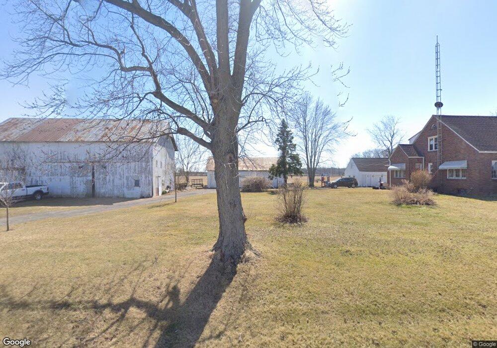
This home is located at 4690 State Route 81, Ada, OH 45810 and is currently estimated at $244,725, approximately $242 per square foot. 4690 State Route 81 is a home located in Hardin County with nearby schools including Ada Elementary School and Ada High School.
Ownership History
Date
Name
Owned For
Owner Type
Purchase Details
Closed on
Nov 27, 2001
Bought by
Daniels Cotta S and Daniels Jack W
Current Estimated Value
Purchase Details
Closed on
Oct 24, 1997
Bought by
James William E and James Julia
Purchase Details
Closed on
Sep 24, 1993
Bought by
Daniels Jack W and Daniels Cotta S
Create a Home Valuation Report for This Property
The Home Valuation Report is an in-depth analysis detailing your home's value as well as a comparison with similar homes in the area
Home Values in the Area
Average Home Value in this Area
Purchase History
| Date | Buyer | Sale Price | Title Company |
|---|---|---|---|
| Daniels Cotta S | $72,700 | -- | |
| James William E | $72,200 | -- | |
| Daniels Jack W | $50,000 | -- |
Source: Public Records
Tax History Compared to Growth
Tax History
| Year | Tax Paid | Tax Assessment Tax Assessment Total Assessment is a certain percentage of the fair market value that is determined by local assessors to be the total taxable value of land and additions on the property. | Land | Improvement |
|---|---|---|---|---|
| 2024 | $1,671 | $44,980 | $12,250 | $32,730 |
| 2023 | $1,671 | $44,980 | $12,250 | $32,730 |
| 2022 | $1,471 | $34,350 | $6,510 | $27,840 |
| 2021 | $1,619 | $34,350 | $6,510 | $27,840 |
| 2020 | $1,641 | $34,350 | $6,510 | $27,840 |
| 2019 | $1,481 | $31,370 | $6,300 | $25,070 |
| 2018 | $1,448 | $31,370 | $6,300 | $25,070 |
| 2017 | $1,410 | $31,370 | $6,300 | $25,070 |
| 2016 | $1,415 | $33,240 | $5,780 | $27,460 |
| 2015 | $1,389 | $33,240 | $5,780 | $27,460 |
| 2014 | $1,381 | $33,240 | $5,780 | $27,460 |
| 2013 | $1,469 | $33,440 | $5,780 | $27,660 |
Source: Public Records
Map
Nearby Homes
- 444 Edwards St Unit A, B
- 444 Edwards St Unit 2
- 442 Edwards St
- 212 N Simon St
- 308-310 S Simon St
- 314 E University Ave
- 629 N Main St
- 211 S Main St
- 128 W North Ave
- 301 S Main St
- 210 N Gilbert St
- 211 W Buckeye Ave Unit 211 1/2
- 710 S Main St
- 4071 Township Road 35
- 2864 Ohio 309
- 3931 County Road 80
- 3769 County Road 304
- 22694 County Road 12
- 9224 County Road 14
- 900 N Front St
- 4537 State Route 81
- 4537 State Route 81
- 4912 State Route 81
- 4474 State Route 81
- 2939 County Road 65
- N/A St Route
- 4537 Sr
- 2810 County Road 65
- 3182 County Road 65
- 2810 Cr
- 4268 State Route 81
- 4823 County Road 44
- 4577 County Road 44
- 4236 State Route 81
- 5187 State Route 81
- 4887 County Road 44
- 4981 County Road 44
- 320 Township Road 89
- 4172 State Route 81