4690 York River Rd Ramseur, NC 27316
Estimated Value: $322,000 - $432,777
--
Bed
--
Bath
1,800
Sq Ft
$212/Sq Ft
Est. Value
About This Home
This home is located at 4690 York River Rd, Ramseur, NC 27316 and is currently estimated at $380,926, approximately $211 per square foot. 4690 York River Rd is a home with nearby schools including Ramseur Elementary School, Southeastern Randolph Middle School, and Eastern Randolph High School.
Ownership History
Date
Name
Owned For
Owner Type
Purchase Details
Closed on
Sep 12, 2023
Sold by
Sparks Sue S
Bought by
Rollins William Dewey and Rollins Denise Irene
Current Estimated Value
Purchase Details
Closed on
Jul 25, 2014
Sold by
Rollins Max B
Bought by
Sparks Sue S
Purchase Details
Closed on
Mar 24, 2010
Sold by
Rollins William Dewey
Bought by
Sparks Sue S
Purchase Details
Closed on
Mar 13, 1992
Bought by
Sparks Sue
Create a Home Valuation Report for This Property
The Home Valuation Report is an in-depth analysis detailing your home's value as well as a comparison with similar homes in the area
Home Values in the Area
Average Home Value in this Area
Purchase History
| Date | Buyer | Sale Price | Title Company |
|---|---|---|---|
| Rollins William Dewey | -- | None Listed On Document | |
| Rollins William Dewey | -- | None Listed On Document | |
| Sparks Sue S | -- | None Available | |
| Sparks Sue S | -- | None Available | |
| Sparks Sue | $28,000 | -- |
Source: Public Records
Tax History Compared to Growth
Tax History
| Year | Tax Paid | Tax Assessment Tax Assessment Total Assessment is a certain percentage of the fair market value that is determined by local assessors to be the total taxable value of land and additions on the property. | Land | Improvement |
|---|---|---|---|---|
| 2025 | $2,051 | $320,420 | $99,270 | $221,150 |
| 2024 | $2,051 | $320,420 | $99,270 | $221,150 |
| 2023 | $2,051 | $320,420 | $99,270 | $221,150 |
| 2022 | $1,787 | $231,270 | $76,310 | $154,960 |
| 2021 | $1,787 | $231,270 | $76,310 | $154,960 |
| 2020 | $1,741 | $231,270 | $76,310 | $154,960 |
| 2019 | $1,201 | $159,530 | $76,310 | $83,220 |
| 2018 | $802 | $103,870 | $67,330 | $36,540 |
| 2016 | $520 | $67,330 | $67,330 | $0 |
| 2015 | $508 | $67,330 | $67,330 | $0 |
| 2014 | -- | $67,330 | $67,330 | $0 |
Source: Public Records
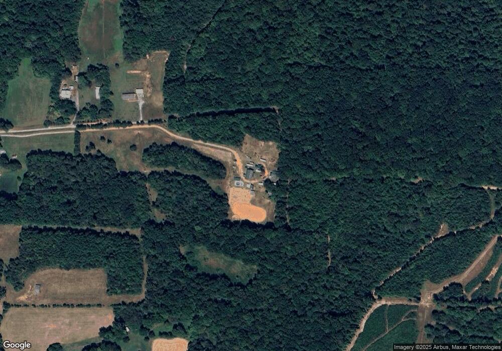
Map
Nearby Homes
- 4319 Young Rd
- 2110 Newell St
- 1001 Meadowood Dr
- 2050 Welborn Cir
- 545 Coleridge Rd
- 5182 Foushee Rd
- 3875 Sycamore Trail
- 321 Coleridge Rd
- 715 Liberty St
- 324 Elam Ave
- 5713 Us Highway 64 E
- 507 Columbia Ave
- 309 Elam Ave
- 1802 Grantville Ln Unit 17
- 1802 Grantville Ln Unit 53
- 0 State Highway 49
- 4650 Huntingwood Rd
- 4737 Huntingwood Rd
- 7187 Jordan Rd
- 4659 Huntingwood Rd
- 4679 York River Rd
- 1471 Mill Creek Rd
- 4693 York River Rd
- 1443 Mill Creek Rd
- 1365 Mill Creek Rd
- 1579 Mill Creek Rd
- 4573 York River Rd
- 1687 Mill Creek Rd
- 1594 Mill Creek Rd
- 1594 Mill Creek
- 1358 Mill Creek Rd
- 1669 Mill Creek Rd
- 4507 York River Rd
- 4556 Holly Leaf Rd
- 4517 Holly Leaf Rd
- 1162 Mill Creek Rd
- 1159 Mill Creek Rd
- 1327 Park Rd
- 1142 Mill Creek Rd
- 1353 Park Rd