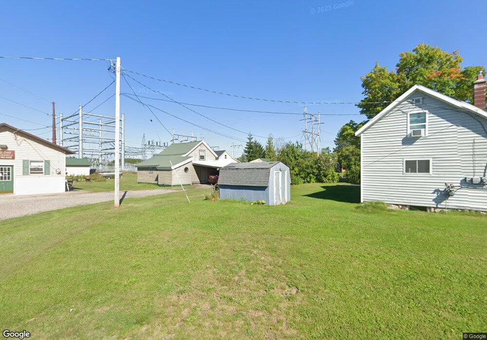
46908 Edwards St Atlantic Mine, MI 49905
Estimated Value: $146,228 - $175,000
3
Beds
1
Bath
1,575
Sq Ft
$102/Sq Ft
Est. Value
About This Home
This home is located at 46908 Edwards St, Atlantic Mine, MI 49905 and is currently estimated at $161,076, approximately $102 per square foot. 46908 Edwards St is a home located in Houghton County with nearby schools including South Range Elementary School and Jeffers High School.
Ownership History
Date
Name
Owned For
Owner Type
Purchase Details
Closed on
Sep 11, 2017
Sold by
Hamilton Jonathan B and Hamilton Stephanie E
Bought by
Zerbst Matthew M
Current Estimated Value
Home Financials for this Owner
Home Financials are based on the most recent Mortgage that was taken out on this home.
Original Mortgage
$62,100
Outstanding Balance
$51,900
Interest Rate
3.93%
Mortgage Type
New Conventional
Estimated Equity
$109,176
Purchase Details
Closed on
Jun 1, 2009
Sold by
Hamilton Jonathan B and Hamilton Stephanie E
Bought by
Hamilton Jonathon B and Hamilton Stephanie E
Create a Home Valuation Report for This Property
The Home Valuation Report is an in-depth analysis detailing your home's value as well as a comparison with similar homes in the area
Home Values in the Area
Average Home Value in this Area
Purchase History
| Date | Buyer | Sale Price | Title Company |
|---|---|---|---|
| Zerbst Matthew M | $69,000 | Copper Range Abs & Title | |
| Hamilton Jonathon B | $59,300 | -- |
Source: Public Records
Mortgage History
| Date | Status | Borrower | Loan Amount |
|---|---|---|---|
| Open | Zerbst Matthew M | $62,100 |
Source: Public Records
Tax History Compared to Growth
Tax History
| Year | Tax Paid | Tax Assessment Tax Assessment Total Assessment is a certain percentage of the fair market value that is determined by local assessors to be the total taxable value of land and additions on the property. | Land | Improvement |
|---|---|---|---|---|
| 2025 | $1,378 | $60,370 | $0 | $0 |
| 2024 | $1,068 | $50,742 | $0 | $0 |
| 2023 | $1,018 | $46,914 | $0 | $0 |
| 2022 | $1,220 | $41,578 | $0 | $0 |
| 2021 | $1,197 | $34,638 | $0 | $0 |
| 2020 | $1,182 | $33,966 | $0 | $0 |
| 2019 | $1,177 | $34,007 | $0 | $0 |
| 2018 | $1,148 | $33,016 | $0 | $0 |
| 2017 | $815 | $31,692 | $0 | $0 |
| 2016 | -- | $30,745 | $0 | $0 |
| 2015 | -- | $30,721 | $0 | $0 |
| 2014 | -- | $29,166 | $0 | $0 |
Source: Public Records
Map
Nearby Homes
- 46882 Naumkeg St
- 47474 Huron St
- TBD Huron St
- 52275 N Superior Rd
- 17970 Spring Brook Ln
- 47302 Janovosky Rd
- 2103 Balsam Ln
- TBD-undeveloped Oak Ridge Ln
- 1906 White Oak Ln
- 1905 Poplar Dr
- 68 4th St
- 19426 Copper Ridge Rd
- 46396 Maple St
- 1506 Sugar Maple Ln
- 1504 Sugar Maple Ln
- 46538 Main St
- TBD32 Houghton Canal Rd
- TBD Razorback Dr Unit Part of Lot 22, Enti
- 1607 W Quincy St
- TBD A B C Navy Stream
- 46908 Edwards St Unit 91
- 46881 Edwards St
- 46901 Erickson Dr
- 46880 Edwards St
- 46877 Erickson Dr
- 46903 Huron St
- 46886 Huron St
- 46925 Huron St
- 46917 Naumkeg Rd
- 46843 Erickson Dr
- 46863 Naumkeg Rd
- 46889 Huron St
- 46986 Naumkeg Rd
- 46927 Naumkeg Rd
- 46926 Naumkeg Rd
- 46917 Naumkeg Rd
- 46805 Erickson Dr
- 46824 Erickson Dr
- 47016 Huron St
- 47442 Huron