4691 Mccord St Springfield, OH 45503
Estimated Value: $421,877 - $543,000
4
Beds
3
Baths
2,830
Sq Ft
$171/Sq Ft
Est. Value
About This Home
This home is located at 4691 Mccord St, Springfield, OH 45503 and is currently estimated at $484,219, approximately $171 per square foot. 4691 Mccord St is a home located in Clark County with nearby schools including Rolling Hills Elementary School, Northridge Middle School, and Kenton Ridge Middle & High School.
Ownership History
Date
Name
Owned For
Owner Type
Purchase Details
Closed on
Oct 23, 2017
Sold by
Kenter William M and Kenter Sandra S
Bought by
Hill Larry K and Hill Monica M
Current Estimated Value
Purchase Details
Closed on
Jul 28, 2006
Sold by
Hoppes Builders & Development Co
Bought by
Kentner William M and Kentner Sandra S
Create a Home Valuation Report for This Property
The Home Valuation Report is an in-depth analysis detailing your home's value as well as a comparison with similar homes in the area
Home Values in the Area
Average Home Value in this Area
Purchase History
| Date | Buyer | Sale Price | Title Company |
|---|---|---|---|
| Hill Larry K | $302,500 | Ohio Real Estate Title Hold | |
| Kentner William M | $40,900 | None Available |
Source: Public Records
Tax History Compared to Growth
Tax History
| Year | Tax Paid | Tax Assessment Tax Assessment Total Assessment is a certain percentage of the fair market value that is determined by local assessors to be the total taxable value of land and additions on the property. | Land | Improvement |
|---|---|---|---|---|
| 2024 | $4,590 | $117,700 | $22,000 | $95,700 |
| 2023 | $4,590 | $117,700 | $22,000 | $95,700 |
| 2022 | $4,624 | $117,700 | $22,000 | $95,700 |
| 2021 | $4,500 | $98,600 | $17,190 | $81,410 |
| 2020 | $4,503 | $98,600 | $17,190 | $81,410 |
| 2019 | $4,589 | $98,600 | $17,190 | $81,410 |
| 2018 | $4,308 | $80,950 | $14,970 | $65,980 |
| 2017 | $3,293 | $82,429 | $14,973 | $67,456 |
| 2016 | $3,270 | $82,429 | $14,973 | $67,456 |
| 2015 | $3,103 | $81,715 | $14,259 | $67,456 |
| 2014 | $3,103 | $81,715 | $14,259 | $67,456 |
| 2013 | $3,031 | $81,715 | $14,259 | $67,456 |
Source: Public Records
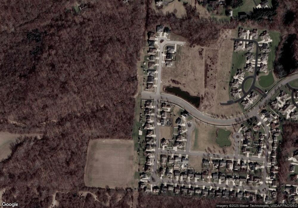
Map
Nearby Homes
- 593 Hiser Ave
- 794 Donnelly Ave
- 4514 Dowden St
- 916 Sawmill Ct
- 880 Brendle Trace Unit 28
- 970 Forest Edge Ave
- 4712 Cullen Ave
- 4109 Derr Rd
- 4622 W Ridgewood Rd
- 1139 Greenoak Ct
- 1461 Student Ave
- 5127 Stoneridge Dr
- 4446 Ridgewood Rd E Unit 3
- 5249 Taywell Dr
- 4512 Ridgewood Rd E
- 1162 Kingsgate Rd
- 4740 Merrimont Ave
- 4673 Mccord St
- 4655 Mccord St
- 4731 Mccord Cir W
- 4686 Mccord St
- 4668 Mccord St
- 4637 Mccord St
- 4737 Mccord Cir W
- 4652 Mccord St
- 4619 Mccord St
- 4630 Mccord St
- 4743 Mccord Cir W
- 4651 Antrim Ln
- 4601 Mccord St
- 4612 Mccord St
- 4749 Mccord Cir W
- 4633 Antrim Ln
- 4655 Antrim Ln
- 4583 Mccord St
- 4594 Mccord St
- 4752 Mccord St