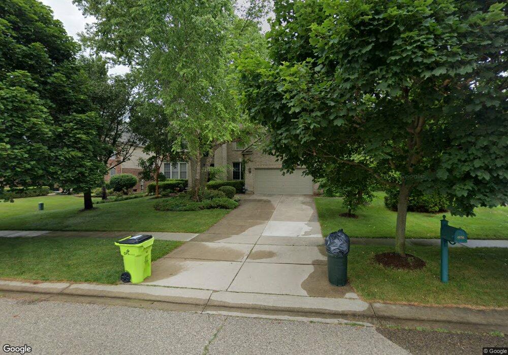
4694 Northridge Dr Unit 36 West Bloomfield, MI 48323
Estimated Value: $599,879 - $737,000
4
Beds
4
Baths
2,918
Sq Ft
$228/Sq Ft
Est. Value
About This Home
This home is located at 4694 Northridge Dr Unit 36, West Bloomfield, MI 48323 and is currently estimated at $665,720, approximately $228 per square foot. 4694 Northridge Dr Unit 36 is a home located in Oakland County with nearby schools including Walled Lake Central High School, St. Matthew Lutheran School, and St. William School.
Ownership History
Date
Name
Owned For
Owner Type
Purchase Details
Closed on
May 29, 2003
Sold by
Munger Ronald J and Munger Donna L
Bought by
Kadambi Srinath R and Kadambi Jyothi A
Current Estimated Value
Purchase Details
Closed on
Jun 30, 1999
Sold by
Pulte Land Dev Corp
Bought by
Munger Ronald J
Home Financials for this Owner
Home Financials are based on the most recent Mortgage that was taken out on this home.
Original Mortgage
$240,000
Interest Rate
7.68%
Create a Home Valuation Report for This Property
The Home Valuation Report is an in-depth analysis detailing your home's value as well as a comparison with similar homes in the area
Home Values in the Area
Average Home Value in this Area
Purchase History
| Date | Buyer | Sale Price | Title Company |
|---|---|---|---|
| Kadambi Srinath R | $433,950 | Metropolitan Title Company | |
| Munger Ronald J | $102,000 | -- |
Source: Public Records
Mortgage History
| Date | Status | Borrower | Loan Amount |
|---|---|---|---|
| Previous Owner | Munger Ronald J | $240,000 |
Source: Public Records
Tax History Compared to Growth
Tax History
| Year | Tax Paid | Tax Assessment Tax Assessment Total Assessment is a certain percentage of the fair market value that is determined by local assessors to be the total taxable value of land and additions on the property. | Land | Improvement |
|---|---|---|---|---|
| 2024 | $3,257 | $216,370 | $0 | $0 |
| 2022 | $3,070 | $201,130 | $20,000 | $181,130 |
| 2021 | $5,055 | $190,540 | $0 | $0 |
| 2020 | $3,034 | $188,390 | $20,000 | $168,390 |
| 2018 | $4,914 | $175,010 | $20,000 | $155,010 |
| 2015 | -- | $155,040 | $0 | $0 |
| 2014 | -- | $141,580 | $0 | $0 |
| 2011 | -- | $124,070 | $0 | $0 |
Source: Public Records
Map
Nearby Homes
- 6980 Hambro St
- 7359 Woodlore Dr
- 4335 Crestdale Ave
- 7381 Crestmore St
- 4245 Bunker Ave
- 4442 Borland St
- 4212 Greendale Ave
- 7337 Richardson Rd
- 7065 Deerwood Trail Unit 27
- 7555 Windgate Cir
- 4540 Rolling Pine Ct
- 6978 Colony Dr
- 4066 Green Lake Rd
- 7841 Trailside Ct
- 0000 Langtoft
- 6675 Langtoft St
- 3991 Fieldview Ave
- 7230 Walnut Lake Rd
- 6903 Dandison Blvd
- 3965 Carrick Ave
- 4682 Northridge Dr
- 4706 Northridge Dr Unit 35
- 4521 Twin Beach Ct
- 4670 Northridge Dr
- 4519 Twin Beach Ct
- 5156 Park Ridge Dr
- 7138 Woodlore Ct Unit 27
- 5144 Park Ridge Dr
- 7126 Woodlore Ct Unit 28
- 4658 Northridge Dr Unit Bldg-Unit
- 4658 Northridge Dr Unit 39
- 5168 Park Ridge Dr
- 5180 Park Ridge Dr
- 7114 Woodlore Ct
- 7150 Woodlore Dr
- 4646 Northridge Dr
- 4522 Twin Beach Ct
- 7102 Woodlore Ct
- 4515 Twin Beach Ct
- 5192 Park Ridge Dr