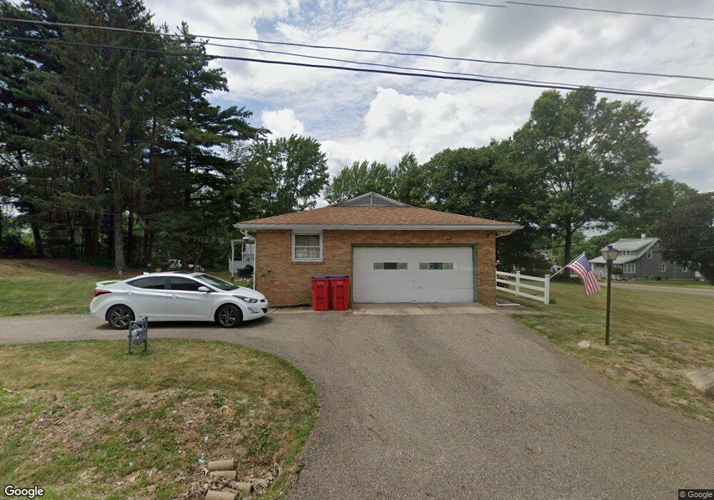
4695 Hyland Ave Louisville, OH 44641
Estimated Value: $225,000 - $241,000
3
Beds
2
Baths
1,568
Sq Ft
$149/Sq Ft
Est. Value
About This Home
This home is located at 4695 Hyland Ave, Louisville, OH 44641 and is currently estimated at $233,368, approximately $148 per square foot. 4695 Hyland Ave is a home located in Stark County with nearby schools including Louisville High School and St. Thomas Aquinas High School & Middle School.
Ownership History
Date
Name
Owned For
Owner Type
Purchase Details
Closed on
Jun 27, 2008
Sold by
Dewalt Wilma M
Bought by
Dewalt Michael L and Dewalt Nicole L
Current Estimated Value
Home Financials for this Owner
Home Financials are based on the most recent Mortgage that was taken out on this home.
Original Mortgage
$129,412
Interest Rate
6.05%
Mortgage Type
FHA
Create a Home Valuation Report for This Property
The Home Valuation Report is an in-depth analysis detailing your home's value as well as a comparison with similar homes in the area
Home Values in the Area
Average Home Value in this Area
Purchase History
| Date | Buyer | Sale Price | Title Company |
|---|---|---|---|
| Dewalt Michael L | $150,000 | Attorney |
Source: Public Records
Mortgage History
| Date | Status | Borrower | Loan Amount |
|---|---|---|---|
| Closed | Dewalt Michael L | $129,412 |
Source: Public Records
Tax History Compared to Growth
Tax History
| Year | Tax Paid | Tax Assessment Tax Assessment Total Assessment is a certain percentage of the fair market value that is determined by local assessors to be the total taxable value of land and additions on the property. | Land | Improvement |
|---|---|---|---|---|
| 2025 | -- | $74,170 | $14,630 | $59,540 |
| 2024 | -- | $74,170 | $14,630 | $59,540 |
| 2023 | $2,545 | $52,360 | $10,360 | $42,000 |
| 2022 | $2,552 | $52,360 | $10,360 | $42,000 |
| 2021 | $2,559 | $52,360 | $10,360 | $42,000 |
| 2020 | $2,132 | $46,100 | $9,350 | $36,750 |
| 2019 | $2,141 | $46,100 | $9,350 | $36,750 |
| 2018 | $2,134 | $46,100 | $9,350 | $36,750 |
| 2017 | $2,108 | $43,470 | $8,750 | $34,720 |
| 2016 | $2,061 | $43,470 | $8,750 | $34,720 |
| 2015 | $2,067 | $43,470 | $8,750 | $34,720 |
| 2014 | $1,950 | $37,940 | $7,630 | $30,310 |
| 2013 | $979 | $37,940 | $7,630 | $30,310 |
Source: Public Records
Map
Nearby Homes
- 2015 E Main St
- 1812 E Broad St
- 1413 Washington Blvd
- 0 Michigan Blvd
- 2110 Edmar St
- 5495 Meese Rd NE
- 308 Superior St
- 520 S Silver St
- 910 Crosswyck Cir
- 728 E Broad St
- 8896 Rue Helena St
- 325 Lincoln Ave
- 3390 Meese Rd NE
- 6052 N Nickelplate St
- 210 E Gorgas St
- 344 E Reno Dr
- 316 E Reno Dr
- 204 E Broad St
- 107 E Broad St
- 428 Honeycrisp Dr NE
- 8950 Louisville St
- 8933 Louisville St
- 8914 Louisville St
- 4660 Hyland Ave
- 8949 Louisville St
- 8901 Louisville St
- 8976 Louisville St
- 4671 Hyland Ave
- 8885 Louisville St
- 8888 Louisville St
- 8994 Louisville St
- 4640 Hyland Ave
- 8995 Louisville St
- 8995 Louisville St
- 8874 Louisville St
- 8871 Louisville St
- 8855 Louisville St
- 4621 Hyland Ave
- 9022 Louisville St
- 9020 Louisville St