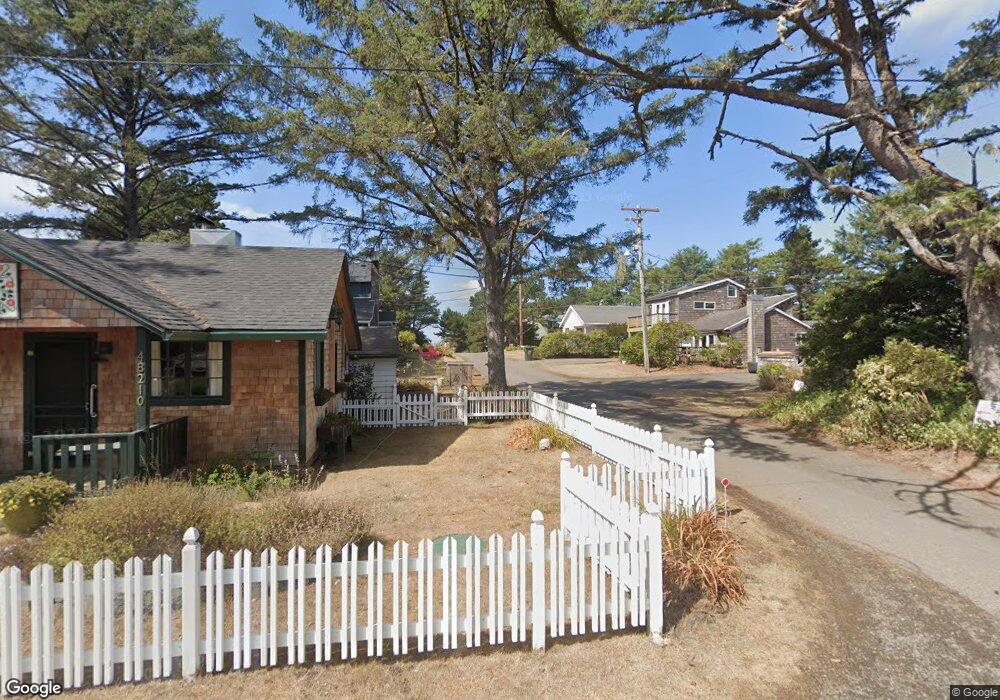
46950 Hawk Dr Neskowin, OR 97149
Estimated Value: $944,310 - $989,000
5
Beds
2
Baths
1,357
Sq Ft
$706/Sq Ft
Est. Value
About This Home
This home is located at 46950 Hawk Dr, Neskowin, OR 97149 and is currently estimated at $958,578, approximately $706 per square foot. 46950 Hawk Dr is a home with nearby schools including Nestucca K-8 School and Nestucca High School.
Ownership History
Date
Name
Owned For
Owner Type
Purchase Details
Closed on
Mar 24, 2025
Sold by
Boothe Thomas S and Ellison Barbara
Bought by
Hawk Street House Llc
Current Estimated Value
Purchase Details
Closed on
Mar 4, 2025
Sold by
Dorothy S Boothe Trust and Boothe Thomas Stephenson
Bought by
Ellison Barbara B and Boothe Thomas S
Purchase Details
Closed on
Jun 27, 2018
Sold by
Boothe Dorothy S
Bought by
Boothe Dorothy S and The Dorothy S Boothe Trust
Create a Home Valuation Report for This Property
The Home Valuation Report is an in-depth analysis detailing your home's value as well as a comparison with similar homes in the area
Home Values in the Area
Average Home Value in this Area
Purchase History
| Date | Buyer | Sale Price | Title Company |
|---|---|---|---|
| Hawk Street House Llc | $955,270 | None Listed On Document | |
| Ellison Barbara B | $955,270 | First American Title | |
| Boothe Dorothy S | -- | None Available |
Source: Public Records
Tax History Compared to Growth
Tax History
| Year | Tax Paid | Tax Assessment Tax Assessment Total Assessment is a certain percentage of the fair market value that is determined by local assessors to be the total taxable value of land and additions on the property. | Land | Improvement |
|---|---|---|---|---|
| 2024 | $8,250 | $669,470 | $409,160 | $260,310 |
| 2023 | $8,270 | $649,980 | $397,250 | $252,730 |
| 2022 | $7,975 | $631,050 | $385,680 | $245,370 |
| 2021 | $7,750 | $612,670 | $374,450 | $238,220 |
| 2020 | $7,556 | $594,830 | $363,550 | $231,280 |
| 2019 | $7,397 | $577,510 | $352,970 | $224,540 |
| 2018 | $6,826 | $560,690 | $342,690 | $218,000 |
| 2017 | $6,144 | $544,360 | $332,710 | $211,650 |
| 2016 | $5,656 | $528,510 | $323,020 | $205,490 |
| 2015 | $5,846 | $513,120 | $313,620 | $199,500 |
| 2014 | $5,707 | $498,180 | $304,490 | $193,690 |
| 2013 | -- | $483,670 | $295,620 | $188,050 |
Source: Public Records
Map
Nearby Homes
- TL48 Vanora Unit LOT 48
- TL46 Vanora St Unit LOT 46
- TL47 Vanora St Unit LOT 47
- V/L 6500 Hill Crest Dr
- 46995 Beach Crest Dr
- 48250 Hawk St
- 6600 Schoolhouse Rd
- 4850 Schoolhouse Rd
- 57 Surfview Dr
- 57 Surf View Dr
- 46615 Highway 101 S
- TL54 Pelican Point Unit Lot 54
- TL52 Pelican Point Unit Lot 52
- TL51 Pelican Point Unit 51
- TL53 Pelican Point Unit Lot 53
- Lot 60 Valhalla Dr
- Lot 61 Valhalla Dr
- 0 Pelican Point Unit 51 423886857
- 0 Pelican Point Unit 53 656740579
- 0 Pelican Point Unit 52 386403533