Estimated Value: $703,000
--
Bed
1
Bath
1,823
Sq Ft
$386/Sq Ft
Est. Value
About This Home
This home is located at 4697 Airline Rd, Pavo, GA 31778 and is currently priced at $703,000, approximately $385 per square foot. 4697 Airline Rd is a home located in Thomas County with nearby schools including Hand in Hand Primary School, Garrison-Pilcher Elementary School, and Cross Creek Elementary School.
Ownership History
Date
Name
Owned For
Owner Type
Purchase Details
Closed on
Mar 27, 2018
Sold by
Bozeman Cecil H
Bought by
Bozeman Tommy Wayne
Current Estimated Value
Purchase Details
Closed on
Mar 26, 2018
Sold by
Bozeman Cecil H
Bought by
Smith Allen L
Purchase Details
Closed on
Feb 14, 2017
Sold by
Bozeman Cecil
Bought by
Jones Jessica S and Smith Alan Lamar
Purchase Details
Closed on
Feb 28, 1985
Bought by
Bozeman Cecil
Create a Home Valuation Report for This Property
The Home Valuation Report is an in-depth analysis detailing your home's value as well as a comparison with similar homes in the area
Home Values in the Area
Average Home Value in this Area
Purchase History
| Date | Buyer | Sale Price | Title Company |
|---|---|---|---|
| Bozeman Tommy Wayne | -- | -- | |
| Smith Allen L | -- | -- | |
| Smith Thomas Vann | -- | -- | |
| Jones Jessica S | -- | -- | |
| Bozeman Cecil | $85,000 | -- |
Source: Public Records
Tax History Compared to Growth
Tax History
| Year | Tax Paid | Tax Assessment Tax Assessment Total Assessment is a certain percentage of the fair market value that is determined by local assessors to be the total taxable value of land and additions on the property. | Land | Improvement |
|---|---|---|---|---|
| 2024 | $2,352 | $346,955 | $315,209 | $31,746 |
| 2023 | $2,246 | $326,746 | $295,119 | $31,627 |
| 2022 | $2,410 | $325,885 | $295,119 | $30,766 |
| 2021 | $2,200 | $270,914 | $256,444 | $14,470 |
| 2020 | $2,203 | $270,926 | $256,444 | $14,482 |
| 2019 | $2,164 | $270,536 | $256,444 | $14,092 |
| 2018 | $3,388 | $350,929 | $311,089 | $39,840 |
| 2017 | $3,331 | $350,941 | $311,089 | $39,852 |
| 2016 | $2,668 | $424,406 | $382,162 | $42,244 |
| 2015 | $2,757 | $427,948 | $382,162 | $45,786 |
| 2014 | $2,709 | $427,414 | $382,162 | $45,252 |
| 2013 | -- | $427,413 | $382,162 | $45,251 |
Source: Public Records
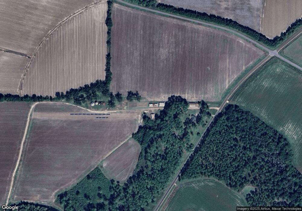
Map
Nearby Homes
- 13876 Ga Highway 122
- 813 Vonier Road (6 Acres)
- 1230 Parrish Rd
- 3812 Ponder Rd
- 16343 Ga Hwy 33 - 8 34 Acres Hwy
- 16343 Georgia 33
- 16343 Ga Hwy 33 -8 34 Acres
- 16343
- 2051 W Pear St
- 2055 S Roberts St
- 110 Nicole Britt Dr
- 203 Bailey Cir
- 201 Bailey Cir
- 101 Bailey Cir
- 7921 Five Forks Rd
- 21688 U S 319
- 21688 US Highway 319 N
- 4651 Airline Rd
- 4440 Airline Rd
- 1670 Harts Mill Rd
- 1704 Harts Mill Rd
- 5447 Airline Rd
- 4208 Airline Rd
- 1804 Harts Mill Rd
- 1852 Harts Mill Rd
- 1873 Harts Mill Rd
- 1864 Harts Mill Rd
- 218 Redding Rd
- 1940 Harts Mill Rd
- 260 Redding Rd
- 255 Redding Rd
- 2036 Harts Mill Rd
- 3478 Patten Coolidge Rd
- 2051 Harts Mill Rd
- 5787 Airline Rd
- 1221 Antioch Church Rd
- 1091 Antioch Church Rd