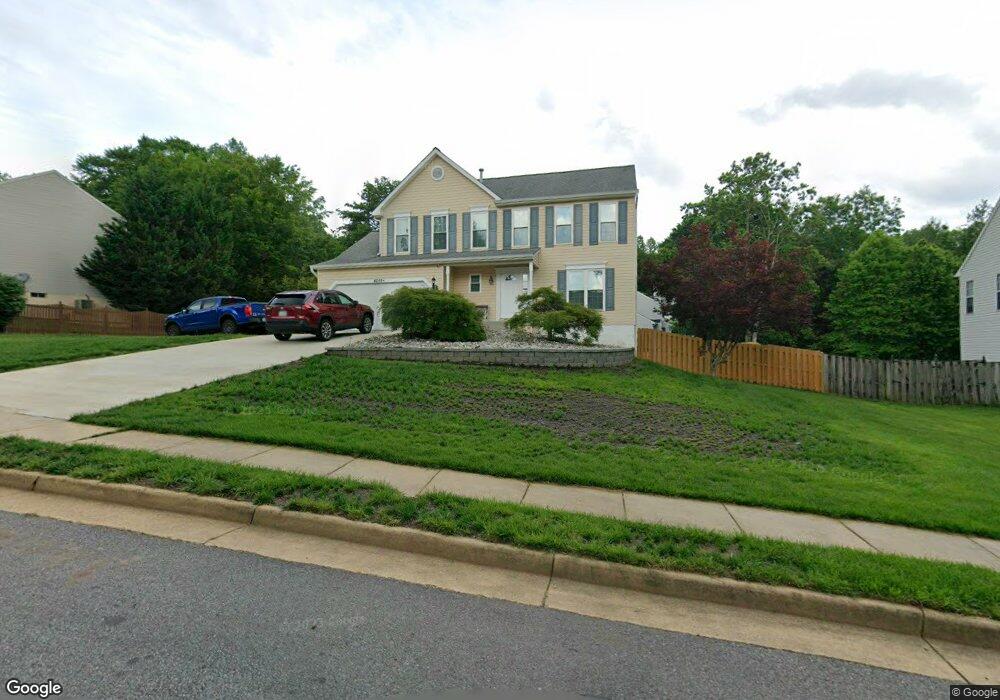
4699 Pearson Dr Woodbridge, VA 22193
Lindendale NeighborhoodEstimated Value: $555,000 - $657,000
4
Beds
3
Baths
2,128
Sq Ft
$294/Sq Ft
Est. Value
About This Home
This home is located at 4699 Pearson Dr, Woodbridge, VA 22193 and is currently estimated at $625,918, approximately $294 per square foot. 4699 Pearson Dr is a home located in Prince William County with nearby schools including Enterprise Elementary School, C.D. Hylton High School, and Stuart M. Beville Middle School.
Ownership History
Date
Name
Owned For
Owner Type
Purchase Details
Closed on
Aug 1, 1995
Sold by
Washington Homes Inc Of Va
Bought by
Gulledge Margaret A
Current Estimated Value
Home Financials for this Owner
Home Financials are based on the most recent Mortgage that was taken out on this home.
Original Mortgage
$177,800
Interest Rate
7.56%
Create a Home Valuation Report for This Property
The Home Valuation Report is an in-depth analysis detailing your home's value as well as a comparison with similar homes in the area
Home Values in the Area
Average Home Value in this Area
Purchase History
| Date | Buyer | Sale Price | Title Company |
|---|---|---|---|
| Gulledge Margaret A | $187,210 | -- |
Source: Public Records
Mortgage History
| Date | Status | Borrower | Loan Amount |
|---|---|---|---|
| Closed | Gulledge Margaret A | $177,800 |
Source: Public Records
Tax History
| Year | Tax Paid | Tax Assessment Tax Assessment Total Assessment is a certain percentage of the fair market value that is determined by local assessors to be the total taxable value of land and additions on the property. | Land | Improvement |
|---|---|---|---|---|
| 2025 | $5,642 | $577,800 | $238,800 | $339,000 |
| 2024 | $5,642 | $567,300 | $234,100 | $333,200 |
| 2023 | $5,546 | $533,000 | $218,800 | $314,200 |
| 2022 | $5,501 | $486,400 | $198,900 | $287,500 |
| 2021 | $4,941 | $403,500 | $164,300 | $239,200 |
| 2020 | $6,309 | $407,000 | $161,100 | $245,900 |
| 2019 | $6,084 | $392,500 | $156,400 | $236,100 |
| 2018 | $4,607 | $381,500 | $150,400 | $231,100 |
| 2017 | $4,520 | $365,500 | $143,200 | $222,300 |
| 2016 | $4,640 | $379,100 | $147,600 | $231,500 |
| 2015 | $4,291 | $351,100 | $136,200 | $214,900 |
| 2014 | $4,291 | $342,500 | $132,300 | $210,200 |
Source: Public Records
Map
Nearby Homes
- 14212 Savannah Dr
- 14435 Delaney Rd
- 4703 Hersand Ct
- 4802 Korvett Dr
- 4807 Korvett Dr
- 4612 Charlton Ct
- 4518 Dale Blvd
- 13860 Langstone Dr
- 13509 Delaney Rd
- 4612 Central Park Dr
- 4667 Charlton Ct
- 4073 Tarpon Ln
- 4847 Dane Ridge Cir Unit 87
- 14559 Eastman St
- 4774 Dane Ridge Cir
- 5242 Midway Ct
- 4812 Kentbury Ct
- 14556 Eastman St
- 4807 Kellogg Dr
- 13790 Musket Ct
- 4703 Pearson Dr
- 4675 Pearson Dr
- 4695 Pearson Dr
- 4679 Pearson Dr
- 4702 Pearson Dr
- 4707 Pearson Dr
- 4671 Pearson Dr
- 4687 Pearson Dr
- 4683 Pearson Dr
- 4691 Pearson Dr
- 4698 Pearson Dr
- 4711 Pearson Dr
- 4674 Pearson Dr
- 4682 Pearson Dr
- 4670 Pearson Dr
- 4694 Pearson Dr
- 4686 Pearson Dr
- 13854 Delaney Rd
- 4721 Lehigh Ct
- 13973 Delaney Rd
Your Personal Tour Guide
Ask me questions while you tour the home.