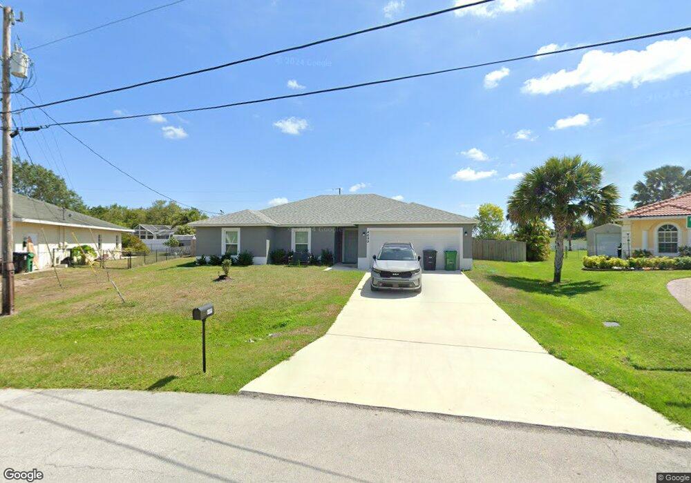
4699 SW Dateland St Port Saint Lucie, FL 34953
Crane Landing NeighborhoodEstimated Value: $380,000 - $438,000
4
Beds
2
Baths
1,809
Sq Ft
$231/Sq Ft
Est. Value
About This Home
This home is located at 4699 SW Dateland St, Port Saint Lucie, FL 34953 and is currently estimated at $417,288, approximately $230 per square foot. 4699 SW Dateland St is a home with nearby schools including Windmill Point Elementary School, Oak Hammock K-8 School, and Bayshore Elementary School.
Ownership History
Date
Name
Owned For
Owner Type
Purchase Details
Closed on
Mar 9, 2023
Sold by
Synergy Homes Llc
Bought by
Ih6 Property Florida Lp
Current Estimated Value
Purchase Details
Closed on
Sep 29, 2022
Sold by
Dela Torre Ingrid Paz
Bought by
Synergy Homes Llc
Home Financials for this Owner
Home Financials are based on the most recent Mortgage that was taken out on this home.
Original Mortgage
$100,000
Interest Rate
5.13%
Mortgage Type
Balloon
Create a Home Valuation Report for This Property
The Home Valuation Report is an in-depth analysis detailing your home's value as well as a comparison with similar homes in the area
Home Values in the Area
Average Home Value in this Area
Purchase History
| Date | Buyer | Sale Price | Title Company |
|---|---|---|---|
| Ih6 Property Florida Lp | $358,000 | Synergy Title | |
| Synergy Homes Llc | $90,000 | Synergy Title Llc | |
| Synergy Homes Llc | $90,000 | Synergy Title Llc |
Source: Public Records
Mortgage History
| Date | Status | Borrower | Loan Amount |
|---|---|---|---|
| Previous Owner | Synergy Homes Llc | $100,000 |
Source: Public Records
Tax History Compared to Growth
Tax History
| Year | Tax Paid | Tax Assessment Tax Assessment Total Assessment is a certain percentage of the fair market value that is determined by local assessors to be the total taxable value of land and additions on the property. | Land | Improvement |
|---|---|---|---|---|
| 2024 | $2,995 | $395,300 | $167,100 | $228,200 |
| 2023 | $2,995 | $94,900 | $94,900 | $0 |
| 2022 | $1,004 | $85,600 | $85,600 | $0 |
| 2021 | $752 | $46,700 | $46,700 | $0 |
| 2020 | $866 | $32,800 | $32,800 | $0 |
| 2019 | $850 | $32,800 | $32,800 | $0 |
| 2018 | $742 | $23,100 | $23,100 | $0 |
| 2017 | $689 | $17,400 | $17,400 | $0 |
| 2016 | $652 | $14,700 | $14,700 | $0 |
| 2015 | $629 | $13,600 | $13,600 | $0 |
| 2014 | $578 | $9,130 | $0 | $0 |
Source: Public Records
Map
Nearby Homes
- 345 SW Becker Rd
- 347 SW Becker Rd
- 4582 SW Floral St
- 642 SW Caburn St
- 313 SW Becker Rd
- 450 SW Ryder Rd
- 4550 SW Calloway St
- 4522 SW Floral St
- 755 SW Babbit Dr
- 379 SW South Quick Cir
- 544 SW Columbus Dr
- 8652 SW Cantante Way
- Felicity Grand Plan at Telaro at Tradition - Tranquility
- Concord Plan at Telaro at Tradition - Oasis
- Sienna Plan at Telaro at Tradition - Oasis
- Willow Plan at Telaro at Tradition - Tranquility
- Lotus Plan at Telaro at Tradition - Oasis
- Eden Grand Plan at Telaro at Tradition - Tranquility
- Harbor Plan at Telaro at Tradition - Oasis
- Brandy Plan at Telaro at Tradition - Oasis
- 600 SW Abode Ave
- 541 SW Knox Ct
- 535 SW Knox Ct
- 612 SW Abode Ave
- 4681 SW Dateland St
- 624 SW Abode Ave
- 529 SW Knox Ct
- 615 SW Abode Ave
- 553 SW South Quick Cir
- 523 SW Knox Ct Unit PTSTLU
- 523 SW Knox Ct
- 602 SW Abraham Ave
- 636 SW Abode Ave
- 4671 SW Dateland St
- 517 SW Knox Ct
- 564 SW South Quick Cir
- 629 SW Abode Ave
- 559 SW South Quick Cir
- 648 SW Abode Ave