46990 260th St Sioux Falls, SD 57107
Estimated Value: $395,000 - $516,323
3
Beds
1
Bath
1,008
Sq Ft
$452/Sq Ft
Est. Value
About This Home
This home is located at 46990 260th St, Sioux Falls, SD 57107 and is currently estimated at $455,662, approximately $452 per square foot. 46990 260th St is a home located in Minnehaha County with nearby schools including Tri-Valley Elementary School, Tri-Valley Junior High School, and Tri-Valley High School.
Ownership History
Date
Name
Owned For
Owner Type
Purchase Details
Closed on
Aug 21, 2025
Sold by
Devish Dale and Dale Devish Living Trust
Bought by
Hill Randall and Hill Allison
Current Estimated Value
Home Financials for this Owner
Home Financials are based on the most recent Mortgage that was taken out on this home.
Original Mortgage
$263,014
Outstanding Balance
$262,559
Interest Rate
6.74%
Estimated Equity
$193,103
Purchase Details
Closed on
Feb 13, 2015
Bought by
Devish Dale D and Devish Lois E
Create a Home Valuation Report for This Property
The Home Valuation Report is an in-depth analysis detailing your home's value as well as a comparison with similar homes in the area
Purchase History
| Date | Buyer | Sale Price | Title Company |
|---|---|---|---|
| Hill Randall | $300,000 | Stewart Title Co | |
| Devish Dale D | $5,000 | -- |
Source: Public Records
Mortgage History
| Date | Status | Borrower | Loan Amount |
|---|---|---|---|
| Open | Hill Randall | $263,014 |
Source: Public Records
Tax History
| Year | Tax Paid | Tax Assessment Tax Assessment Total Assessment is a certain percentage of the fair market value that is determined by local assessors to be the total taxable value of land and additions on the property. | Land | Improvement |
|---|---|---|---|---|
| 2024 | $4,392 | $369,000 | $208,300 | $160,700 |
| 2023 | $4,079 | $320,900 | $160,200 | $160,700 |
| 2022 | $3,194 | $233,200 | $106,400 | $126,800 |
| 2021 | $2,459 | $193,400 | $0 | $0 |
| 2020 | $2,459 | $204,920 | $0 | $0 |
| 2019 | $2,446 | $200,925 | $0 | $0 |
| 2018 | $2,137 | $193,206 | $0 | $0 |
| 2017 | $2,149 | $180,485 | $92,970 | $87,515 |
| 2016 | $2,149 | $179,511 | $92,970 | $86,541 |
| 2015 | $2,201 | $174,298 | $89,220 | $85,078 |
| 2014 | $2,315 | $180,043 | $89,220 | $90,823 |
Source: Public Records
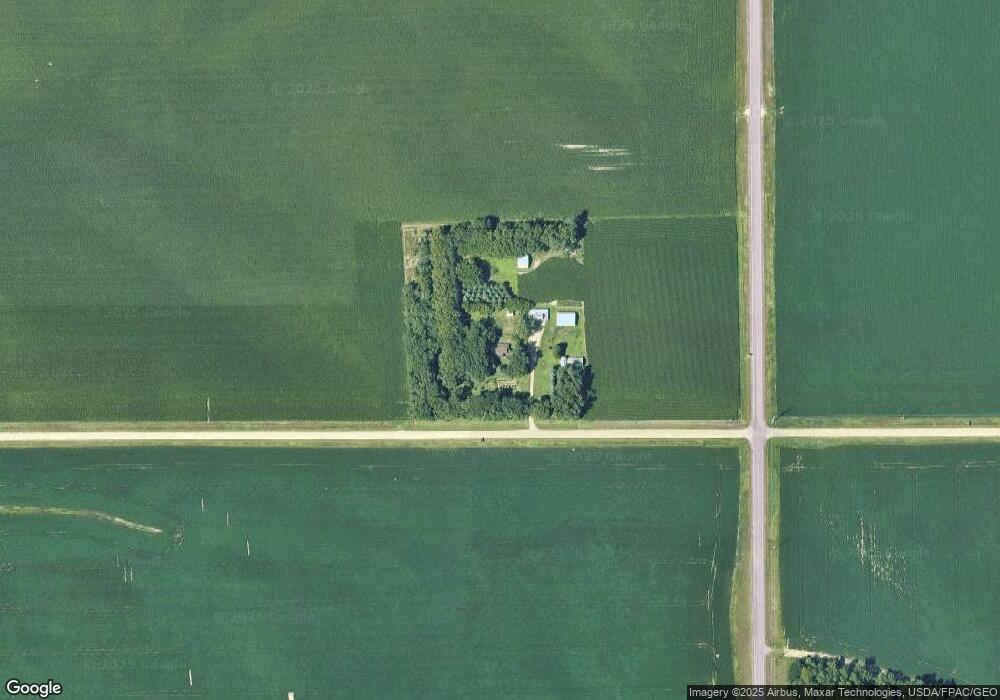
Map
Nearby Homes
- 0 W 60th St N Unit 22302533
- 6105 W 54th St N
- 5528 W Rock Hill Place
- 4202 N Knob Hill Ct
- 5518 Rock Hill Place
- 5513 Rock Hill Place
- 4247 Knob Hill Ct
- 4112 N Jans Dr
- 3901 N Briggs Cir
- 18 W Willow Trail
- 15 W Willow Trail
- 13 W Willow Trail
- 12 W Willow Trail
- 14 W Willow Trail
- 19 W Willow Trail
- 11 W Willow Trail
- 27 W Willow Trail
- 9 W Willow Trail
- 8 W Willow Trail
- 10 W Willow Trail
- 5501 N La Mesa Dr
- 0 Horizon Properties Unit 2762188-6468675
- 0 Horizon Properties Unit 2762188-5330221
- 0 Horizon Properties Unit 2762188-6605495
- 0 Horizon Properties Unit 2762188-4206144
- 47056 260th St
- 26026 469th Ave
- 25904 470th Ave
- 47058 260th St
- 25995 469th Ave
- 46977 259th St
- 25979 469th Ave
- 26035 469th Ave
- 0 W 60th St N Unit 21703014
- 7500 W 60th St N
Your Personal Tour Guide
Ask me questions while you tour the home.